Skip to content
Search
Menu

Bookings here go through Viator, who pay us a commission. You are charged the same either way, and the commission had no say in this list.

Neighbourhood

Brewster

Last updated

The bay town where low tide opens a walking surface that was open sea an hour earlier, and fills again faster than people expect.

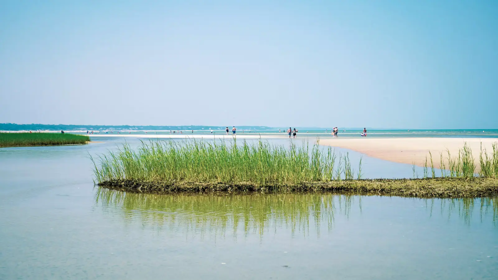
People walking out across wet sand flats at low tide on the bay side of Cape CodUnsplash

Photo: UnsplashUnsplash License

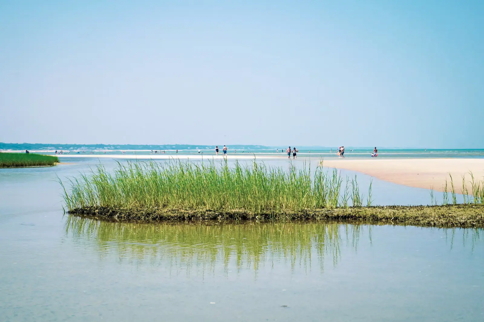
Brewster faces north onto Cape Cod Bay and the tide there does something that no other stretch of this peninsula quite matches. At low water the bay withdraws across an expanse of sand flats often described as the largest in North America, and a shoreline that was open sea becomes a walking surface of ribbed sand, warm shallow pools, hermit crabs and moon snails. People walk out for the better part of a mile. It is the single most characteristic Cape Cod experience that is not on the Atlantic side.

The other half of Brewster's character is the road. Route 6A, the Old King's Highway, runs the length of the town through a historic district of eighteenth and nineteenth-century houses, many of them built for deepwater sea captains. Brewster sent an extraordinary number of masters to sea for a town this size, and the houses they bought with the proceeds are still standing in a row, along with antique shops, the general store, and enough shade that the drive itself is worth doing slowly.

Behind that, the town holds an unusual concentration of things to do. Nickerson State Park with its kettle ponds and campground. The Cape Cod Museum of Natural History with its boardwalk to Wing Island. The Stony Brook Grist Mill, where the alewife herring run climbs the ladder every spring. Drummer Boy Park with the Old Higgins Farm Windmill of 1795. The Punkhorn Parklands, a large area of trails, ponds and old cranberry bog in the town's interior that almost no visitor finds. The Cape Cod Rail Trail runs straight through.

Brewster's population is 10,318, which by Cape standards makes it a real year-round town rather than a resort, and the mix of second homes and residents is more balanced here than on the Outer Cape.

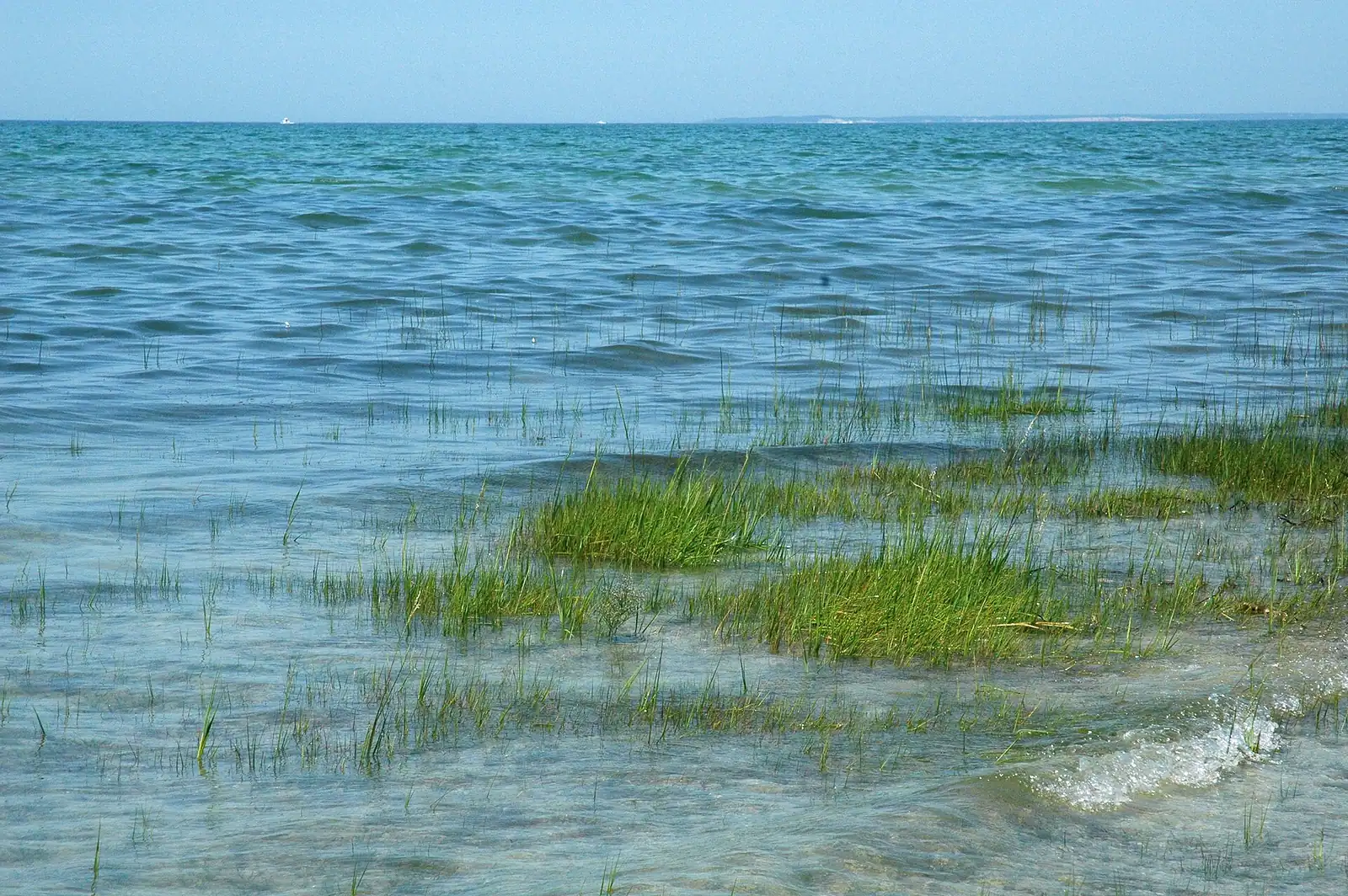
The one thing it does not have is surf. This is bay water: calm, shallow and, by August, genuinely warm.

Getting there and parking

Brewster sits on the bay side of the Lower Cape, with Route 6A running its full length. From the Sagamore Bridge, take Route 6 east to exit 88, 89 or 90 depending on where in town you are heading, then cut north to Route 6A. Allow about an hour in clear conditions.

The better drive is Route 6A itself from Sandwich, which follows the bay shore through the Old King's Highway historic district for around thirty miles. It is slow, low-limit and enforced, and that is the point.

The Cape Cod Rail Trail runs through the town and passes the Nickerson State Park entrance, which makes arriving by bike genuinely practical from Harwich, Orleans and beyond.

Beach landings are reached down short lanes off Route 6A, each ending in a small lot that requires a town parking sticker in season.

The Cape Cod Regional Transit Authority operates seasonal services along the Route 6A corridor. Check the current timetable rather than relying on one.

Walking the flats, and getting back

This is the thing to get right, and it is specific to the bay side.

At low water the flats off Paines Creek, Breakwater, Saints Landing and Crosby Landing extend a very long way out, and the walking is easy: firm ribbed sand with warm channels between the bars. Children find hermit crabs, moon snails, slipper limpets and the occasional horseshoe crab. In the middle distance people look like figures on a beach in a painting, which is exactly what the appeal is.

The tide comes back in across a surface that is nearly flat, which means it arrives as a widening sheet rather than as an advancing edge. Channels between the bars fill first and they fill behind you. People who walked out on a falling tide and did not watch the clock find themselves wading a chest-deep channel between them and the beach.

The rule is simple. Go out on a falling tide, turn round at low water, and be back before it has risen far. Use a tide table, not a guess, and note that low water is roughly fifty minutes later each day.

Wear something on your feet. Broken shell and the occasional crab make bare feet a poor decision out there, and the sand heats enough on a hot day to matter on the way back.

Finally: the flats are not a beach you can swim from at low tide. If swimming is the plan, come on a rising or high tide, when the same shoreline is a warm, calm, shallow bay.
Route 6A and the captains' houses

The Old King's Highway runs from Sandwich to Orleans and the Brewster stretch is the best of it. This is the Cape's historic road, laid out on the line of an older route, and the district it passes through is protected, which is why there is no strip development along it.

The houses are the story. Brewster produced a disproportionate number of deepwater sea captains in the age of sail, men who commanded ships out of Boston and New York on the China, India and packet trades, and who built or bought substantial houses back here with the money. They are mostly white clapboard or shingle, full-width, sitting close to the road with the front door centred, and there is a row of them.

Interspersed are antique dealers, the Brewster Store, churches, small galleries, ice cream, and a number of restaurants of a quality that surprises people expecting resort food.

Drive it slowly. The speed limit is low, it is enforced, and the pleasure of the road is entirely lost at forty. Cycling it is possible but Route 6A is narrow with an inconsistent shoulder and summer traffic, so the Rail Trail is the better bet for riding.

The Brewster Whitecaps of the Cape Cod Baseball League play free summer games at Stony Brook Elementary, wooden bats and a collection hat, which is one of the better free evenings on the Lower Cape.

Stony Brook, the herring run and the Punkhorn

In April and May, alewives run up Stony Brook from the bay to spawn in the ponds above, climbing a stepped fish ladder beside the old grist mill. You can stand a few feet away and watch them hold in the current and go up a step at a time. It is one of the most-visited herring runs on Cape Cod and it is free.

The run's timing depends on water temperature and varies year to year, generally peaking somewhere in April. Counts have fluctuated substantially and there are restrictions on taking herring in Massachusetts, so this is a watching activity rather than a fishing one.

The Stony Brook Grist Mill beside it is a restored water-powered mill that operates on a seasonal schedule with corn grinding demonstrations. A small museum sits upstairs. Opening is limited and seasonal.

Behind all of this, the Punkhorn Parklands occupy a large tract of the town's interior: several miles of trails through pine and oak, around freshwater ponds and past abandoned cranberry bog. It is the least visited significant walking area on the Lower Cape and it is where residents go with a dog. There is no visitor centre, no facilities and patchy signage. Take a map.

Drummer Boy Park, on Route 6A, has the Old Higgins Farm Windmill of 1795, a playground, and open ground used for town events.

Beaches, stickers and where the parking actually is

  • Every Brewster town beach requires a parking sticker in season. The town sells non-resident stickers in daily, weekly and seasonal forms through its own system. Prices and categories are revised annually, so check the current schedule.
  • The lots are small. Breakwater, Paines Creek, Saints Landing, Crosby Landing, Ellis Landing, Linnell Landing and Robbins Hill are all modest, and several fill by mid-morning on a hot day.
  • Crosby Landing is the largest and usually the last to fill. Paines Creek is the classic flats-walking beach and the best sunset. Breakwater is the most popular with families.
  • There are no lifeguards at most Brewster beaches, which is normal for the bay side and worth knowing.
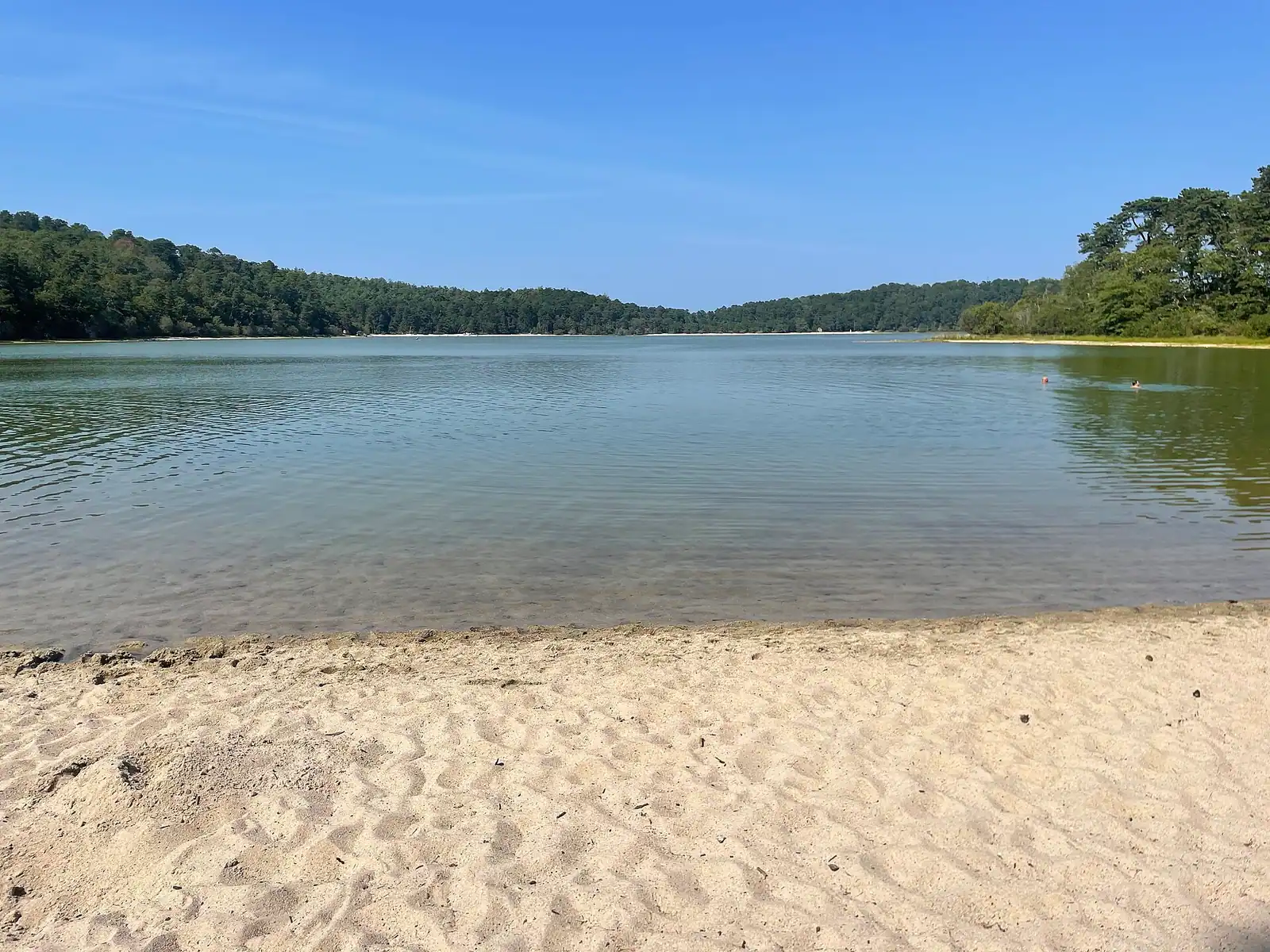
  • Nickerson State Park's ponds are the alternative on a day when the beach lots are full, and its parking is included with day-use entry.
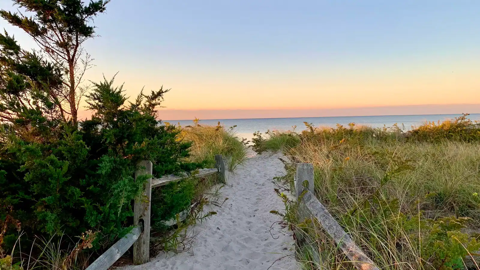
  • Sunset faces west across the bay, which is the right orientation and the reason Paines Creek fills again in the evening after the day crowd has gone.
  • Restrooms are limited. Several of the landings have none at all.

Near Brewster

Straight-line distances, so allow more on the road — the island is long and has one main parkway.

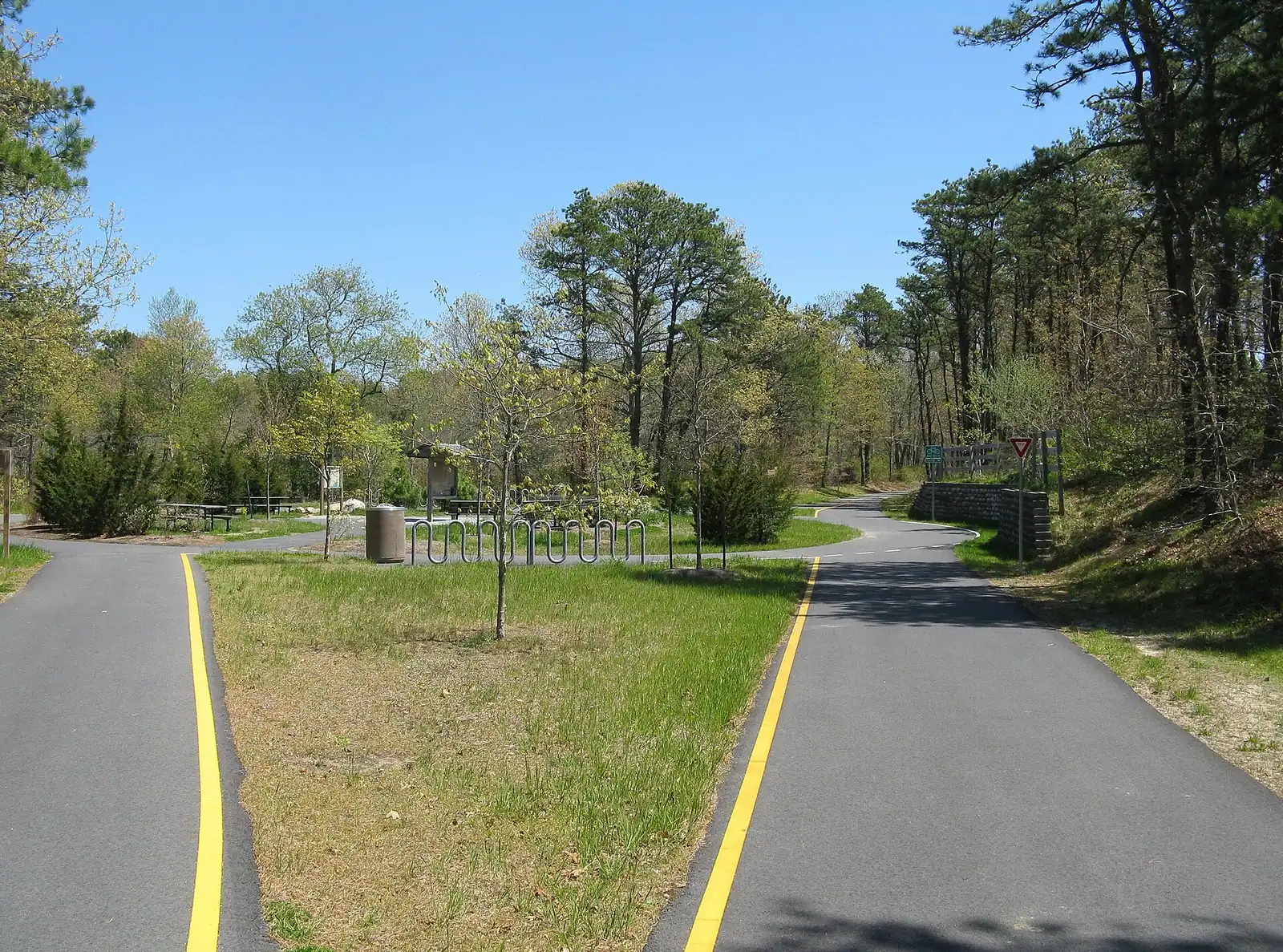
  • A paved pathway running between green grass under an overcast sky

    Park

    Nickerson State Park

    Eight glacial kettle ponds in nineteen hundred acres of pine, with the Cape's only large public campground and its warmest swimming.

    2–8 hoursState park day-use parking fee in season; camping and yurts are booked and priced separately3.6 mi away

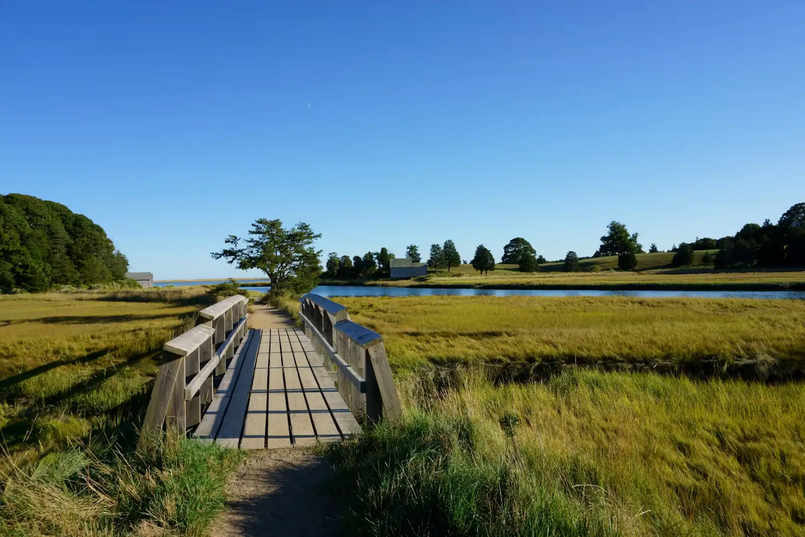
  • A wooden boardwalk crossing a grassy salt marsh on Cape Cod

    Museum

    Cape Cod Museum of Natural History

    A small local aquarium with a marsh boardwalk out the back that leads to Wing Island and the Brewster flats.

    1.5–3 hoursPaid admission, modest by museum standards, with reduced and family rates usually offered0.6 mi away

  • A paved pathway running between green grass under an overcast sky

    Trail

    Free

    Cape Cod Rail Trail

    Twenty-five and a half paved miles on an old railbed through seven towns, and the way to reach a beach in August without parking.

    1.5–6 hoursFree to use. Some trailhead car parks charge or require a town sticker.3.1 mi away

  • Low sun over a thin sheet of water lying on an exposed sand flat at low tide

    Beach

    Free

    Skaket Beach

    Warm, shallow bay water over a flat that empties for most of a mile — and a car park small enough that it shuts by mid-morning in July.

    2–5 hoursFree to enter. Town parking is charged in season by daily rate or Orleans beach sticker.4 mi away

Brewster: common questions

What are the Brewster flats?

The expanse of sand exposed off Brewster's shoreline when the tide goes out on Cape Cod Bay, often described as the largest tidal flats in North America. At low water you can walk out the better part of a mile across ribbed sand and warm shallow pools, finding hermit crabs, moon snails and horseshoe crabs. It is the most characteristic Cape Cod experience that has nothing to do with the Atlantic side of the peninsula.

Is it safe to walk out on the Brewster flats?

Yes, with one discipline. Because the flats are nearly level, the returning tide arrives as a widening sheet rather than an advancing edge, and the channels between sandbars fill behind you. Walk out on a falling tide, turn round at low water and be back before it has risen far, using a tide table rather than a guess. Wear something on your feet: broken shell out there makes bare feet a poor idea.

Do you need a beach sticker in Brewster?

Yes, at every town beach landing in season. Brewster sells non-resident parking stickers in daily, weekly and seasonal forms through the town, and prices and categories are revised annually, so check the current schedule rather than a second-hand figure. The lots are small: Crosby Landing is the largest and usually the last to fill, while Breakwater and Paines Creek go by mid-morning on a hot day.

When is the herring run in Brewster?

Generally in April, with the peak varying year to year with water temperature, and running into May. Alewives climb a stepped fish ladder beside the Stony Brook Grist Mill on their way from Cape Cod Bay to the ponds above, and you can stand a few feet away and watch them hold in the current and move up a step at a time. It is free, and it is a watching activity: taking herring is restricted in Massachusetts.

Is Brewster a good base for a Cape Cod holiday?

For families and for anyone who wants a real town rather than a resort, yes. Brewster has 10,318 year-round residents, the Cape Cod Rail Trail running through it, Nickerson State Park's kettle ponds and campground, the bay flats, a natural history museum and thirty miles of Route 6A on its doorstep. What it does not have is surf: this is calm, shallow, comparatively warm bay water, and the Atlantic beaches are half an hour away.