Skip to content
Search
Menu

Bookings here go through Viator, who pay us a commission. You are charged the same either way, and the commission had no say in this list.

Beaches

Cape Cod National Seashore

Last updated

Cape Cod National Seashore: forty miles of Atlantic shore protected since 1961, the six ocean beaches, what the entrance fee covers, and the trails.

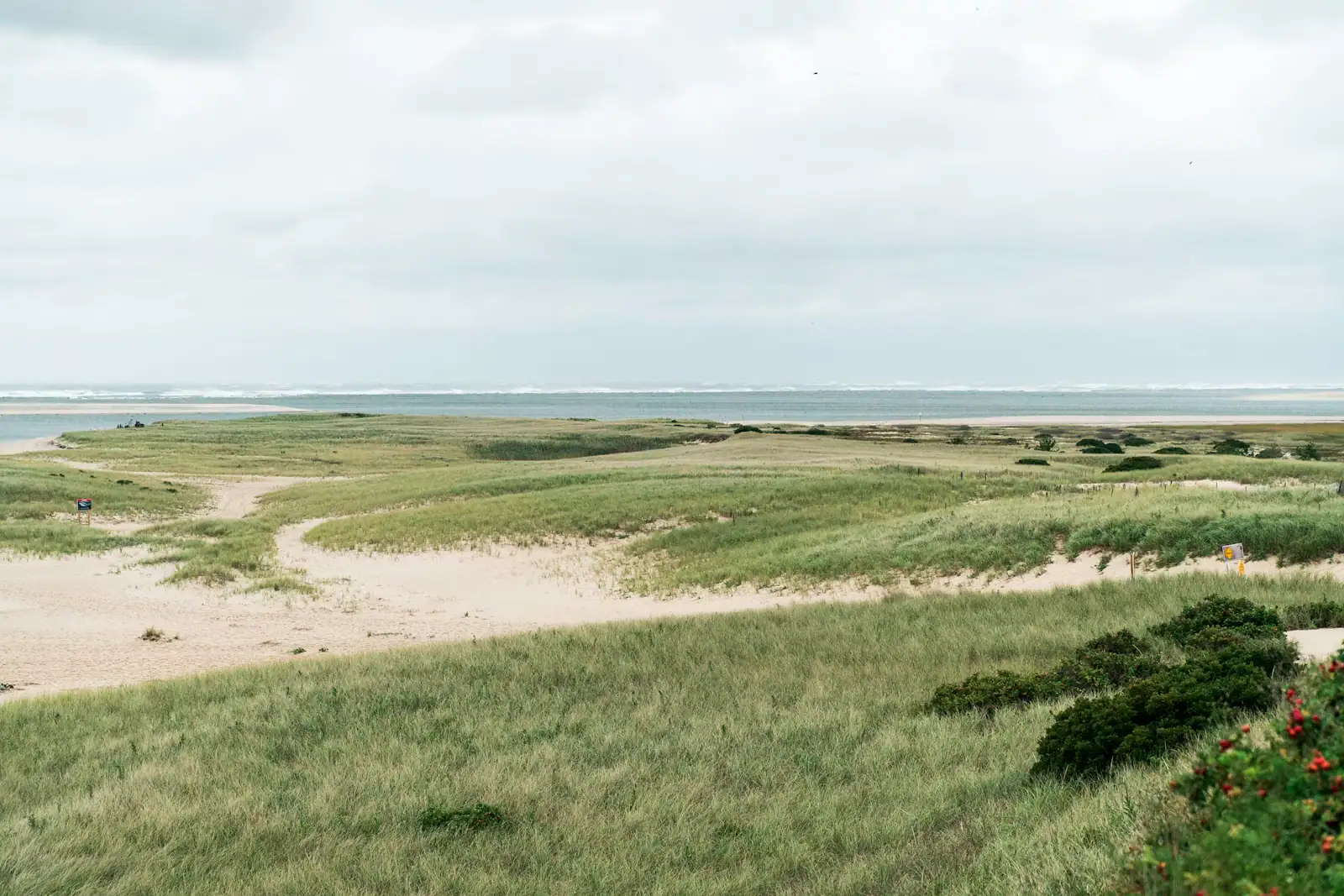
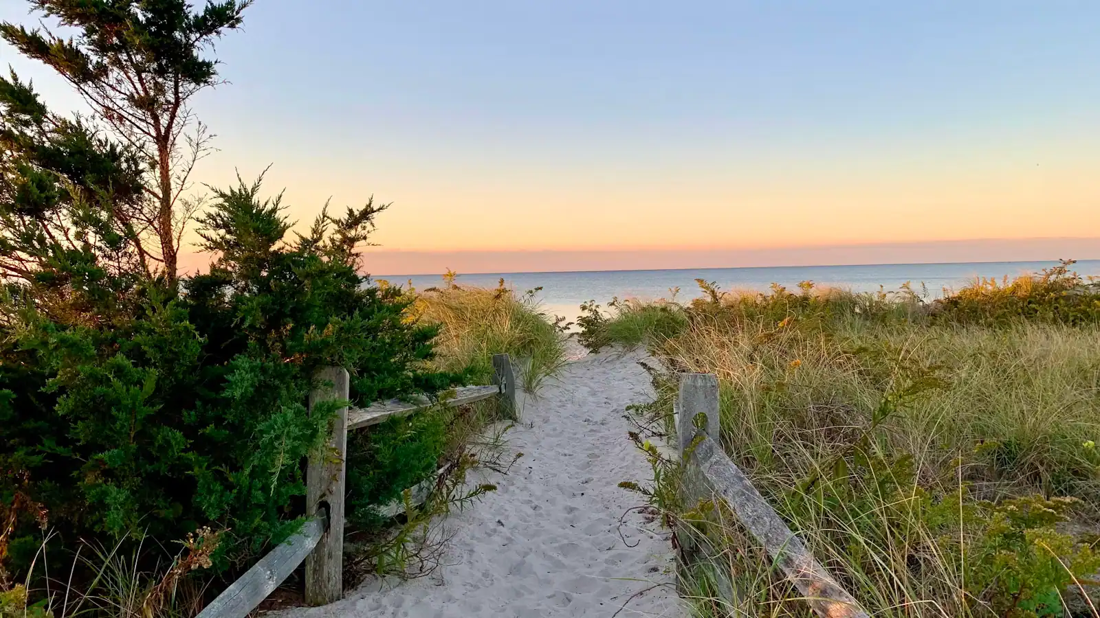
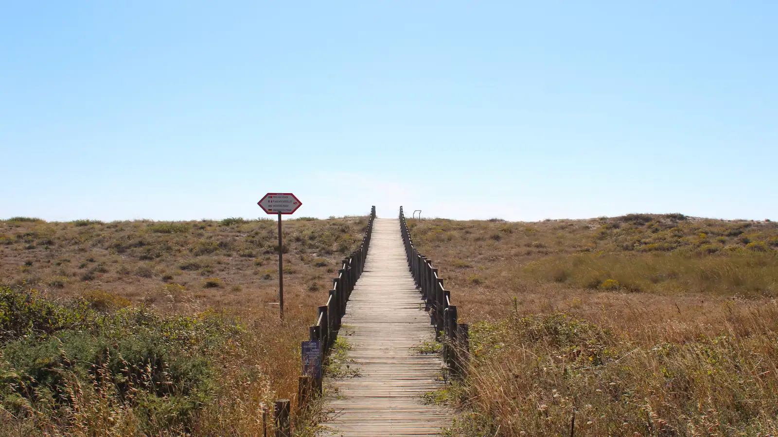
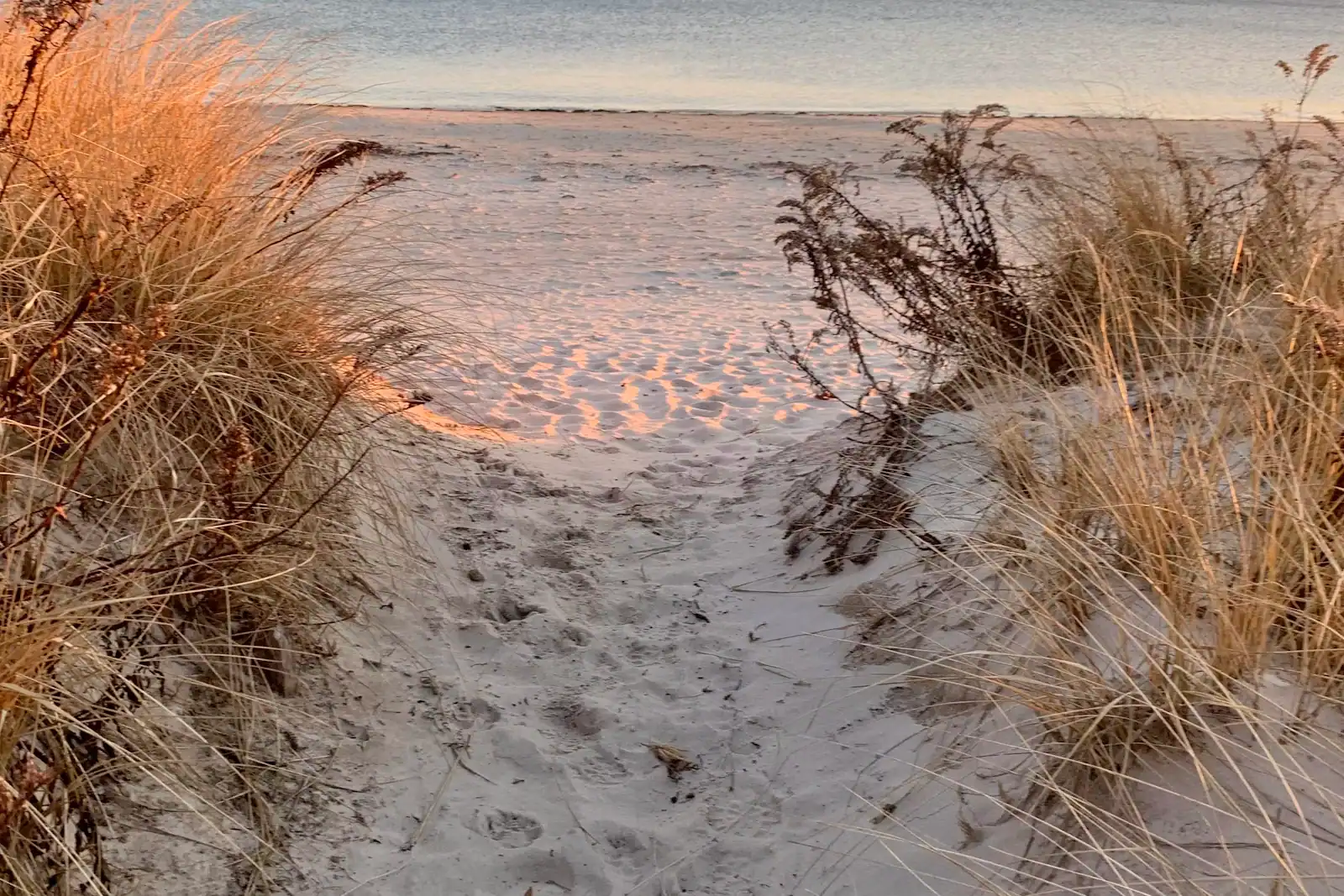
A sandy footpath lined with beach grass dropping down toward the shore on Cape CodUnsplash

President Kennedy signed Cape Cod National Seashore into existence on 7 August 1961, having co-sponsored the bill as a senator for Massachusetts a few years earlier. What he protected was roughly forty miles of Atlantic shoreline and about 43,600 acres behind it, spread across Provincetown, Truro, Wellfleet, Eastham, Orleans and Chatham. Sixty-five years on it takes close to four million visits a year and is the reason the Outer Cape looks nothing like the developed south shore.

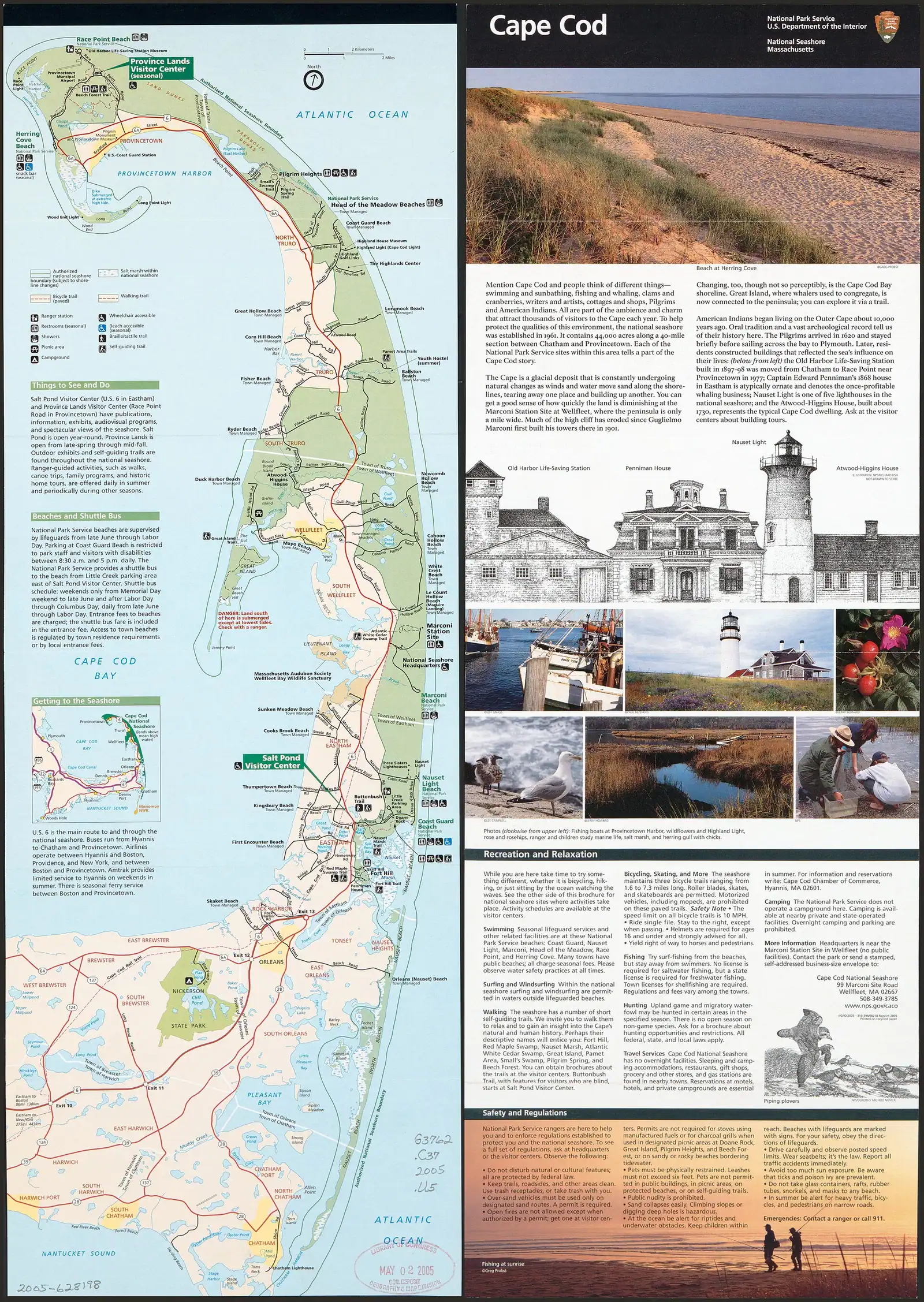
It is also an unusual park, and understanding why makes the visit easier. The land was not empty when the boundary was drawn. Several hundred houses already stood inside it, and the legislation let them remain under conditions rather than clearing them out, which is why you will drive past private mailboxes on your way to a federal beach. The six towns kept their own zoning authority inside the park, an arrangement almost unheard of in the National Park System, and the compromise is the reason the Seashore exists at all. There is no single gate, no scenic park road and no grand entrance sign. What there is instead is a string of turnings off Route 6, each leading to a beach, a trailhead or a car park, from Coast Guard Beach in Eastham to Race Point at the tip.

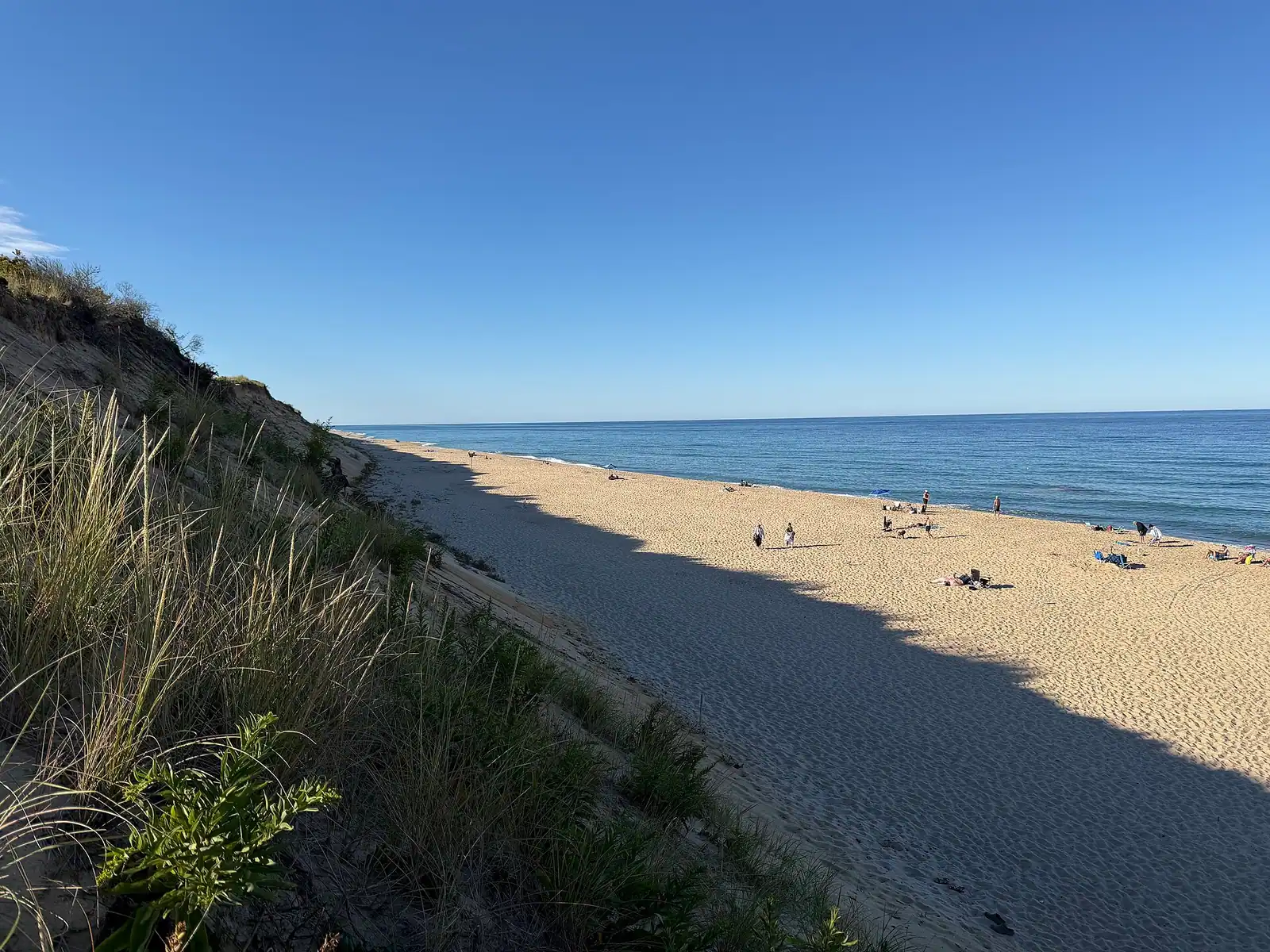
The headline is the ocean shore. Six beaches inside the park charge an entrance fee and are guarded in high summer: Coast Guard and Nauset Light in Eastham, Marconi in Wellfleet, Head of the Meadow in Truro, and Race Point and Herring Cove in Provincetown. All six face open Atlantic water, all six are cold, and all six sit under a purple shark advisory flag that is a standing notice rather than a daily alarm. Herring Cove is the odd one out and the reason is geography: the Cape hooks so far round at the tip that Herring Cove faces west, so it is the only ocean beach here where the sun sets into the water in front of you.

Behind the sand the park is more varied than most people realise. There is a white cedar swamp you walk down into, below the level of the land around it, on a boardwalk in Wellfleet. There is an eight-mile tidal walk out along Great Island that is the hardest day hike on the peninsula. There is a glacial boulder the size of a small house in the woods at Eastham, a beech forest behind Provincetown's dunes, a salt marsh at Fort Hill that is worth a sunrise, three paved bike trails including a five-and-a-half-mile loop through the Province Lands that is the best short ride in New England, and a historic district of dune shacks out on the back shore where writers and painters have been holing up for a century.

There is a lot of erosion, too, and the park is honest about it. The outer shore retreats on the order of three feet a year on average and far more in a single bad winter. Two lighthouses inside the Seashore were physically picked up and carried inland in 1996. Marconi's wireless station, which sent the first transatlantic message from American soil in 1903, has largely fallen into the sea. Staircases get rebuilt, car parks get shortened, and the overlook you remember may be closer to the edge than it was.

Everything below is arranged so you can decide what a day here is for: a beach, a walk, a ride, or the history.
Our picks

The ones we would book

  • Editor's Pick

    Best way into the back-shore dunes

    Why we chose it

    An over-sand tour of the Province Lands reaches the dune shacks and the ocean side of the hook, where no public road runs and walking in soft sand for a mile discourages most people. It works in weather that ruins a beach day and it explains the landform better than any exhibit: sand actively moving, forest being buried, ocean on three sides.

  • Best Value

    Cheapest guided hour on the Outer Cape

    Why we chose it

    The park's own ranger programmes cost nothing and are the best-value thing here, so anything you pay for has to beat free. A short shared sightseeing trip out of Provincetown clears that bar because it puts the Seashore on your other side, seen from the water, which no walk can do.

    Provincetown Self-Guided Walking Audio Tour

    Audio Guides

    Best ValueFree cancellationPrivate tour

    Provincetown Self-Guided Walking Audio Tour (opens in a new tab)

    6 reviews

    Explore Provincetown's rich history with this self-guided walking tour! Discover the charm of Commercial Street, admire the towering…

    1 hour

    Prices checked

    from $14.99
  • Best for Families

    Best booked trip to pair with a beach day

    Why we chose it

    Something two hours or under out of Provincetown, timed for late morning so the afternoon is free for Race Point or Herring Cove. Children last well on a boat and badly on a hot dune walk, and the Old Harbor rescue demonstration on the sand afterwards is free and holds seven-year-olds better than most paid attractions.

  • Small Group

    Best small-group option for the history

    Why we chose it

    The Seashore's story is wrecks, wireless, lifesavers and erosion, and it lands better with a guide who can point at the specific bluff. A capped group means questions get answered rather than broadcast, which matters at the Marconi site where there is very little left to look at and the interest is entirely in the telling.

    Self Guided Driving Audio Tour Cape Cod

    Car Tours

    Small GroupFree cancellationPrivate tour

    Self Guided Driving Audio Tour Cape Cod (opens in a new tab)

    1 review

    Download GuideAlong's Cape Cod audio tour to discover what “summer” really means. Drive the iconic “bent arm” between Barnstable and…

    4 hours

    Prices checked

    from $16.99
  • Accessible

    Best option when dune stairs are out of the question

    Why we chose it

    Nauset Light and Marconi both involve a long descent, and Great Island is four hours in soft sand. A vehicle-based or boat-based trip removes the climb entirely. The Province Lands Visitor Center deck and the Fort Hill overlook are the two viewpoints in the park reachable with minimal walking, and both are free.

    a stop at the portuguese Bakery

    Private Sightseeing Tours

    AccessibleFree cancellationPrivate tour

    Local Legends and Lobster Roll Tour (opens in a new tab)

    20 reviews

    Ready to taste Ptown? Lace up for a 2-hour trek through history and coastal rebel lore. You’ll track the footsteps of Anthony Bourdain and…

    2 hours

    Prices checked

    from $105

The entrance fee, the passes and the free ways in

What it costs

The Seashore's fee applies at the six beach gates and nowhere else, which surprises people.

What is charged. A seasonal entrance fee is collected at the six ocean beaches from roughly late May to mid-September, with separate rates for a private vehicle, a motorcycle, and a person arriving on foot or by bicycle aged sixteen or over. An annual seashore pass covers all six for the calendar year and pays for itself within a few visits. The America the Beautiful interagency annual pass is accepted, as are the senior, access and military passes. Booths take cards rather than cash, and passes are sold at the beach entrances rather than at the visitor centres.

What is free, all year. Every trail in the park. Both visitor centres. Fort Hill and the Nauset Marsh overlook. Doane Rock. The Atlantic White Cedar Swamp boardwalk. The Great Island trailhead. The three bike trails. The Marconi site. Beech Forest. Pilgrim Spring. In other words, most of the park.

What is free outside the season. The gates themselves. Once fee collection stops in the autumn, you can drive into Race Point or Marconi and park without paying, which is one reason the Outer Cape in October is such good value. The beaches are unguarded then and the water is serious, so this is a walking, surfcasting and seal-watching arrangement rather than a swimming one.

Rates are reviewed annually. Check the current figures before you travel rather than relying on any published guide, this one included.

The walks, ranked by what they give you

Salt marsh grass and a winding tidal channel under a wide overcast sky on Cape CodUnsplash
Salt marsh grass and a winding tidal channel under a wide overcast sky on Cape Cod

The trails are the part of this park that day-trippers skip, and they are the reason to come back.

Atlantic White Cedar Swamp, Wellfleet. Roughly a mile and a quarter from the Marconi site, and the only trail on the Cape that descends. You drop off the sandy plain into a bowl where white cedar grows out of standing water, and walk through it on a boardwalk in green light with the temperature several degrees lower than the car park. It is the strangest fifteen minutes in the park.

Great Island, Wellfleet. Around eight miles round trip over soft sand and tidal flat, with no shade and no water, and it takes most people four hours. It reaches the site of Samuel Smith's tavern, occupied in the early 1700s when this was a whaling lookout, and at the far end you are standing on a spit with Cape Cod Bay on both sides. Check the tide before you start: part of the route floods.

Fort Hill, Eastham. A short loop above Nauset Marsh, and the best sunrise on the Cape that does not require standing in the ocean wind. The Red Maple Swamp boardwalk continues from it.

Nauset Marsh Trail, Eastham. About a mile and a half from Salt Pond Visitor Center, around the pond and along the marsh edge. The most useful orientation walk in the park.

Beech Forest, Provincetown. A pond, a beech wood and a dune that is actively burying the trees at one edge. Migrating warblers stop here in May, and birders know it.

Doane Rock, Eastham. Not a walk so much as a detour. The largest exposed glacial erratic on the Cape sits in the woods off Doane Road, dropped where it stands by ice sheet retreat roughly eighteen thousand years ago.

The three bike trails inside the park

When to go

These are separate from the Cape Cod Rail Trail, they are all paved, and the middle one is the best short ride on the peninsula.

Nauset Trail, Eastham. About a mile and a half each way from Salt Pond Visitor Center to Coast Guard Beach, through scrub oak and pitch pine and out over the marsh edge. The obvious family option, and the way to reach Coast Guard Beach without the parking problem. It connects to the Rail Trail at Salt Pond, so you can ride in from Eastham or further.

Head of the Meadow Trail, Truro. Roughly two miles each way between High Head and Head of the Meadow Beach, flat, quiet and unspectacular until you realise there is nothing else out there. The least used of the three.

Province Lands Trail, Provincetown. A loop of about five and a half miles through the dunes behind Race Point, with spurs down to Race Point and Herring Cove beaches and up to the Province Lands Visitor Center. It is genuinely hilly, the curves are tight and blind, and the surface rolls through bowls of open sand with beech forest on one side and the Atlantic on the other. Ride it clockwise, ride it early, and do not ride it at speed with children: the descents catch people out and the sand blows across the tarmac.

All three are open year-round and free. Rentals are available in Eastham and Provincetown. In August, start before nine or after four.

Marconi, the life-saving stations and the dune shacks

The human history here is about the Atlantic doing things to people, and the park keeps three strands of it.

Marconi. On a bluff at South Wellfleet in January 1903, Guglielmo Marconi's station sent the first transatlantic wireless message from the United States, an exchange between President Theodore Roosevelt and King Edward VII. The station was dismantled in 1920, and most of what was left has gone over the cliff since. What you get now is an overlook, a model, interpretive panels and a few concrete anchor blocks, on the highest, windiest ground on this stretch of coast. It is worth ten minutes, and the view up and down the outer beach is the reason.

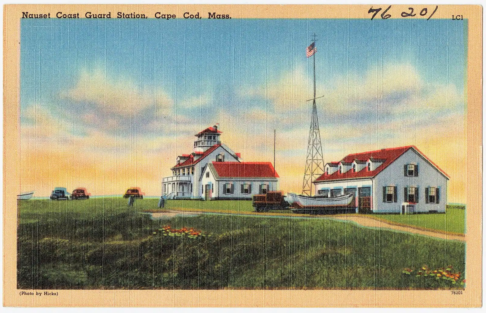
The life-saving service. This shore wrecked ships in industrial quantities, and a chain of life-saving stations was strung along it from the 1870s, each with a crew that patrolled the beach on foot at night. Old Harbor Life-Saving Station, the surviving example, was barged up from Chatham to Race Point in 1977 to save it from erosion and now sits behind the dune there as a museum. In summer the park runs a breeches buoy rescue demonstration on the sand. Take the children.

The dune shacks. Out on the back shore behind Provincetown stands a scatter of small wooden shacks, listed together as the Dune Shacks of Peaked Hill Bars Historic District across roughly 1,950 acres. They have no mains services. Writers and painters have used them for a century, and the tradition is still alive. Occupancy arrangements have changed repeatedly and are not something to plan a holiday around, but the shacks can be seen from the dune trails and from over-sand tours, and they are the most photographed vernacular architecture on the Cape.

A coast that is leaving: what erosion means for your visit

This is not background colour. It determines what is open.

The outer shore of Cape Cod retreats on the order of three feet a year averaged over time, and a single winter storm can take a decade at once. In the blizzard of February 1978 the Coast Guard Beach car park and the bathhouse went into the ocean, which is why you now park inland and shuttle. Beach staircases are rebuilt or closed most winters. Sections of dune are roped off after a storm and stay roped for a season.

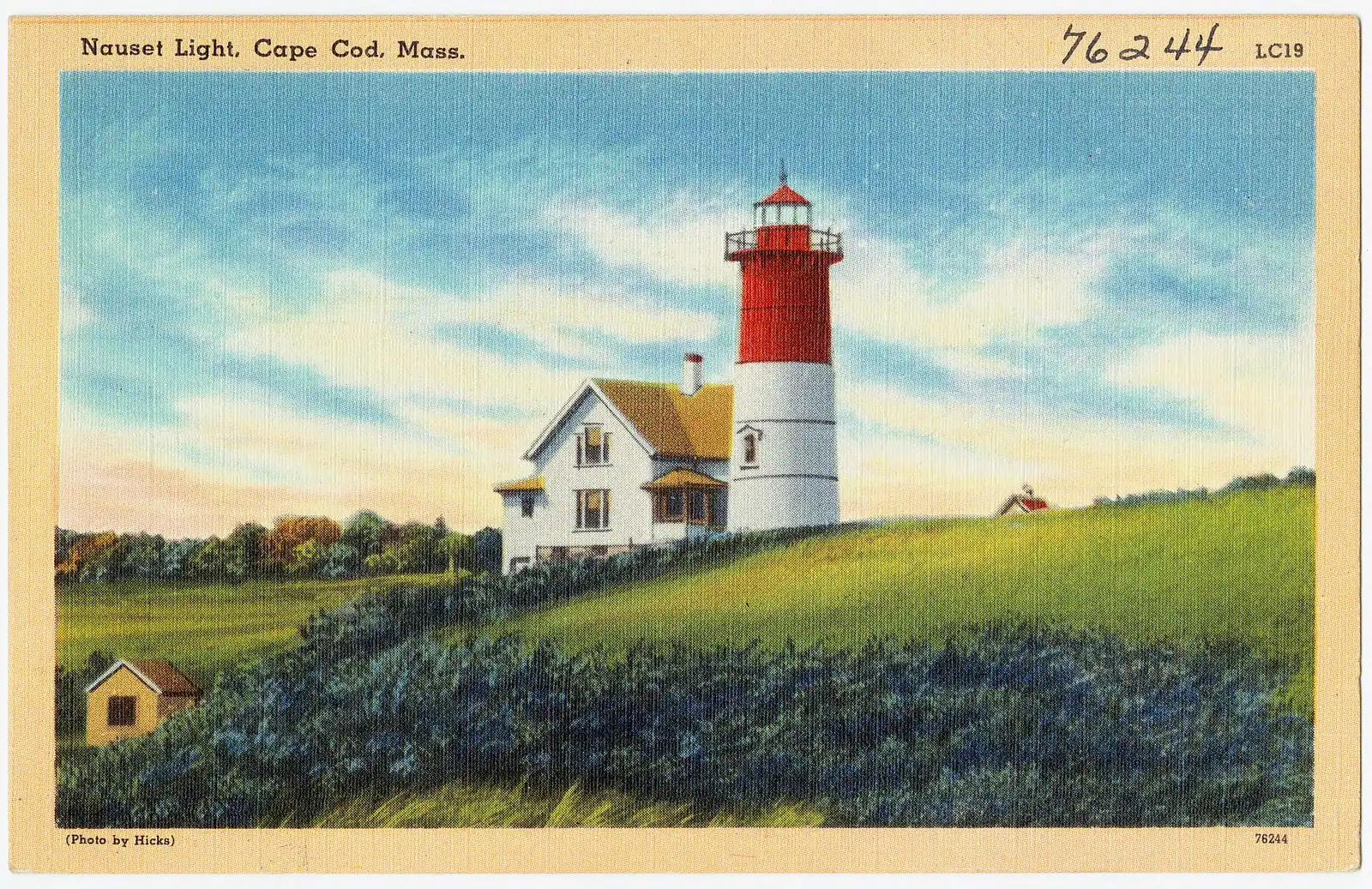
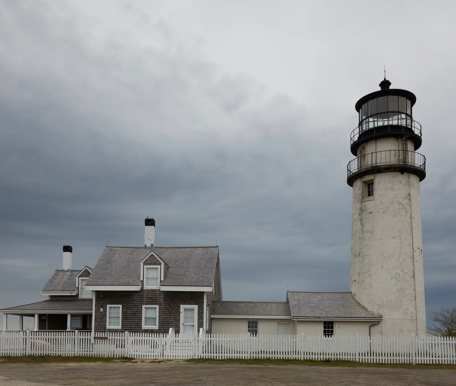
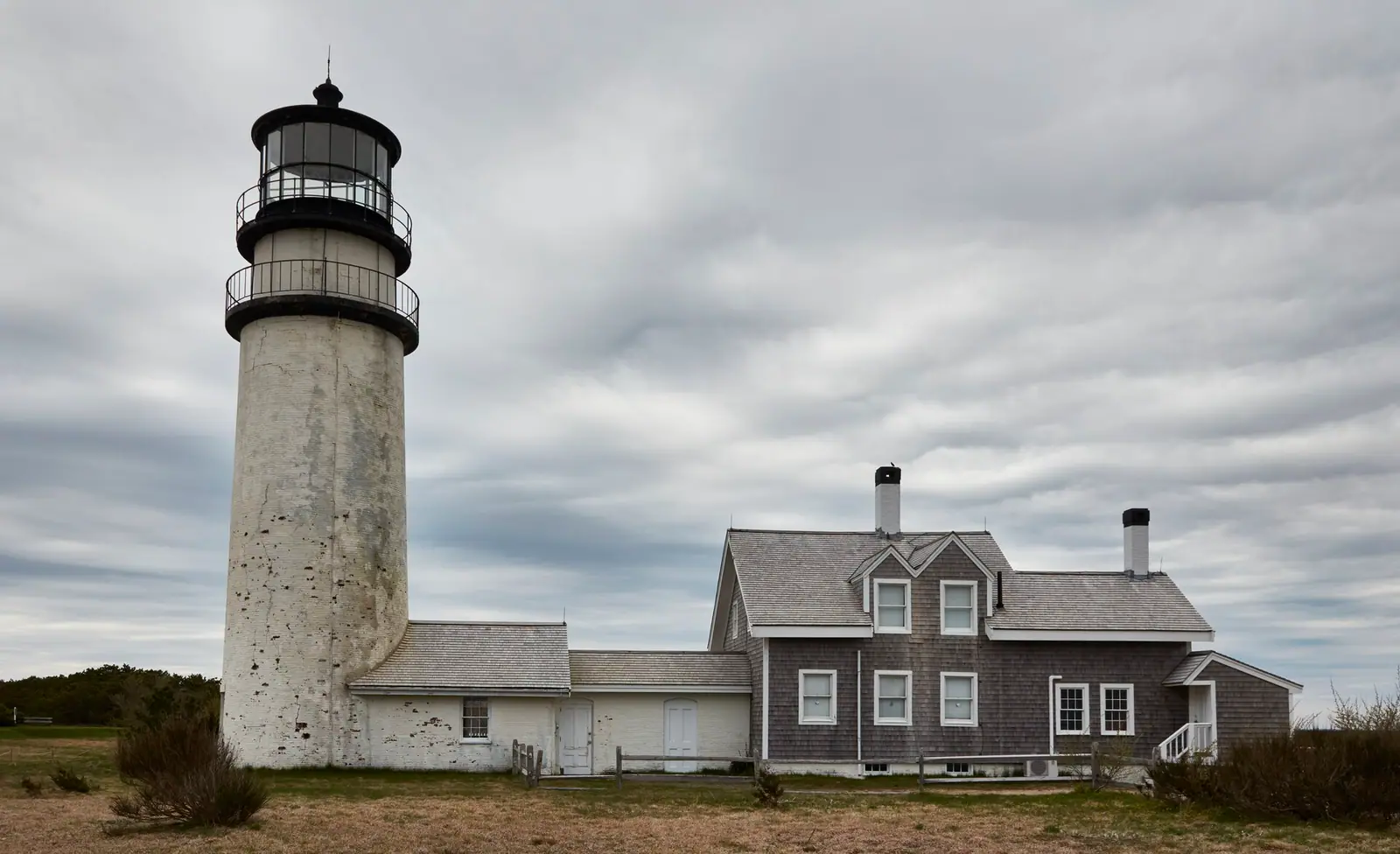
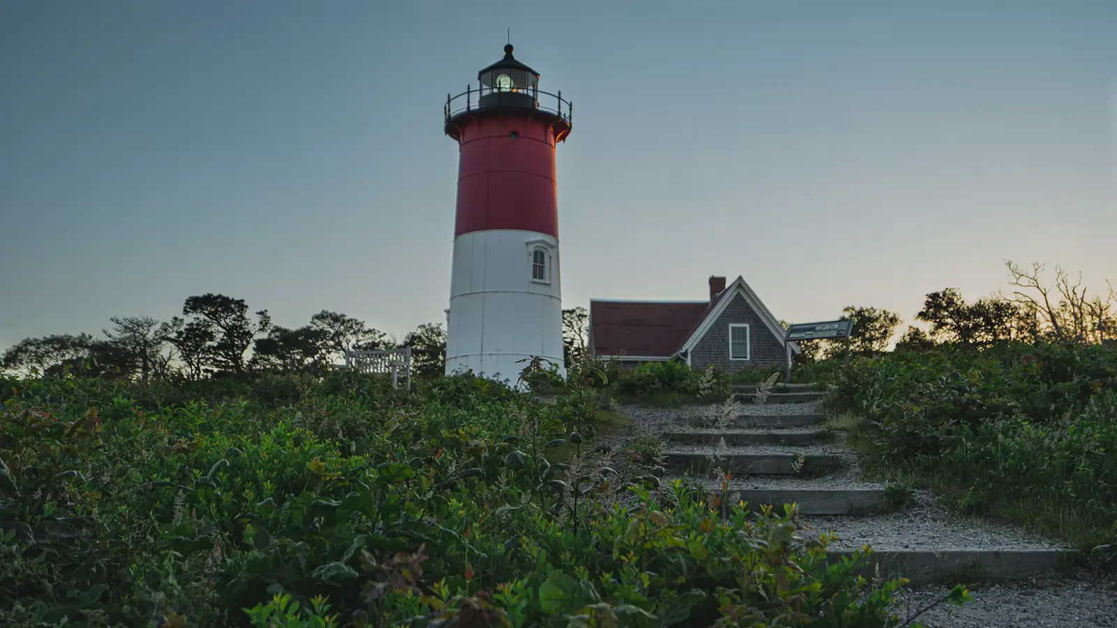
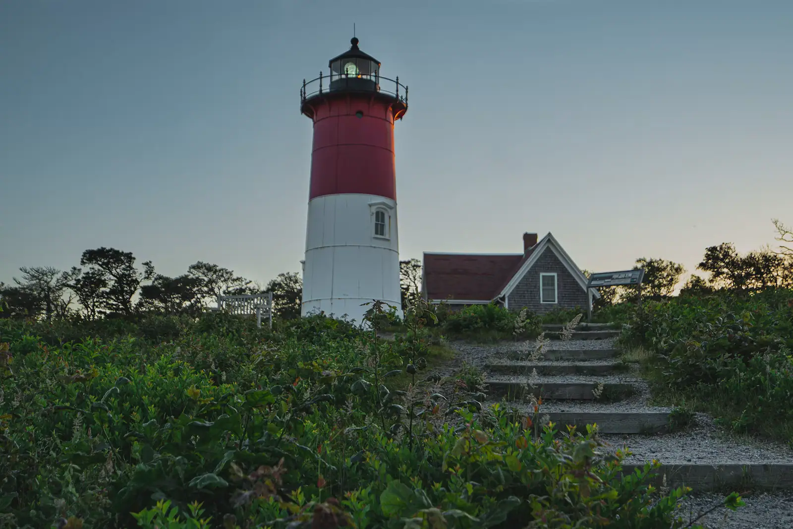
The most dramatic response was in 1996, when two lighthouses inside the Seashore were physically moved. Highland Light in Truro, a 66-foot brick tower dating from 1857, was jacked up and carried 450 feet west over eighteen days that July. Four months later Nauset Light in Eastham, by then standing close to the edge of a seventy-foot bluff, was moved 336 feet and relit the following May. Both moves are documented on interpretation boards at the sites and both are more interesting standing there than they sound in a paragraph.

The practical instruction is simple. Check the park's current conditions page in the week you travel rather than trusting any guide about a specific staircase, overlook or parking area. Do not walk below an active dune cliff after rain, do not climb an eroding face, and keep off roped dune vegetation: American beachgrass is what holds this landscape together and it takes years to come back.

Visitor centres, seasons and the rules that catch people out

Local tips

  • Salt Pond Visitor Center, Eastham is the main one, at the junction of Route 6 and Nauset Road. Exhibits, a film, the ranger desk, the start of the Nauset Marsh Trail and the Nauset bike trail. Start here on a first visit.
  • Province Lands Visitor Center, Provincetown is the seasonal one, up in the dunes off Race Point Road, with a rooftop observation deck that gives you the whole tip of the Cape in one turn. Worth the detour even if you skip the exhibits.
  • Ranger programmes run through the summer: beach walks, marsh walks, the Old Harbor rescue demonstration, evening talks and canoe trips. Many need booking and several fill the day they open.
  • Dogs are restricted. They are not allowed on the guarded beaches in season, not permitted on several trails, and prohibited in shorebird nesting areas from spring into summer. Check before you bring one.
  • Over-sand driving at Race Point requires a Seashore permit, the right equipment and a briefing. It is not a rental-car activity.
  • Drones are prohibited across the park, as they are in the National Park System generally.
  • Fires on the beach need a permit and are only allowed at specified beaches and times.
  • Nothing is sold at most of these beaches beyond a seasonal snack bar at one or two. Bring water. There is no shade anywhere on the outer shore.
  • Off season, roughly from Columbus Day to Memorial Day, the gates stop charging, the guards go, some restrooms close and the Outer Cape becomes very quiet indeed. It is the best time to walk here and the worst time to assume a restaurant is open.

Three ways to spend a day in the park

When to go

The first-timer's day, based in Eastham. Salt Pond Visitor Center at opening for the film and the map. Nauset Marsh Trail, an hour. Drive to Fort Hill for the marsh view. Lunch in Eastham or Orleans. Afternoon at Coast Guard or Nauset Light Beach. Nauset Light tour if it is a tour day. Sunset on the bay at First Encounter, twelve minutes across the Cape. That day gives you ocean, marsh, bay and one lighthouse without ever driving more than fifteen minutes.

The Outer Cape day, based anywhere. Start at Marconi for the cliff view and walk the white cedar swamp. Head of the Meadow beach or the Pamet valley walks in Truro in the middle of the day. Highland Light late afternoon, when the tour queue has gone. Finish at Herring Cove for the sunset, which is the only ocean sunset on the east coast of the United States that faces this way.

The Provincetown day. Ride the Province Lands loop early while it is cool and empty. Province Lands Visitor Center deck for the orientation. Race Point beach and the Old Harbor station. Lunch on Commercial Street. Afternoon whale watch from MacMillan Pier, four hours, which is the single best bookable thing on Cape Cod. You will be tired.

In July and August, be at a gate before nine or after three thirty. The middle of the day is when the lots fill and the queue on Route 6 builds, and a full car park at Race Point means a drive back down the Cape.

Book it

Everything else we track

Bookings here go through Viator, who pay us a commission. You are charged the same either way, and the commission had no say in this list.

  • Savor the charm of The Red Inn, a historic Provincetown gem offering stunning waterfront views, cozy elegance, and timeless New England hospitality.

    Short term availability

    Free cancellationPrivate tour

    Provincetown West End History Tour (opens in a new tab)

    7 reviews

    Join Your guide Cathy and embark on a captivating journey through Provincetown’s West End, where the sands of time meet the tides of…

    1–2 hours

    Prices checked

    from $68

The six ocean beaches, and how they differ

How they compare

All six charge the same entrance fee. They are not the same experience.

BeachTownThe characterWorth knowing
Coast GuardEasthamThe classic: a long crescent below a bluff, reached on foot or by shuttle from the Little Creek lot in summerNo car park at the beach itself in peak season; budget for the shuttle or the walk
Nauset LightEasthamSteep bluff, a stair descent, the red and white lighthouse above itThe stairs are the workout; the lot is small and fills early
MarconiWellfleetHigh sand cliff, big views north and south, the wireless station site on the bluffThe most exposed of the six; wind can make it unpleasant
Head of the MeadowTruroQuieter, lower dunes, a shipwreck occasionally exposed at low tideTwo lots, one town and one federal, with different rules
Race PointProvincetownDunes on three sides, the old life-saving station, whales sometimes visible from the sandThe over-sand vehicle corridor starts here and needs a permit
Herring CoveProvincetownFaces west; the sunset beach, and the calmest water of the sixGets busy at the end of the day rather than at midday

A note on the shuttle. Coast Guard Beach is the most photographed beach on the Cape and the hardest to park at, because the lot that once sat above it went into the sea in the blizzard of February 1978. In high season you park inland and take the shuttle or walk in, which is why it is quieter on the sand than its reputation suggests.

On the ground

Where to go

Every place below has its own page — hours, parking, what it costs and what to expect when you get there.

  • A sand path cut through beach grass opening onto the open Atlantic on Cape Cod's outer shore

    Park

    Cape Cod National Seashore

    Forty miles of protected Atlantic shore, six guarded ocean beaches, and one $25 vehicle fee that covers every one of them for the same day.

    3–8 hours$25 per private vehicle per day, valid at all six park beaches. $60 annual park pass.

  • A sandy footpath lined with beach grass dropping down toward the shore on Cape Cod

    Beach

    Coast Guard Beach

    A barrier spit with salt marsh behind it, the best bodysurfing on the Outer Cape, and a summer parking rule that catches people out.

    2–5 hoursNational Seashore fee: $25 per vehicle per day, or $15 per person arriving on foot or by bicycle.

  • The red and white tower of Nauset Light standing above low trees in Eastham, Massachusetts

    Landmark

    Free

    Nauset Light

    The red-and-white tower on the potato chip bag — built in Chatham, moved to Eastham in 1923, and hauled back from the cliff edge in 1996.

    0.5–1.5 hoursFree to visit the grounds and the Three Sisters. Tower tours are volunteer-run, often by donation.

  • Whales surfacing together in open grey water off the Massachusetts coast

    Beach

    Race Point Beach

    The beach at the outside of the fist, facing north into deep water — the one place on the Cape where whales are visible from a towel.

    2–6 hoursNational Seashore fee: $25 per vehicle per day, or $15 per person on foot or by bicycle.

  • Sunset over flat water with two low island profiles on the horizon

    Beach

    Herring Cove Beach

    The only park beach on the bay side: warmer water, no shore break, no staircase, and a sunset that draws a crowd with folding chairs.

    2–5 hoursNational Seashore fee: $25 per vehicle per day, or $15 per person on foot or by bicycle.

  • A lighthouse rising above a low building at the water's edge

    Landmark

    Free

    Highland Light

    The Cape's first lighthouse, established 1797 on Truro's highest bluff and hauled 450 feet inland over eighteen days in July 1996.

    1–2.5 hoursGrounds and car park free. A small charge applies to climb the tower when it is open.

  • A weathered slat fence running along the edge of a grassy dune above a Cape Cod beach

    Beach

    Marconi Beach

    A high sand scarp, a long staircase, and the bluff the first transatlantic wireless message left the United States from in January 1903.

    2.5–5.5 hoursNational Seashore fee: $25 per vehicle per day. The Marconi Station overlook is free.

  • The red and white tower of Nauset Light standing above low trees in Eastham, Massachusetts

    Beach

    Nauset Light Beach

    Ocean beach at the foot of a sand cliff, with the Cape's most photographed lighthouse above the stairs and a lot that fills before ten.

    2–5 hoursNational Seashore fee: $25 per vehicle per day, or $15 per person on foot or by bicycle.

  • A sand path cut through beach grass opening onto the open Atlantic on Cape Cod's outer shore

    Neighbourhood

    Free

    Wellfleet

    Around seventy per cent of this Outer Cape town is protected land, which is why the ocean beaches feel like nobody told anyone about them.

    3–8 hoursFree to visit. Town beaches need a Wellfleet sticker in season; Marconi Beach takes the federal fee.

  • A long empty beach of pale sand backed by low dune vegetation with no buildings in sight

    Beach

    Head of the Meadow Beach

    The least crowded of the six park beaches, with a Truro town lot next door on a different payment system and an 1872 wreck in the sand.

    2–5 hoursNational Seashore lot: $25 per vehicle per day. The adjacent Truro town lot charges separately.

  • A sandy footpath lined with beach grass dropping down toward the shore on Cape Cod

    Neighbourhood

    Free

    Truro

    Two and a half thousand residents, no commercial centre, and the narrowest, emptiest stretch of the whole peninsula.

    2–7 hoursFree to visit. Town beaches need a Truro sticker in season; Head of the Meadow takes the federal fee.

Straight answers

Questions people actually ask

How much does it cost to get into Cape Cod National Seashore?

There is no park-wide entrance charge. A seasonal fee is collected only at the six ocean beach gates, from roughly late May to mid-September, with different rates for a vehicle, a motorcycle and a person on foot or by bicycle aged sixteen and over. An annual seashore pass covers all six, and the America the Beautiful pass is accepted. Every trail, both visitor centres and all three bike paths are free all year.

Which beaches are in Cape Cod National Seashore?

Six: Coast Guard Beach and Nauset Light Beach in Eastham, Marconi Beach in Wellfleet, Head of the Meadow Beach in Truro, and Race Point Beach and Herring Cove Beach in Provincetown. All face the Atlantic, all charge the federal entrance fee in season, and all are guarded in high summer. Herring Cove is the exception on aspect: the Cape hooks so far round at the tip that it faces west and gets the sunset.

When was Cape Cod National Seashore established?

President Kennedy signed the legislation on 7 August 1961, having co-sponsored the bill as a senator for Massachusetts. It protects roughly forty miles of Atlantic shoreline and about 43,600 acres across six towns: Provincetown, Truro, Wellfleet, Eastham, Orleans and Chatham. The compromise that made it possible left existing houses standing inside the boundary and left the six towns their own zoning authority, which is why the park has no single entrance.

Are there people living inside Cape Cod National Seashore?

Yes, and it is one of the odder things about this park. Several hundred houses already stood inside the boundary when it was drawn in 1961, and rather than clear them the legislation allowed them to remain under conditions. The six towns also kept zoning authority within the park, which is unusual in the National Park System. The practical effect is that you drive past private homes and mailboxes on the way to a federal beach.

What are the best walks in Cape Cod National Seashore?

The Atlantic White Cedar Swamp trail at Marconi in Wellfleet is the most unusual: a boardwalk that drops below the surrounding land into a cedar swamp. Great Island in Wellfleet is the hardest, around eight miles over soft sand and tidal flat with no shade. Fort Hill in Eastham gives the best marsh sunrise, and the Nauset Marsh trail from Salt Pond is the most useful first walk. All are free.

Can you cycle in Cape Cod National Seashore?

There are three paved trails inside the park, all free and open year-round. The Nauset Trail links Salt Pond Visitor Center with Coast Guard Beach over roughly a mile and a half, and joins the Cape Cod Rail Trail at its inland end. Head of the Meadow Trail covers about two flat miles in Truro. The Province Lands Trail is a hilly loop of some five and a half miles through the dunes behind Race Point, and is the best short ride on the peninsula.

Why do you have to take a shuttle to Coast Guard Beach?

Because the car park that once sat above the beach was destroyed by the blizzard of February 1978, along with the bathhouse. In high season you park inland at the Little Creek lot and take the shuttle or walk in, which takes a few minutes and has the side effect of making the sand quieter than the beach's reputation suggests. Outside the summer season you can usually drive closer.

Is Cape Cod National Seashore open in winter?

Yes, and it is free. Fee collection stops in the autumn, so you can drive into the beach lots and park without paying. Trails and both bike paths stay open. What changes is that lifeguards are gone, some restrooms close, the seasonal visitor centre keeps reduced days and almost everything commercial on the Outer Cape shuts between Columbus Day and Memorial Day. Winter here is for walking, seals, surfcasting and storms.

Why were the lighthouses on Cape Cod moved?

Erosion. The outer shore retreats on the order of three feet a year on average and much more in a bad winter. In July 1996 Highland Light in Truro, an 1857 brick tower, was jacked up and carried 450 feet west over eighteen days. That November Nauset Light in Eastham, then close to the edge of a seventy-foot bluff, was moved 336 feet and relit the following May. Both sites have interpretation boards explaining the work.

What happened at the Marconi station in Wellfleet?

In January 1903 Guglielmo Marconi's station on the bluff at South Wellfleet sent the first transatlantic wireless message from the United States, an exchange between President Theodore Roosevelt and King Edward VII. The station was dismantled in 1920 and most of the site has since eroded into the sea. What remains is an overlook, a model, interpretive panels and a few concrete anchor blocks, on the highest and windiest ground on this stretch of coast.

Can you drive on the beach at Race Point?

Only with a National Seashore over-sand vehicle permit, the required equipment and the mandatory briefing, and only within the marked corridor. It is a genuine activity for properly set up four-wheel-drive vehicles rather than something to attempt in a rental car, and getting stuck in soft sand inside a national park is expensive. Most visitors see the corridor from the beach at Race Point or from a guided over-sand tour instead.

How long do you need at Cape Cod National Seashore?

One full day covers the Eastham end properly: Salt Pond, a marsh walk, Fort Hill, one ocean beach and Nauset Light. Two days let you add the Wellfleet and Truro middle, meaning Marconi, the cedar swamp and Highland Light. Three days brings in Provincetown, the Province Lands loop and Race Point. Anyone basing themselves on the Upper Cape should treat the Seashore as a day trip of over an hour each way.