Skip to content
Search
Menu

Bookings here go through Viator, who pay us a commission. You are charged the same either way, and the commission had no say in this list.

Neighbourhood

Wellfleet

Last updated

Around seventy per cent of this Outer Cape town is protected land, which is why the ocean beaches feel like nobody told anyone about them.

Photo: Carol M. HighsmithPublic domain

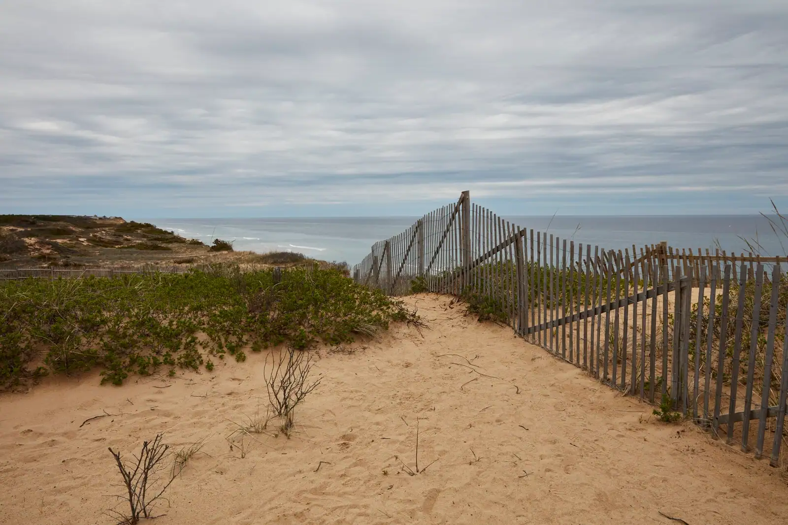
Wellfleet is the Outer Cape town that got lucky with its boundaries. Roughly seventy per cent of it is protected, nearly half of that inside the Cape Cod National Seashore, and the practical consequence is a town of about 3,600 year-round residents with an unreasonable amount of shoreline and almost no development behind it. Drive Route 6 through here and the houses are set back in the pines, and then a side road drops you at the top of a hundred-foot sand cliff with the Atlantic at the bottom.

The town has two economies and they do not overlap much. One is the oyster. Wellfleet Harbor's tidal flats have produced shellfish since before the town was incorporated in 1763, and the name on a menu is a protected designation of origin in everything but law. Grantholders work the flats at low water in waders, and you can watch them from the town pier doing something that has changed less in three hundred years than anything else on this peninsula. The October OysterFest fills the centre of town for a weekend and is the single busiest thing that happens here.

The other economy is art. Wellfleet has the second highest concentration of galleries on the Cape, clustered along Main Street and Commercial Street, and the Saturday evening openings in summer are a genuine social fixture rather than a marketing event. Painters have been coming since the same era that built Provincetown's colony, without the scale.

Then there are the pieces that belong to nobody else. The Marconi Station site, where the first transatlantic wireless message from the United States went out on 18 January 1903 from Theodore Roosevelt to King Edward VII, now an eroding bluff with a scale model and interpretive panels. The Wellfleet Drive-In on Route 6, one of the last operating drive-in cinemas in New England. Mass Audubon's Wellfleet Bay Wildlife Sanctuary with its trail out across the marsh. And, a few miles off this shore under the sand, the pirate ship Whydah, wrecked in 1717 and found in 1984.

In February, much of Main Street is shut. That is the deal.

Getting there and parking

Route 6 is the only through road on the Outer Cape and it runs the length of Wellfleet. From the Sagamore Bridge allow about an hour and three quarters with clear roads; from Provincetown it is roughly half an hour back south.

The town centre is not on Route 6. Turn off at Main Street towards the harbour and the galleries, which is a mile or so of side road that most through traffic never takes.

The ocean beaches each have their own access road off Route 6, and each ends in a small lot at the top of the cliff. Marconi Beach and the Marconi Station site are separate turnings from the same stretch of highway, which confuses people every summer.

By bike, the Cape Cod Rail Trail ends in Wellfleet at LeCount Hollow Road, which puts you within reach of Newcomb Hollow and White Crest on quiet roads. The Cape Cod Regional Transit Authority runs a seasonal Outer Cape bus along Route 6; check the current timetable.

Three sorts of water within four miles

Wellfleet is the clearest demonstration on the Cape that the coast you pick matters more than the town you pick.

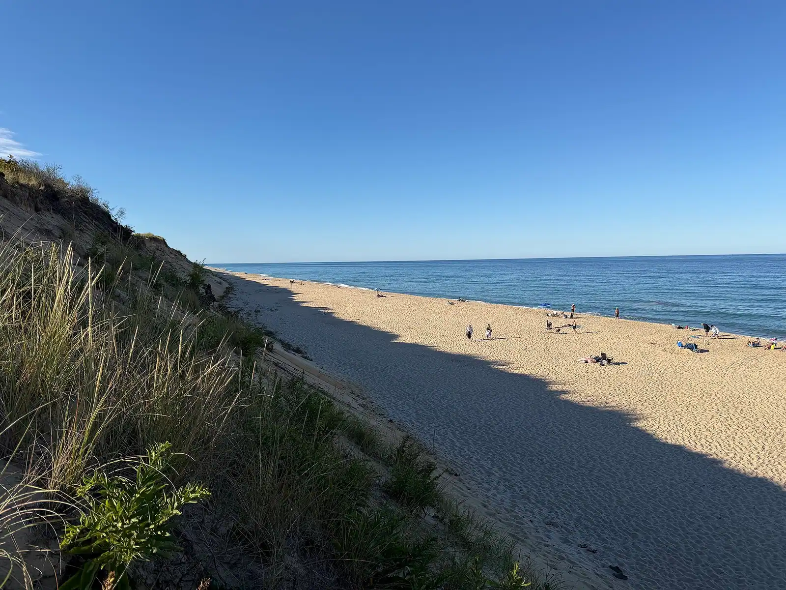
The ocean beaches. Marconi, White Crest, Cahoon Hollow and Newcomb Hollow sit at the foot of tall sand cliffs on the Atlantic. Cold water, real surf, strong currents, and the purple shark advisory flag flying as a standing notice. White Crest is the surfing beach. Cahoon Hollow has the Beachcomber, a bar and music venue in an 1897 life-saving station at the top of the cliff, which is the only place on the Outer Cape where the beach and the night out are the same address. Marconi is a National Seashore beach and takes the federal pass; the others are town beaches on town stickers.

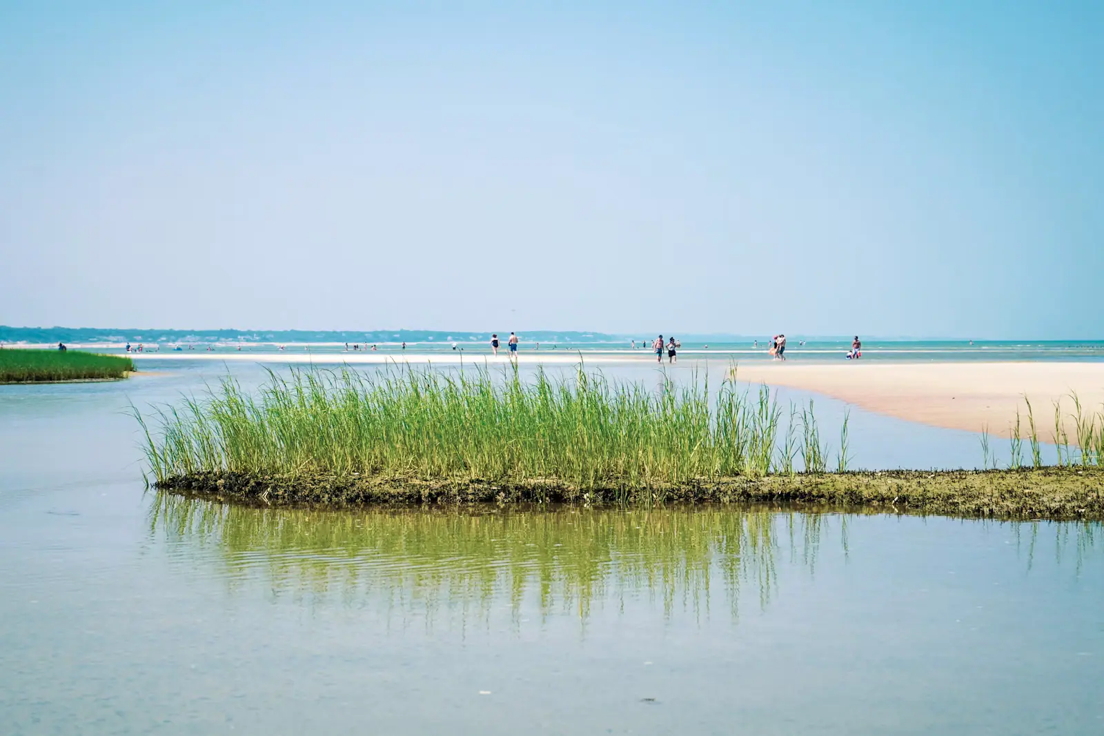
The harbour and bay side. Mayo Beach and the harbour front are shallow, warm, and calm enough for very small children. At low water the flats go out a long way and the shellfishing grantholders come out with them.

The kettle ponds. Gull, Long and Great Ponds are freshwater, spring-fed, warmer than the ocean by a wide margin and connected to each other by short carries that people paddle in sequence. For families this is often the better swim than either coast, and it is the one nobody thinks of.

Stairs are the hidden cost of the ocean beaches. Every one of them involves a long descent and a longer climb back, carrying everything.
The oyster, and how to actually eat one here

A Wellfleet oyster is a specific animal from a specific set of tidal flats, and the reason it tastes the way it does is the water: a strong tidal exchange in a shallow harbour, cold for most of the year, with a salinity that produces a firm, briny, clean-finishing oyster rather than a soft sweet one.

The flats are worked under town grants. At low tide the harbour is a field of stakes and figures in waders, and the town pier is the place to stand and watch it happen. Shellfishing is not a photo opportunity arranged for visitors; it is several dozen people's livelihood, so stay off the grants.

Recreational shellfishing is possible with a town permit, and the rules on species, size, season and area are specific and enforced. Buy the permit from the town and read the current regulations rather than following someone else's memory of them.

For eating, the harbour-front restaurants and the shacks are the obvious route, and in summer they are busy from six. The other option is the fish market, a dozen oysters, a knife and a picnic table, which costs a fraction and is how residents do it.

OysterFest, run by the local shellfish promotion organisation in October, takes over the centre of town for a weekend with shucking competitions and a crowd that multiplies the town's population several times. If you want Wellfleet quiet, that is the weekend not to come.

Marconi Station and the bluff that is disappearing

On a heath above the Atlantic in South Wellfleet, four 210-foot wooden towers once carried the aerial for Guglielmo Marconi's transatlantic wireless station. On 18 January 1903 it carried a message from President Theodore Roosevelt to King Edward VII, the first transatlantic wireless transmission sent from the United States.

There is almost nothing left. A scale model, interpretive panels, the concrete anchor blocks for the guy wires, and a boardwalk out to a viewing platform on the edge of the bluff. The station was dismantled in 1920, and since then the sea has taken a large part of the ground it stood on. The National Park Service has moved the overlook back more than once.

That is the point of the visit, and it is a better one than a preserved building would be. You are standing on a headland actively losing itself, looking at the spot where a technology that shrank the Atlantic was proved, on the exact stretch of coast that had been killing ships and crews for two centuries.

A short trail from the same car park runs through the Atlantic White Cedar Swamp, a boardwalk dropping into a cool, dark, wet hollow that feels nothing like the heath above it. About a mile round, and one of the best short walks in the National Seashore.

Marconi Beach is the National Seashore beach immediately south, on a separate access road, and takes the federal entrance fee or pass.

Parking, stickers and the winter shutdown

  • Town beach parking needs a Wellfleet sticker in season, sold by the town for varying periods to non-residents. Prices and categories change annually; check the town's current schedule.
  • Marconi Beach is federal, not town, and takes the National Seashore entrance fee or an annual pass. The park does not accept cash at beach entrances.
  • Cahoon Hollow, White Crest and Newcomb Hollow lots are small and fill early on a hot July day, often by mid-morning.
  • The town pier car park is the free-ish option for the harbour front and the galleries, and it turns over.
  • The Cape Cod Rail Trail's northern end is here, at LeCount Hollow Road, which makes Wellfleet the natural place to finish a ride.
  • Winter is real. A large share of Main Street closes between Columbus Day and Memorial Day, some of it reopening only at weekends. The drive-in operates seasonally. Ring ahead in the off season rather than driving ninety minutes on faith.
  • There is no supermarket-scale shopping. Stock up in Orleans or Eastham if you are self-catering.

Near Wellfleet

Straight-line distances, so allow more on the road — the island is long and has one main parkway.

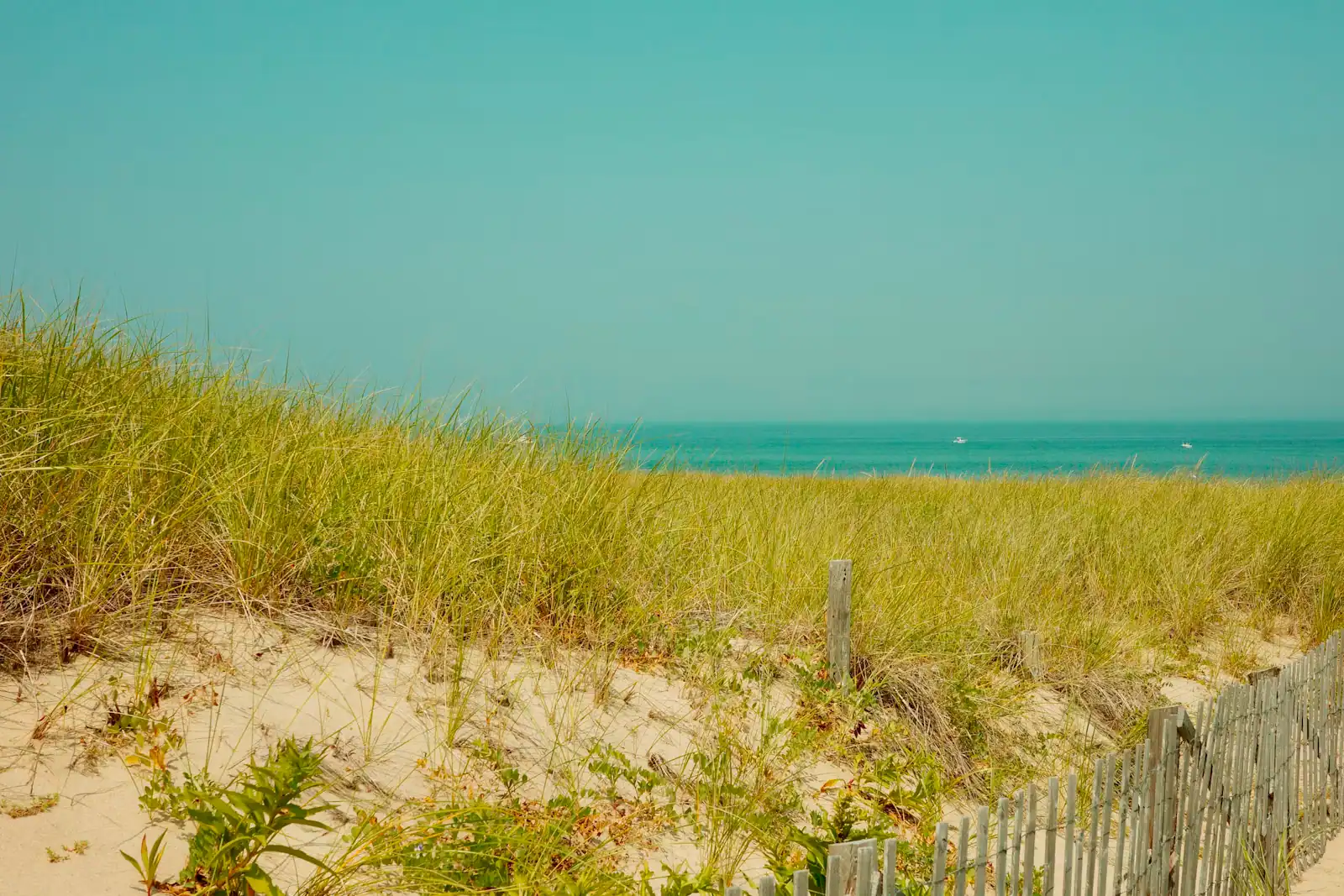
  • A weathered slat fence running along the edge of a grassy dune above a Cape Cod beach

    Beach

    Marconi Beach

    A high sand scarp, a long staircase, and the bluff the first transatlantic wireless message left the United States from in January 1903.

    2.5–5.5 hoursNational Seashore fee: $25 per vehicle per day. The Marconi Station overlook is free.4.9 mi away

  • A sandy footpath lined with beach grass dropping down toward the shore on Cape Cod

    Neighbourhood

    Free

    Truro

    Two and a half thousand residents, no commercial centre, and the narrowest, emptiest stretch of the whole peninsula.

    2–7 hoursFree to visit. Town beaches need a Truro sticker in season; Head of the Meadow takes the federal fee.4.2 mi away

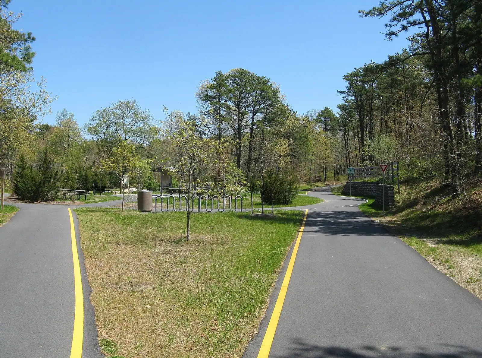
  • A paved pathway running between green grass under an overcast sky

    Trail

    Free

    Cape Cod Rail Trail

    Twenty-five and a half paved miles on an old railbed through seven towns, and the way to reach a beach in August without parking.

    1.5–6 hoursFree to use. Some trailhead car parks charge or require a town sticker.12.5 mi away

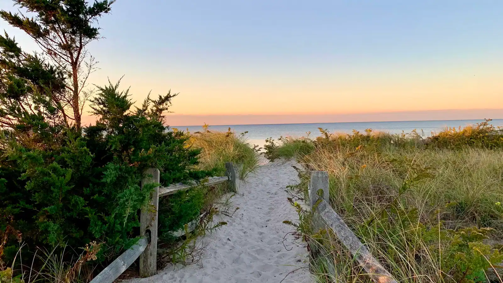
  • A sand path cut through beach grass opening onto the open Atlantic on Cape Cod's outer shore

    Park

    Cape Cod National Seashore

    Forty miles of protected Atlantic shore, six guarded ocean beaches, and one $25 vehicle fee that covers every one of them for the same day.

    3–8 hours$25 per private vehicle per day, valid at all six park beaches. $60 annual park pass.7.7 mi away

Wellfleet: common questions

What is Wellfleet known for?

Oysters first. Wellfleet Harbor's tidal flats produce an oyster with a firm texture and a clean briny finish that carries the town's name on menus across the country, and the flats are still worked by hand under town grants at low water. After that: an unusually dense cluster of art galleries for a town of 3,600 people, the Marconi wireless station site, one of New England's last drive-in cinemas, and ocean beaches at the foot of hundred-foot sand cliffs.

Can you swim in Wellfleet?

In three quite different places. The Atlantic beaches are cold, have real surf and strong currents, and fly the standing purple shark advisory flag. The harbour and Mayo Beach are shallow, calm and much warmer, which suits small children. The freshwater kettle ponds, Gull, Long and Great, are spring-fed, considerably warmer than the ocean and the swim most visitors overlook. For a family afternoon the ponds are usually the better answer.

When is Wellfleet OysterFest?

It is held in October, run by the local shellfish promotion organisation, and takes over the centre of town for a weekend with shucking competitions, food and a crowd several times the town's year-round population of about 3,600. The exact dates are set each year, so check the organiser's current announcement before booking accommodation. Rooms across the Outer Cape fill for that weekend, and it is the one weekend when Wellfleet is not quiet.

Do you need a beach sticker in Wellfleet?

For the town beaches, yes, in season. Wellfleet sells non-resident stickers for varying periods and the categories and prices change most years, so check the town's current schedule rather than a second-hand figure. Marconi Beach is different: it is a National Seashore beach and takes the federal entrance fee or an annual park pass instead, and the Seashore does not accept cash at its beach entrances.

How far is Wellfleet from Provincetown?

About sixteen miles up Route 6, which is roughly half an hour in normal conditions. Route 6 is the only through road on the Outer Cape, so that figure stretches on summer afternoons and particularly when Provincetown empties out at the end of a day. Many visitors base themselves in Wellfleet precisely because it is close enough for a Provincetown evening and far enough to sleep somewhere quiet.