Skip to content
Search
Menu

Bookings here go through Viator, who pay us a commission. You are charged the same either way, and the commission had no say in this list.

Neighbourhood

Truro

Last updated

Two and a half thousand residents, no commercial centre, and the narrowest, emptiest stretch of the whole peninsula.

Photo: Carol M. HighsmithPublic domain

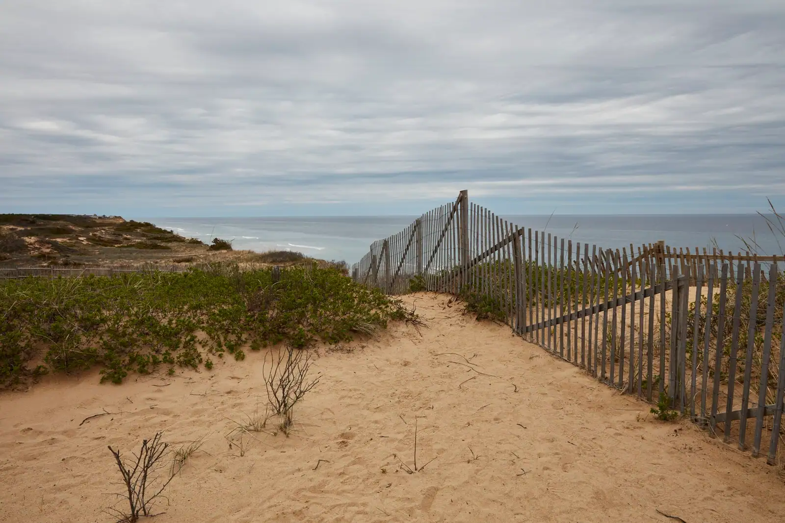
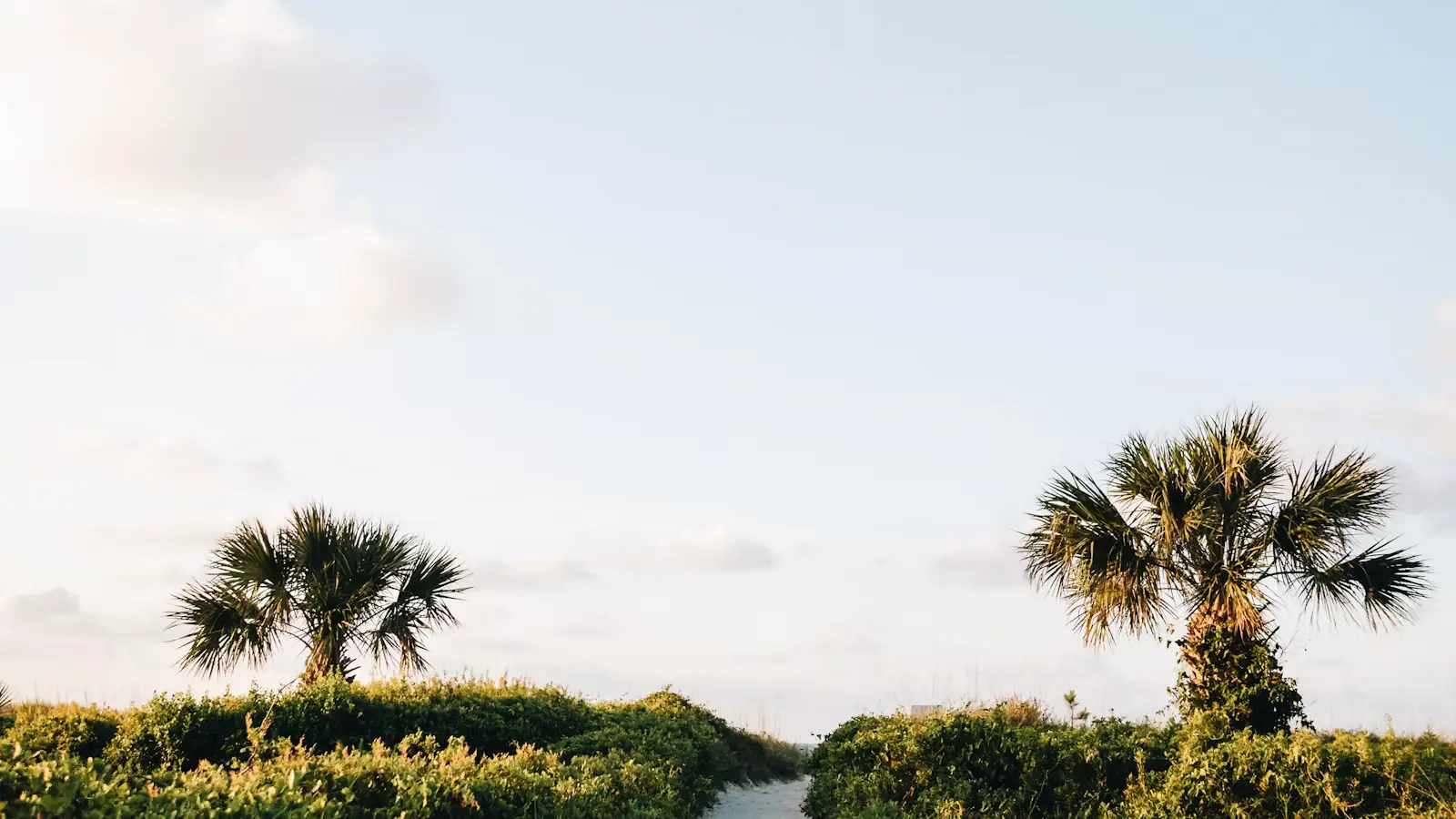
Between Wellfleet and Provincetown the Cape narrows to a strip, in places barely more than a mile from the Atlantic to the bay, and that strip is Truro. It has 2,454 year-round residents and no downtown. There is a post office, a small cluster at Truro Center by the Pamet River, another at North Truro, and otherwise hills, moor, pine, dune and a great deal of federal land. More than half the town's area sits inside the Cape Cod National Seashore.

This is either the best or the worst place on the Cape to stay, depending entirely on what you came for. If you want to walk out of a rental and buy a coffee, it is the worst. If you want the emptiest ocean beaches in Massachusetts and a sky with nothing in it, there is nowhere better.

The landscape here is unlike the rest of the peninsula. Truro's interior rolls. The glacial outwash has been carved into steep hollows and hills by wind and by the Pamet, a tidal river cutting almost the full width of the Cape from the bay side. Walk the Pamet valley trails and you are in a wet, green, enclosed landscape that could not look less like a dune. Ten minutes later you are on top of a bluff with the Atlantic two hundred feet below.

The Wampanoag called this ground Pamet, or Payomet, and it is where the Mayflower party first came ashore in November 1620, before they went on to Plymouth. At Corn Hill they dug up a cache of stored seed corn, which is why the hill is called that and why the story is more complicated than the version most Americans were taught.

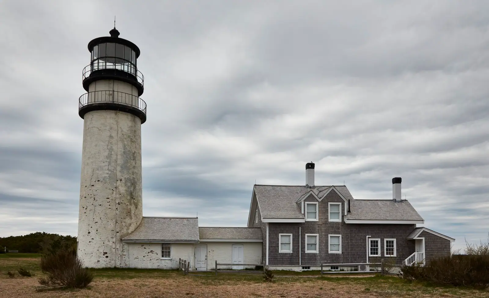
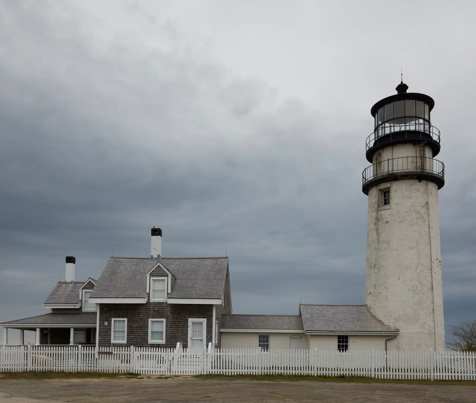
Two things dominate the skyline. Highland Light, the oldest and tallest lighthouse on the Cape, and the radar tower on the old North Truro Air Force Station, now part of the Seashore. Beyond that, there is very little built. That is the entire proposition.
Getting there and parking

Route 6 runs the length of Truro and is the only through road. From the Sagamore Bridge allow roughly two hours with clear roads. From Provincetown it is ten to fifteen minutes south; from Wellfleet, about fifteen minutes north.

Route 6A branches off through North Truro along the bay, which is the slower and considerably prettier way to approach Provincetown and passes Truro Vineyards.

Highland Light is signed off Route 6 at South Highland Road. Head of the Meadow Beach has its own road off Route 6 in North Truro. The town beaches are all down narrow dead-end lanes that end in very small car parks, and several of them have no turning space worth the name.

The Cape Cod Regional Transit Authority runs a seasonal Outer Cape service along Route 6 between Provincetown and the Lower Cape; check the current timetable. There is no rail service and no scheduled ferry to Truro.

A bicycle is a good way to explore the Pamet valley and the bay road, but Route 6 through Truro carries fast traffic with an inconsistent shoulder.

Highland Light, and the summer they moved it

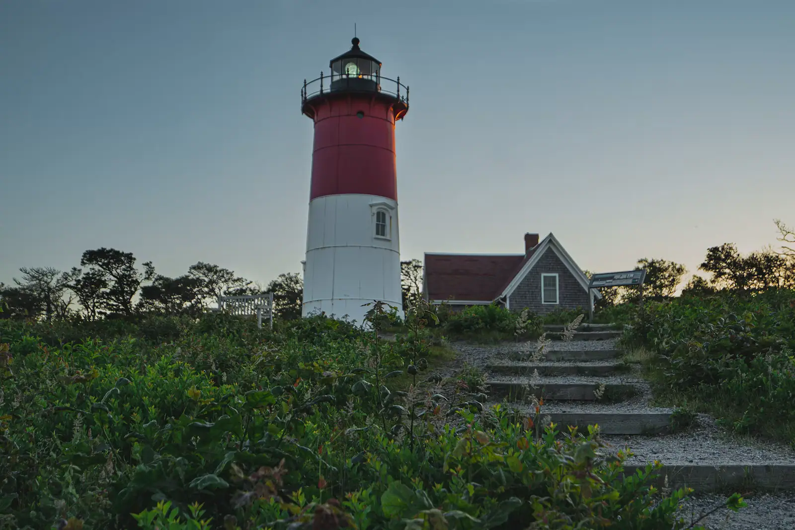
A light has stood on this bluff since 1797, making it the first on Cape Cod. The tower you see now is the 1857 brick one, 66 feet tall and the tallest on the peninsula, standing on ground about 120 feet above the Atlantic.

In July 1996 the entire thing was moved 450 feet west, over eighteen days, because the cliff it stood on had eroded to within a hundred feet of the foundation. Watching a 430-ton brick lighthouse travel across a golf course at a few feet an hour is one of the stranger things this town has done, and the move is commemorated at the site.

The cliff has kept coming. This is the most exposed stretch of the Atlantic shore on the Cape, and its retreat is measured in feet per year rather than inches.

The light stands beside Highland Links, a nine-hole course laid out in 1892 that is among the oldest in the United States, on ground that looks more like Scottish links than New England golf because it is open, treeless and windblown. You do not need to play it to walk past it.

Tower climbs and the small museum in the adjoining keeper's house operate seasonally, and there is usually a minimum height requirement for the climb. Check current opening and any age or height limits before you promise a child the top.

The emptiest beaches on the Cape, and what they cost

Head of the Meadow is the National Seashore beach here, taking the federal entrance fee or an annual pass, with a car park at the end of its own road and nothing behind it. It is quieter than the Eastham and Provincetown Seashore beaches simply because fewer people drive this far for the day.

Ballston, Longnook, Coast Guard and Corn Hill are town beaches, requiring a Truro parking sticker in season. Longnook in particular is reached down a steep hollow and then a steep descent, and it is spectacular and unforgiving. The lots are tiny.

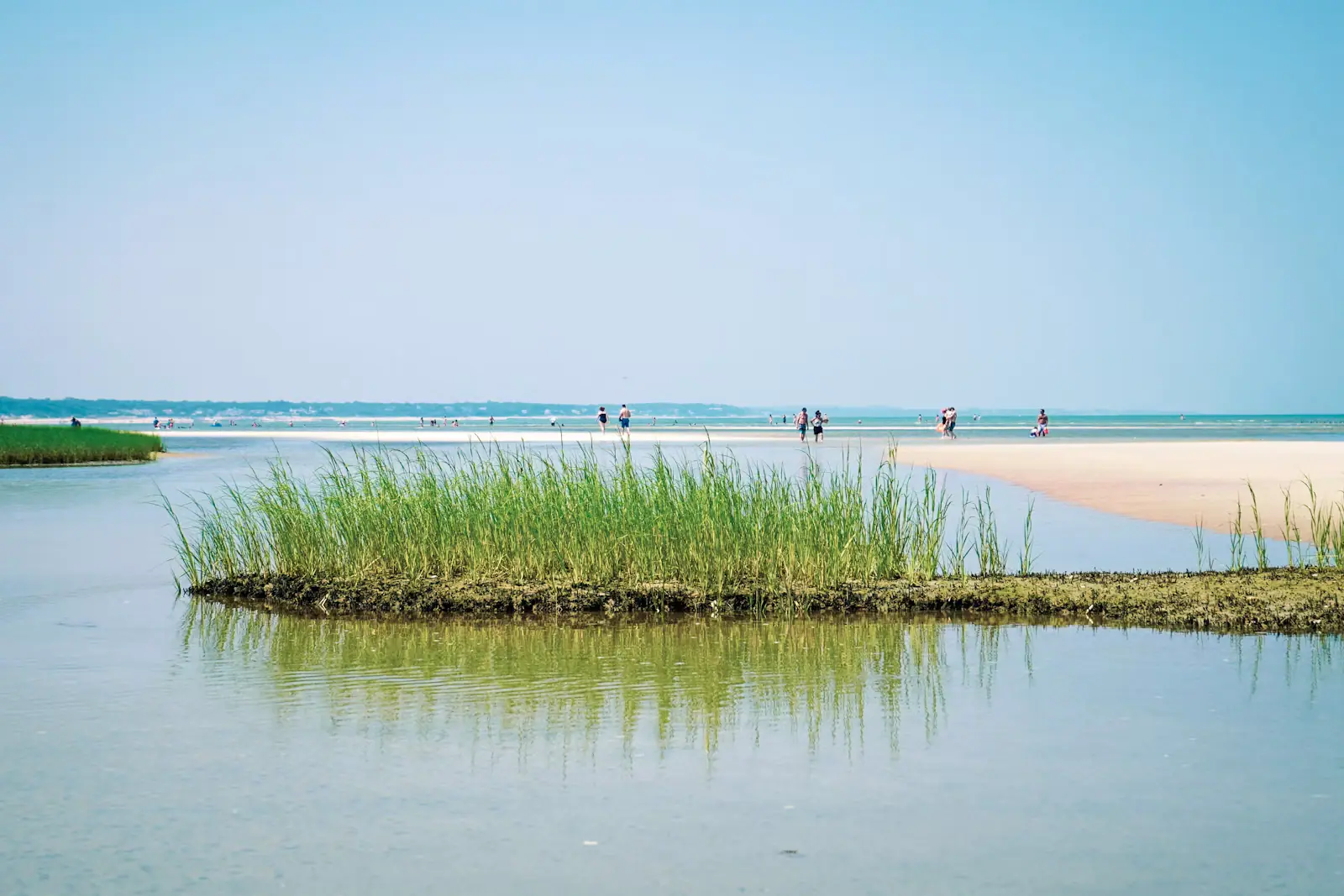
The bay side at Corn Hill and Fisher Beach is shallow, warm and tidal, with flats at low water and sunsets over Cape Cod Bay. This is where families with young children actually go.

Cold water is not a figure of speech here. The Atlantic off Truro sits well below what visitors from anywhere south of New Jersey expect in July, and it can be fifteen degrees colder than the bay side on the same afternoon.

Sharks. The purple advisory flag flies on the Atlantic beaches as a standing notice. Truro and Wellfleet waters account for the documented bites on this coast since 2012, one of them fatal in 2018. Swim close to shore, at lifeguarded beaches, and get out immediately when a lifeguard clears the water.

The dune shacks on the Truro and Provincetown line are National Seashore property, historic, occupied under permit, and not open to visitors. Look, do not approach.

There is almost nowhere to buy anything

This is the practical fact that decides whether a Truro stay works.

Truro has no supermarket, no shopping street and a very small number of restaurants, several of which operate on a short season and limited days. Truro Center has a general store and a handful of businesses. North Truro has a little more. That is the whole commercial inventory of the town.

Plan around it. Wellfleet is fifteen minutes south for a fish market and a small grocery; Provincetown is ten to fifteen minutes north for everything else and for dinner; Orleans, about half an hour south, has the nearest full-size supermarket on the Outer Cape.

Out of season, assume less rather than more. Between Columbus Day and Memorial Day a rental in Truro is genuinely remote, which for some people is the reason to book it.

Two things do run here. Truro Vineyards, on Route 6A in North Truro, has a tasting room and grounds that operate seasonally and are the closest thing the town has to a gathering place. And Payomet Performing Arts puts on a tent season at the old Air Force station site through the summer, which is a better night out than a town this size has any business having.

Mobile signal is patchy in the hollows. Download your maps before you leave the main road.

Near Truro

Straight-line distances, so allow more on the road — the island is long and has one main parkway.

  • A lighthouse rising above a low building at the water's edge

    Landmark

    Free

    Highland Light

    The Cape's first lighthouse, established 1797 on Truro's highest bluff and hauled 450 feet inland over eighteen days in July 1996.

    1–2.5 hoursGrounds and car park free. A small charge applies to climb the tower when it is open.3 mi away

  • A long empty beach of pale sand backed by low dune vegetation with no buildings in sight

    Beach

    Head of the Meadow Beach

    The least crowded of the six park beaches, with a Truro town lot next door on a different payment system and an 1872 wreck in the sand.

    2–5 hoursNational Seashore lot: $25 per vehicle per day. The adjacent Truro town lot charges separately.3.4 mi away

  • A sand path cut through beach grass opening onto the open Atlantic on Cape Cod's outer shore

    Neighbourhood

    Free

    Wellfleet

    Around seventy per cent of this Outer Cape town is protected land, which is why the ocean beaches feel like nobody told anyone about them.

    3–8 hoursFree to visit. Town beaches need a Wellfleet sticker in season; Marconi Beach takes the federal fee.4.2 mi away

  • The granite tower of the Pilgrim Monument rising above Provincetown's rooftops beside the harbour

    Neighbourhood

    Free

    Provincetown

    Three thousand people in winter and sixty thousand in August: a fishing port, an art colony since the 1890s, and unlike anywhere else.

    4–12 hoursFree to visit. Parking, ferries, the monument and tours are charged separately.7.9 mi away

Truro: common questions

Is Truro a good place to stay on Cape Cod?

It depends entirely on what you want. Truro has 2,454 year-round residents, no downtown, no supermarket and a handful of restaurants on short seasons, so it is the wrong base if you want to walk out and buy a coffee. It is the right base if you want the emptiest ocean beaches in Massachusetts, a rolling inland landscape unlike anywhere else on the Cape, and Provincetown ten to fifteen minutes up the road for dinner.

Can you climb Highland Light in Truro?

Seasonally, yes. The 1857 tower is 66 feet tall and the oldest and tallest lighthouse on Cape Cod, and tower climbs run on a seasonal schedule alongside a small museum in the adjoining keeper's house. There is normally a minimum height requirement for the climb, so check current arrangements before promising a child the top. The tower was moved 450 feet inland over eighteen days in July 1996 to escape the retreating cliff.

Where do you buy food in Truro?

Mostly somewhere else. Truro Center has a general store and North Truro has a small cluster of businesses, and that is close to the entire commercial inventory of the town. For a fish market and a small grocery, Wellfleet is about fifteen minutes south. For restaurants and full shopping, Provincetown is ten to fifteen minutes north. The nearest full-size supermarket on the Outer Cape is in Orleans, roughly half an hour away.

Are Truro beaches safe to swim at?

They are ocean beaches on the most exposed shore of the Cape, which means cold water, real surf and currents. Truro and Wellfleet waters account for the documented white shark bites on this coast since 2012, one of them fatal in 2018, and the purple advisory flag flies as a standing notice rather than a same-day alarm. Swim at lifeguarded beaches, stay close to shore and in shallow water, and leave the water immediately if a lifeguard clears it.

How narrow is Cape Cod at Truro?

At its narrowest points in Truro the peninsula is barely more than a mile from the Atlantic to Cape Cod Bay, which is why you can stand on a bluff two hundred feet above the ocean and reach warm, shallow bay water a few minutes later. That compression is the town's most useful feature for visitors: the cold surf beach and the toddler-friendly tidal flat are genuinely the same afternoon rather than two different days.