Skip to content
Search
Menu

Bookings here go through Viator, who pay us a commission. You are charged the same either way, and the commission had no say in this list.

Plan your trip

Getting Around Cape Cod

Last updated

Getting around Cape Cod: why the Bourne and Sagamore bridges decide every journey, which of the three roads to take, beach parking rules and car-free options.

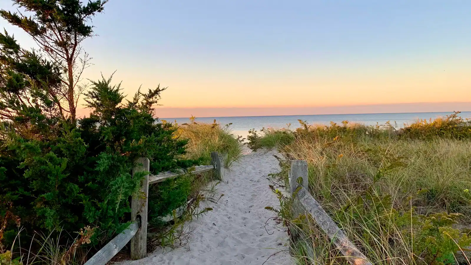
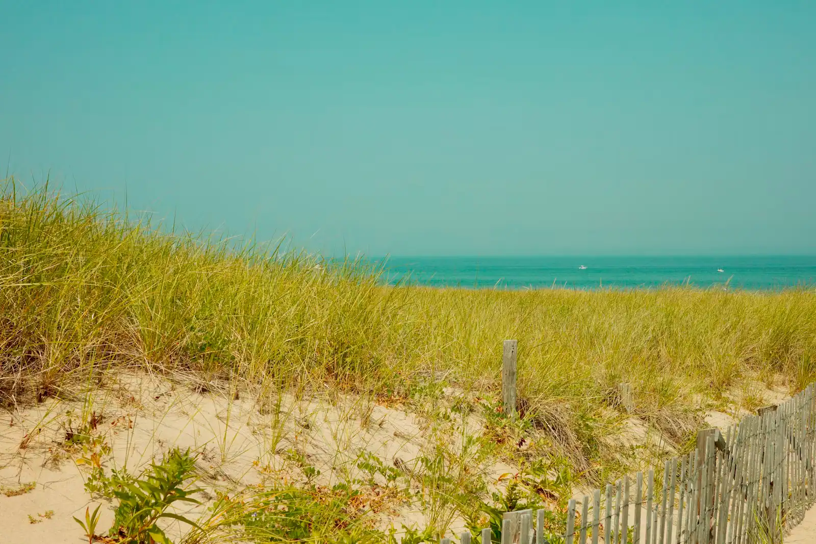
A sandy footpath lined with beach grass dropping down toward the shore on Cape CodUnsplash

Cape Cod is an island that pretends not to be one. The Cape Cod Canal severed the peninsula from the mainland when it opened in 1914, and since 1935 exactly two road bridges have carried everything across it: the Sagamore, which feeds the Mid Cape Highway down the spine, and the Bourne, three miles west, which feeds Route 28 toward Falmouth. Every visitor, every delivery lorry, every tradesman, every ambulance and every supermarket restock uses one of those two 1935 structures. Nothing else about travelling here matters as much.

The consequence is a peninsula where distance has almost no relationship to time. Sixty miles from the Sagamore to Provincetown is an hour and a quarter on a Tuesday in April. The same sixty miles on a Friday afternoon in July can be two and a half hours or worse, and most of the loss happens in the first five of them. Locals do not plan around mileage. They plan around whether they will be at the canal before nine in the morning or after seven at night, and they treat the middle of a summer Friday as unusable.

Both bridges are now funded for replacement, and the numbers are large: about $2.4 billion in total, with federal environmental approval issued in June 2026. The Sagamore goes first, with construction not expected to begin before the winter of 2027 and traffic not moving onto a new span until the early 2030s. Read that as a plan rather than a promise — the schedule has already slipped more than once — and read it as a warning that the next several Cape summers will involve either the old bridges or a construction zone beside them.

Once you are across, three roads run the length of the Cape and choosing between them is the second decision of any journey. US-6 is the fast one, though it stops being a dual carriageway at Dennis and runs one lane each way from Orleans to the tip, which is why a single incident on the Outer Cape stops the whole peninsula. Route 6A along the bay shore is the old King's Highway, slow and genuinely beautiful. Route 28 along the south shore is the commercial strip: useful, ugly and congested through the Mid Cape.

Then there is parking, which on this peninsula is two entirely separate systems that visitors routinely confuse, and which decides whether you get onto the beach you drove to at all.

The rest of this page covers all of that, plus what a Cape trip looks like if you decide not to bring a car — which, for one specific town, is the better holiday.

Two parking systems, and the one that will turn you away

What it costs

This is the most common and most expensive misunderstanding on the Cape.

Town beaches are run by fifteen individual towns. Almost all sell a seasonal sticker to residents and to people renting in that town, and some lots are sticker-only in July and August, meaning an attendant will turn you away regardless of what you offer to pay. The rules are set town by town and revised annually. Ask your rental manager not whether there is parking but whether the property comes with a beach sticker, and for which town. A Brewster sticker gets you nothing at an Orleans gate.

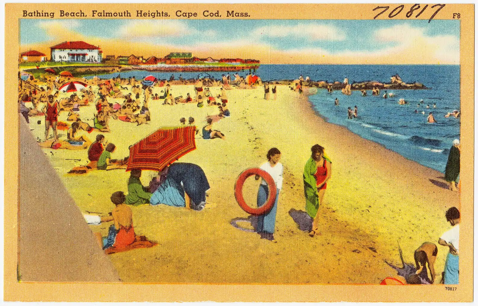
National Seashore beaches run on a federal fee that anyone can pay. At the time of writing: $25 per private vehicle per day, $15 per person arriving on foot or by bicycle aged sixteen and over, and $60 for an annual pass, with America the Beautiful passes accepted. It applies seasonally at Coast Guard, Nauset Light, Marconi, Head of the Meadow, Race Point and Herring Cove. Cards only — the park does not take cash — and passes are sold at the beach entrances rather than at visitor centres.

What actually limits you at the Seashore is space rather than money. These lots close when full, which on a clear July day means the middle of the morning. Coast Guard Beach in Eastham does not allow general parking at the sand in season at all: you park at a remote lot and ride a shuttle down.

Provincetown is a category of its own. Parking in season is scarce and expensive, the municipal lot at MacMillan Pier fills early, and the residential streets are permit-controlled. This is the strongest argument on the Cape for arriving by ferry or leaving the car at your accommodation and taking the shuttle.

Verify every figure above at the gate. Both systems adjust their rates.

Doing the Cape without a car

A weathered slat fence running along the edge of a grassy dune above a Cape Cod beachUnsplash
A weathered slat fence running along the edge of a grassy dune above a Cape Cod beach

Possible in one place, workable in a second, and a struggle everywhere else.

Provincetown is genuinely car-free-able, and arguably better that way. Seasonal fast ferries cross Massachusetts Bay from Boston to MacMillan Pier in about ninety minutes, landing you in the middle of Commercial Street with the whale boats, the shuttle stop and the bike shops within a few minutes' walk. The Cape Cod Regional Transit Authority runs a seasonal shuttle out to Herring Cove and Race Point, so the National Seashore beaches are reachable without driving. Given how difficult and expensive parking is at the tip, a car here is closer to a liability.

Hyannis works too, at a lower level. Ferries to both islands leave from the harbour, the CCRTA's Sealine runs west to Falmouth and the H2O Line east toward Orleans, and a seasonal weekend train from Boston has served the town in recent years, crossing the canal on the railroad lift bridge and carrying bicycles. Check whether it is running rather than assuming.

Everywhere else, be realistic. CCRTA fixed routes are built around residents and workers, not around a nine o'clock boat departure from a village. Frequencies are modest, several routes shrink or stop outside the season, and a dial-a-ride Flex service covers the thinner towns. Fares are low. It is better than its reputation and it is not a substitute for a car if you are based in Truro with children.

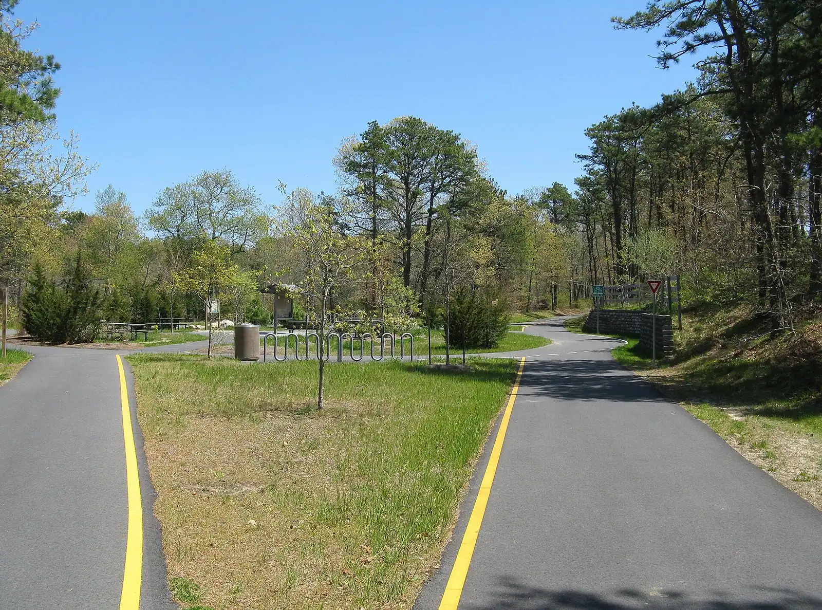
Bicycles are transport here, not just recreation. The Rail Trail connects seven towns on a flat paved surface, the Shining Sea Bikeway links Falmouth and Woods Hole, and the canal service roads run seven car-free miles along each bank. A cottage within a mile of the Rail Trail changes what a car-light week looks like.

Rideshare is easy in Provincetown and Hyannis and unreliable in the small towns, particularly early in the morning. Pre-book a local car service for an airport run or a first boat.

Arriving: airports, ferries and the drive down

Boston Logan is where almost everyone flies in, and the drive is the thing people underestimate. It is around sixty miles to the Sagamore Bridge, which is ninety minutes in April and can be three hours on a summer Friday because the whole of eastern Massachusetts funnels into the same two crossings. Provincetown is another hour and a half beyond the bridge. Book the rental car well ahead for July and August, when Cape demand empties the Boston fleet.

Providence is the underrated alternative, about seventy miles out via I-195 with an approach that crosses at the Bourne and avoids Boston traffic entirely. Smaller terminal, shorter queues, easier late bookings. Fewer direct flights, so it only helps if your home airport serves it.

Cape Cod Gateway Airport in Hyannis is the only field on the Cape with scheduled service worth planning around, and in practice that means short hops to Nantucket and Martha's Vineyard plus seasonal mainland routes that come and go. Treat it as a way to reach the islands without a ferry queue rather than a way to reach the Cape.

Provincetown Municipal is a single strip in the dunes served by short Cape Air flights from Boston. The flight runs the length of the hook at low altitude and is worth it for the view. Small aircraft, small bags, and fog cancels flights here more often than anywhere else on the Cape.

By sea, the Boston fast ferry to Provincetown is the one arrival that skips the bridges completely. Island ferries run the other way: Woods Hole to Martha's Vineyard in about forty-five minutes year-round, Hyannis to Nantucket in roughly an hour on the fast boat or about two and a quarter on the traditional one. Only the Steamship Authority carries cars, and summer vehicle space books months ahead at several times the passenger fare. Parking at Woods Hole is remote-lot-and-shuttle, so add half an hour to your plan.

When to move, and what journeys actually take

Local tips

  • Cross the canal before nine in the morning or after seven at night on a summer Friday, Saturday or Sunday. This single habit saves more time than any route choice.
  • Check which bridge is moving before you commit. They are three miles apart and it is common for one to be flowing while the other is stopped.
  • Add an hour to any summer drive that involves the Outer Cape. The one-lane section from Orleans north has no relief valve.
  • Front-load anything that needs a Seashore car park. Lots fill by mid-morning in July and close until somebody leaves.
  • Leave for a ferry far earlier than the crossing time implies. Check-in cut-offs, remote parking and the shuttle at Woods Hole add up to more than the forty-five-minute sailing.
  • Do not trust an old exit number on US-6. The highway was renumbered to milepost-based exits; navigate by town name.
  • Expect fog on the Outer Cape. It forms over cold water with a southwest wind, sits on the road as well as the sea, and slows the drive to Provincetown more than traffic does on some days.
  • Watch for cyclists everywhere on 6A and on the Provincetown approach. These roads have no shoulder and are shared whether the design admits it or not.
  • Rough drive times outside the summer peak: Sagamore to Hyannis around 30 minutes, to Orleans around 50, to Wellfleet around 70, to Provincetown around 85. In July and August, add 50 to 100 per cent and more on a Friday.

The Bourne and the Sagamore: plan around them or lose the day

Before you book

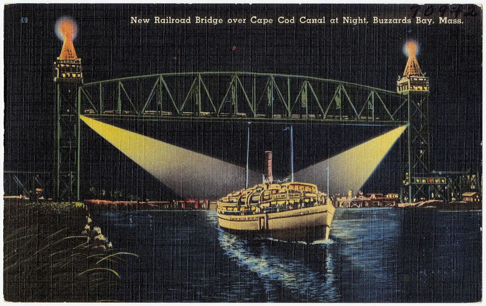
The canal is 7.4 miles long and 480 feet wide, cut through the Cape's shoulder, opened in 1914, bought by the federal government in 1928 and run toll-free by the Army Corps of Engineers ever since. Two highway bridges cross it, both built in 1935, both narrow by modern standards with no breakdown lane worth the name.

The Sagamore carries US-6 and is the eastern crossing, feeding the Mid Cape Highway and taking all the traffic from Boston and everywhere north. It is where the notorious queues form: southbound on summer Friday afternoons, northbound on Sundays, backed up onto the approach highway for miles.

The Bourne carries MA-28 three miles west and delivers you onto the Bourne rotary, then down toward Falmouth and Woods Hole. It is the natural approach from Providence and anywhere west, and it is often the smarter choice even for an Outer Cape trip when the Sagamore is jammed. Checking live traffic before you commit to one is a habit worth forming.

The rotaries are their own adjustment for anyone not used to them. Bourne and Orleans both sit on large traffic circles where the convention is to yield to traffic already in the circle, indicate on exit, and not stop in the middle.

The replacement programme. Funding stands at roughly $2.4 billion, split about $1.72 billion federal and $700 million state. The state's environmental review was certified in April 2026 and the federal Record of Decision followed in June 2026. The Sagamore is scheduled first, with a contract notice to proceed anticipated in late 2027 and construction starting the following winter; a new span is not expected to carry traffic until around 2033, with the Bourne behind it. Treat those dates as the current plan. Before travelling in any year from 2028 onward, check what is actually happening at the canal.

US-6, Route 6A and Route 28: which road, and when

How they compare

They run roughly parallel down the length of the Cape and they are not interchangeable.

RoadWhat it isTake it when
US-6, the Mid Cape HighwayThe spine. Dual carriageway from the Sagamore to Dennis, then one lane each way from Orleans to ProvincetownYou are trying to get somewhere before a boat leaves, or covering the whole length of the Cape
Route 6A, the Old King's HighwayThe bay-side road through Sandwich, Barnstable, Yarmouth Port, Dennis and Brewster. Sea captains' houses, antique shops, marsh views, 25 to 40 mphYou have the time and the drive is the point. Best on the Upper and Mid Cape
Route 28The south-shore road through Falmouth, Hyannis, Dennisport, Harwich Port and on to ChathamYou are going to the Sound beaches, the ferries or the shops. Slow through Hyannis

Two things to understand about US-6. The undivided section north of Orleans is the Cape's structural weak point: one lane each way, a steady stream of traffic, and no alternative route, so any crash or breakdown backs the Outer Cape up for hours. And the exits were renumbered to milepost-based numbering in recent years, so an older satnav or a printed guide may give you an exit number that no longer exists. Navigate by place name.

Route 6A rewards the detour more than almost any scenic road in New England, but be realistic: it is a working village street with parked cars, cyclists and no shoulder. It is not a shortcut and should never be treated as one.

For the last stretch to Provincetown, Route 6A rejoins as a local road through Truro and the views open out onto the dunes and the bay on both sides. In good weather it is worth the extra fifteen minutes.

On the ground

Where to go

Every place below has its own page — hours, parking, what it costs and what to expect when you get there.

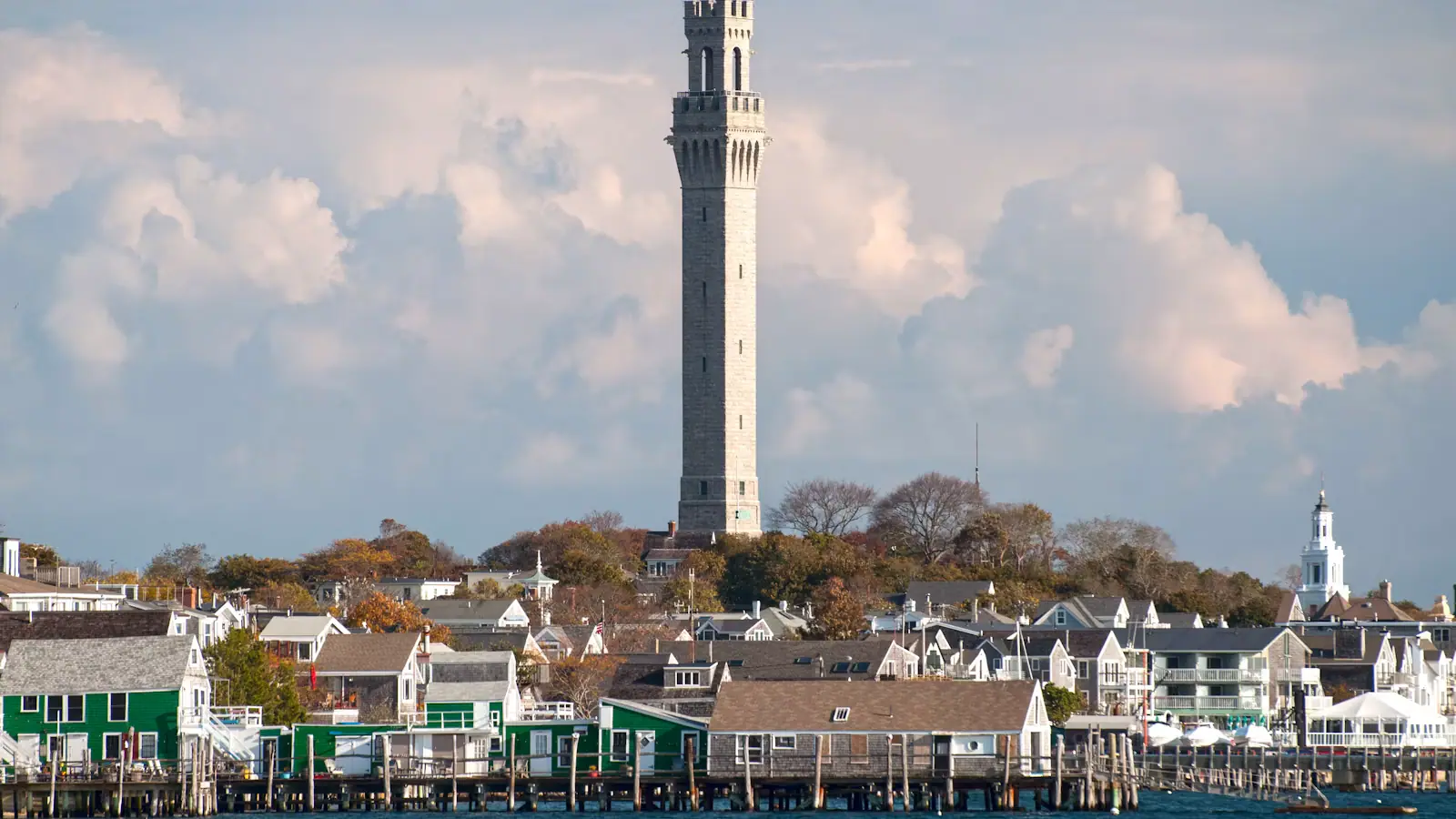
  • The granite tower of the Pilgrim Monument rising above Provincetown's rooftops beside the harbour

    Neighbourhood

    Free

    Provincetown

    Three thousand people in winter and sixty thousand in August: a fishing port, an art colony since the 1890s, and unlike anywhere else.

    4–12 hoursFree to visit. Parking, ferries, the monument and tours are charged separately.

  • A paved pathway running between green grass under an overcast sky

    Trail

    Free

    Cape Cod Rail Trail

    Twenty-five and a half paved miles on an old railbed through seven towns, and the way to reach a beach in August without parking.

    1.5–6 hoursFree to use. Some trailhead car parks charge or require a town sticker.

  • Fishing and excursion boats tied along a pier in Provincetown Harbor with the town behind them

    Marina

    Free

    MacMillan Pier

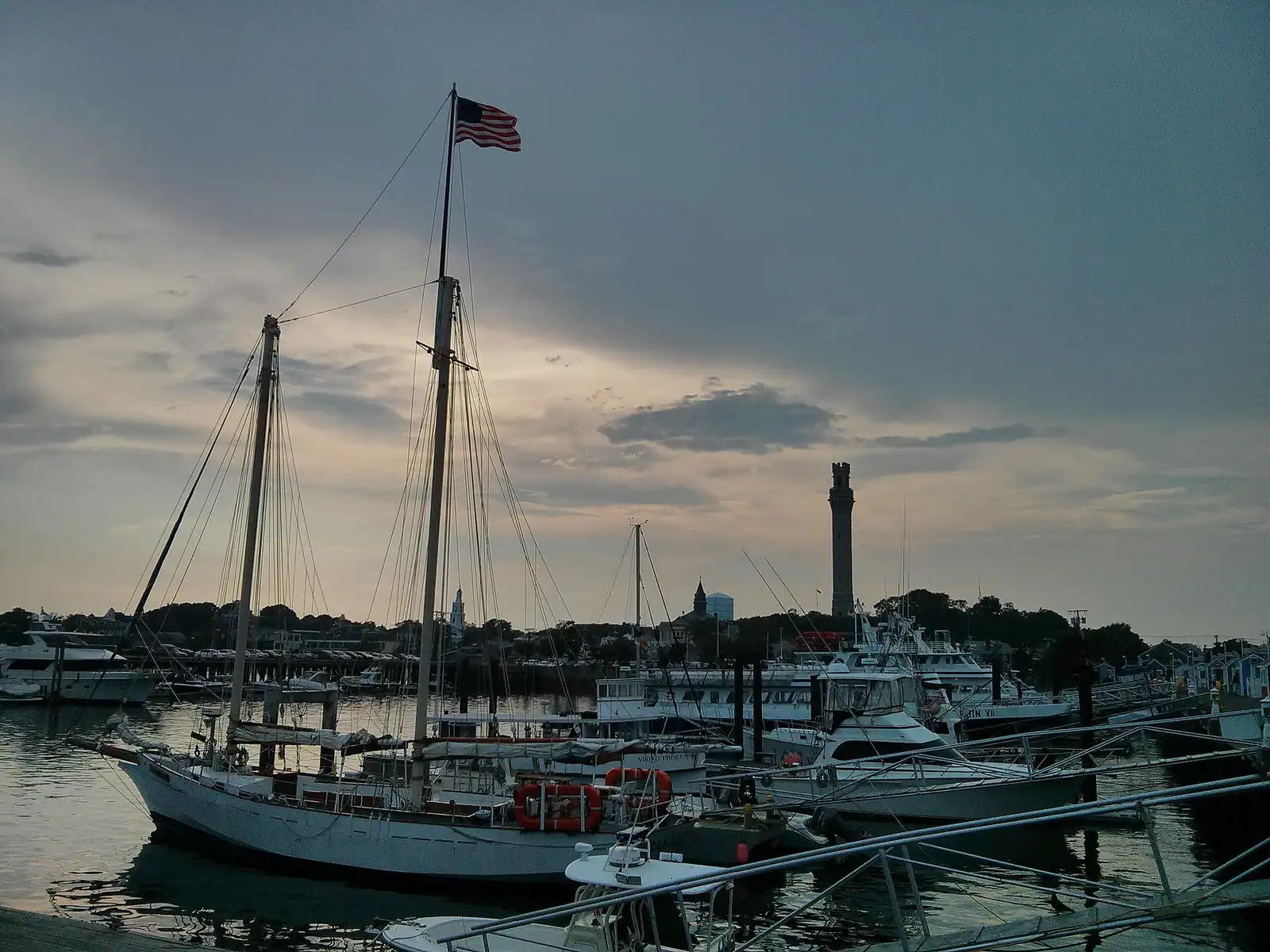
    One working pier carrying the Boston ferries, fifteen whale-watch boats and a fishing fleet — and the departure point for Stellwagen Bank.

    0.5–4 hoursFree to walk. Whale-watch trips, ferries and parking are charged separately.

  • A paved pathway running between green grass under an overcast sky

    Water feature

    Free

    Cape Cod Canal

    A 7.4-mile federal waterway with a car-free paved service road down each bank: the flattest, most reliable cycling on Cape Cod.

    1–4 hoursFree. The service roads on both banks are open to walkers and cyclists at no charge.

  • Coloured glass bottles in red, yellow and green arranged on a black metal rack on Cape Cod

    Neighbourhood

    Free

    Sandwich

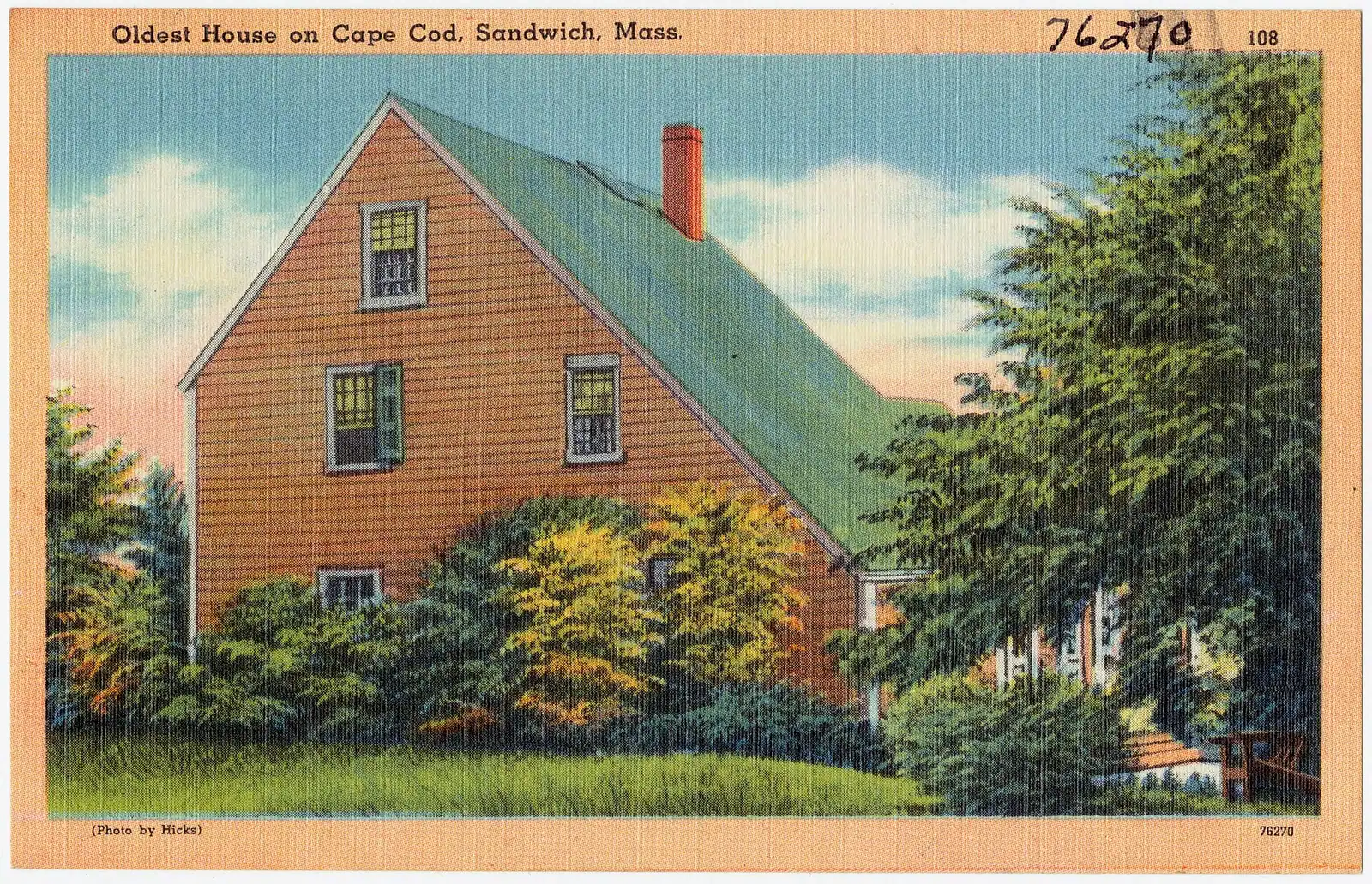
    Settled in 1637, the Cape's oldest town, and the first thing you reach after the Sagamore Bridge rather than the last.

    3–8 hoursFree to walk. The mill, the historic houses and the museums each charge separately.

  • Rows of boats moored in a marina basin on flat water at first light

    Neighbourhood

    Free

    Woods Hole

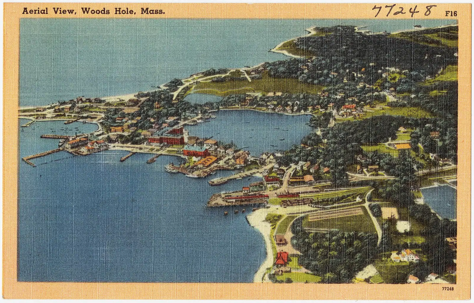
    Eight hundred and thirty-four residents, several of the world's leading marine research institutions, and almost nowhere to leave a car.

    2–5 hoursFree to walk, and the Woods Hole Science Aquarium is free. Ferries and some exhibits are paid.

  • A paved pathway running between green grass under an overcast sky

    Neighbourhood

    Free

    Falmouth

    The Cape's second-largest town, reached over the Bourne Bridge without ever joining the Route 6 queue.

    3–8 hoursFree to visit. Town beach lots require a Falmouth sticker or daily fee in season.

  • Rows of boats moored in a marina basin on flat water at first light

    Neighbourhood

    Free

    Hyannis

    The Cape's only working downtown: island ferries, an airport, a hospital and a Main Street that stays open in February.

    2–8 hoursFree to walk. Ferries, cruises, concerts and museum admission are separately priced.

Straight answers

Questions people actually ask

How bad is traffic on the Cape Cod bridges?

Bad enough that residents plan their whole week around it. The Sagamore and Bourne bridges, both built in 1935, are the only road crossings of the canal, so everything funnels through them. Southbound Friday afternoons and northbound Sunday afternoons in summer back up for miles, turning a ninety-minute drive from Boston into three hours. Cross before nine in the morning or after seven at night and the same journey is unremarkable.

When will the Cape Cod bridges be replaced?

Not soon. The programme is funded at roughly $2.4 billion, the state certified its environmental review in April 2026 and the federal Record of Decision followed in June 2026. The Sagamore is scheduled to go first, with a construction contract anticipated in late 2027 and building starting the following winter; traffic is not expected on a new span until around 2033, with the Bourne after that. The schedule has moved before, so check current status before travelling.

Do you need a car on Cape Cod?

For most visitors, yes. The peninsula is 65 miles long, the towns are strung along two or three roads and there is no transit spine connecting a rental cottage to an early boat departure. The exception is Provincetown: arrive on the seasonal Boston fast ferry, stay at the tip, and a week on foot, by bike and on the seasonal shuttle out to Race Point and Herring Cove works well, with parking there difficult enough to make a car a nuisance.

How much does beach parking cost on Cape Cod?

It depends which system you are in. National Seashore beaches charge a federal fee — currently $25 per vehicle per day, $15 per pedestrian or cyclist aged sixteen and over, or $60 for an annual pass — and anyone can pay it, cards only, at the beach gate. Town beaches are run by the individual towns, most sell a seasonal sticker, and several are sticker-only in July and August regardless of what you offer. Ask your rental manager which town's sticker you get.

Which road is fastest on Cape Cod?

US-6, the Mid Cape Highway, but with a caveat that matters: it is dual carriageway only as far as Dennis and drops to a single lane each way from Orleans up to Provincetown, so any incident on the Outer Cape stops everything with no alternative route. Route 6A along the bay is slower, prettier and full of villages. Route 28 along the south shore serves the Sound beaches and ferries and crawls through Hyannis in season.

Is there public transport on Cape Cod?

Yes, and it is better than visitors expect without replacing a car. The Cape Cod Regional Transit Authority runs the Sealine between Woods Hole, Falmouth and Hyannis, the H2O Line east from Hyannis toward Orleans, a seasonal Provincetown shuttle to Herring Cove and Race Point, and a dial-a-ride Flex service in the thinner towns. Fares are low. Frequencies suit residents rather than early boat departures, and several routes reduce or stop outside the season.

How long does it take to drive to Provincetown?

About sixty miles from the Sagamore Bridge, which is roughly an hour and a quarter outside the season and well over two hours on a summer afternoon. From Boston Logan, allow two and a half hours in the shoulder seasons and considerably more on a July Friday. The alternative worth knowing about is the seasonal fast ferry from Boston, which crosses Massachusetts Bay in about ninety minutes and skips the bridges entirely.

Can you get from Cape Cod to Martha's Vineyard or Nantucket without a car?

Easily, and it is the better way. Ferries to Martha's Vineyard leave Woods Hole for Vineyard Haven in about forty-five minutes year-round, and Nantucket boats leave Hyannis, roughly an hour on the fast catamaran or about two and a quarter on the traditional vessel. Walk on rather than taking a vehicle, which costs several times more and books months ahead, then use island buses, taxis or hire bikes. Allow extra time for remote parking at Woods Hole.