Skip to content
Search
Menu

Bookings here go through Viator, who pay us a commission. You are charged the same either way, and the commission had no say in this list.

Beaches

Kayaking Cape Cod

Last updated

Kayaking on Cape Cod: Nauset Marsh, Pleasant Bay, the kettle ponds and Waquoit Bay, plus the tide, the cold water and why nobody paddles the canal.

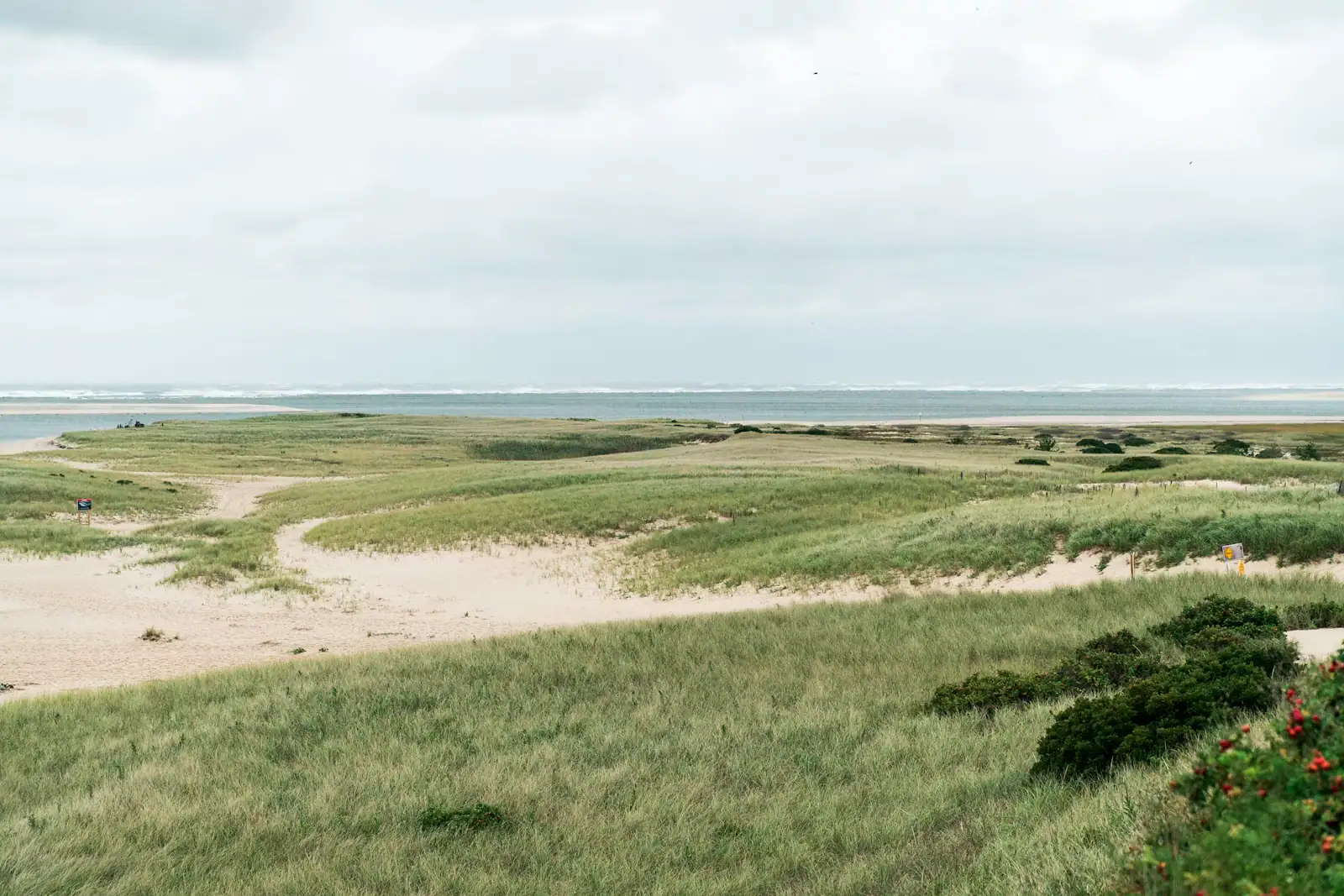
Salt marsh grass and a winding tidal channel under a wide overcast sky on Cape CodUnsplash

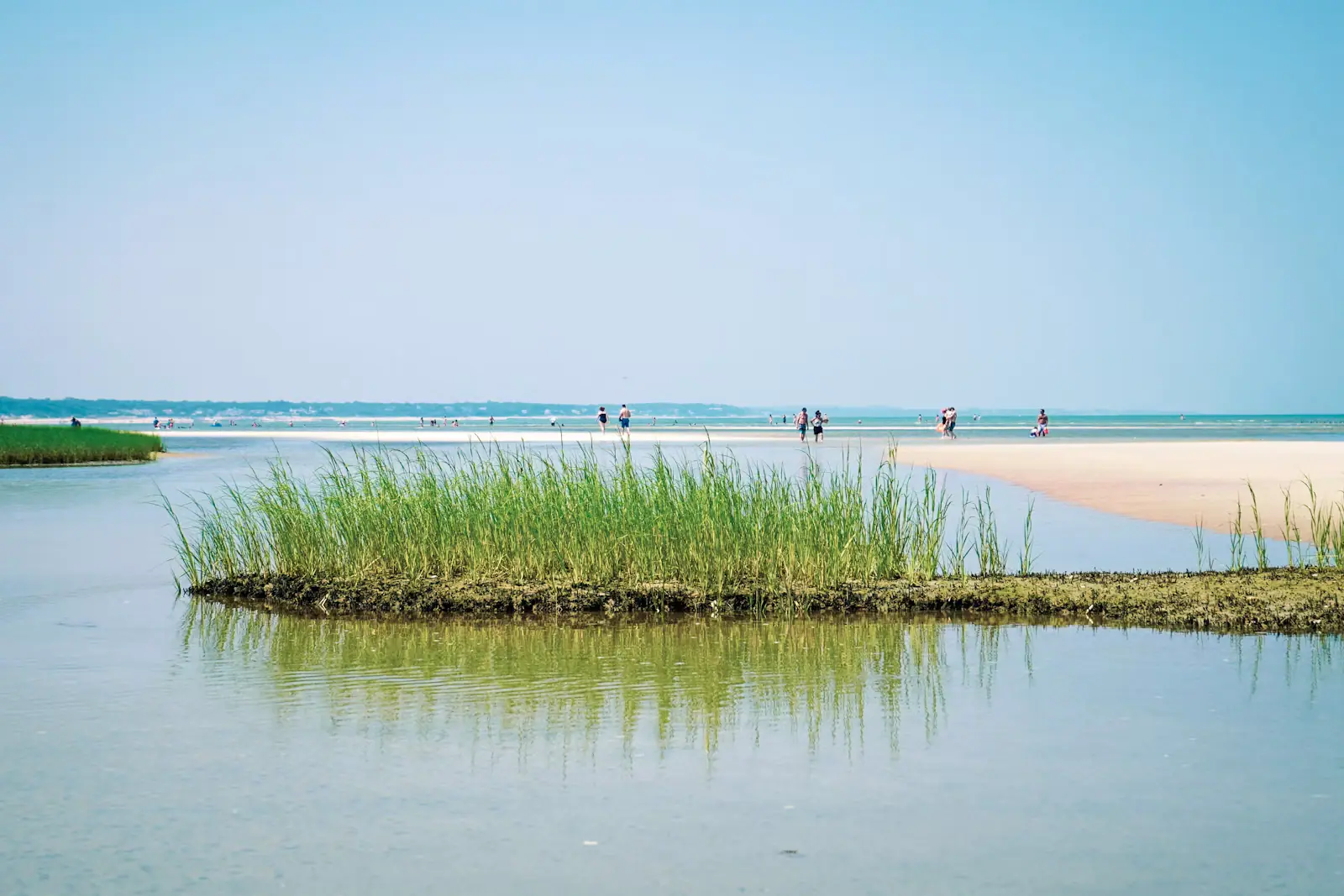
The first thing to understand about paddling here is that the water leaves. In Cape Cod Bay the tide moves something like nine or ten feet between high and low, and the salt marshes behind the barrier beaches are built to drain. A creek that is forty feet wide and chest deep at ten in the morning can be a gutter of mud with a foot of water in it by two in the afternoon. Paddlers who learned on a lake or on a southern estuary with a three-foot range get caught by this every single summer, and the consequence is not danger so much as a very long, very undignified drag.

So the tide table is the planning document. Everything else follows from it.

The second thing is temperature. This is the North Atlantic. Sea temperatures on the outer shore often sit in the low sixties Fahrenheit in July and are much colder in spring and autumn, which puts a capsize into a different category than it occupies further south. Cold shock is a real mechanism and it does not care how well you swim. Massachusetts reflects this in law: paddlers are required to wear a flotation device, not just carry one, between the middle of September and the middle of May. Check the current regulation before a shoulder-season trip, and wear it anyway in June.

With those two facts in hand, the Cape opens up into three genuinely different kinds of paddling. There are the salt marshes and tidal creeks behind the barrier beaches, Nauset at Eastham being the best of them, where you thread a channel through spartina with terns overhead and the ocean audible on the far side of the sand. There are the sheltered bays and harbours, Pleasant Bay above all, which is the Cape's largest estuary at somewhere around nine thousand acres and big enough to paddle for days. And there are the kettle ponds, hundreds of them, freshwater holes left by melting blocks of glacial ice, with no tide, no current, no seals and water ten to fifteen degrees warmer than the sea.

That last category is the one visitors underuse. After three days of failing to get into the Atlantic past your knees, a pond at Nickerson State Park in late August is a revelation.

One route is simply off the list. Do not paddle the Cape Cod Canal. It runs a strong reversing current, it carries commercial shipping in a confined channel, and it is federally managed water. Admire it from the service road on a bicycle.
Nauset Marsh, and the tide that runs it

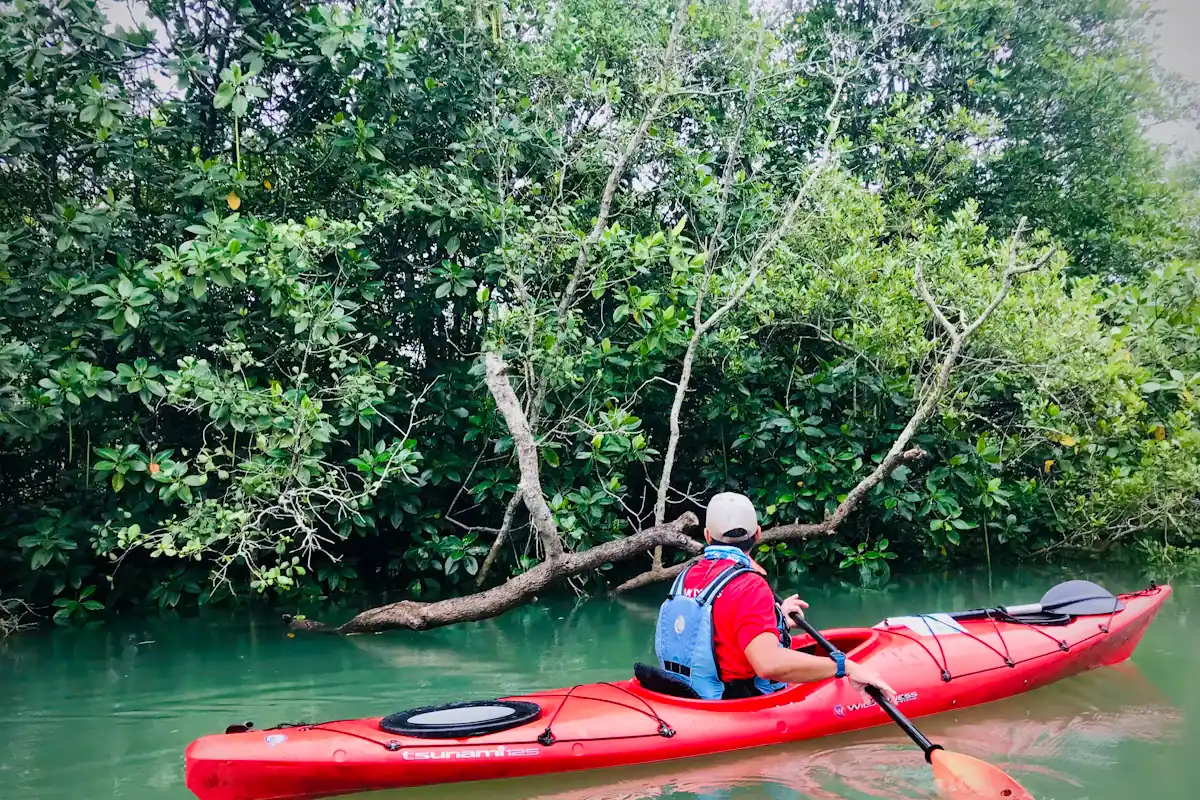
A person paddling a red kayak along a sheltered stretch of calm waterUnsplash
A person paddling a red kayak along a sheltered stretch of calm water

When to go

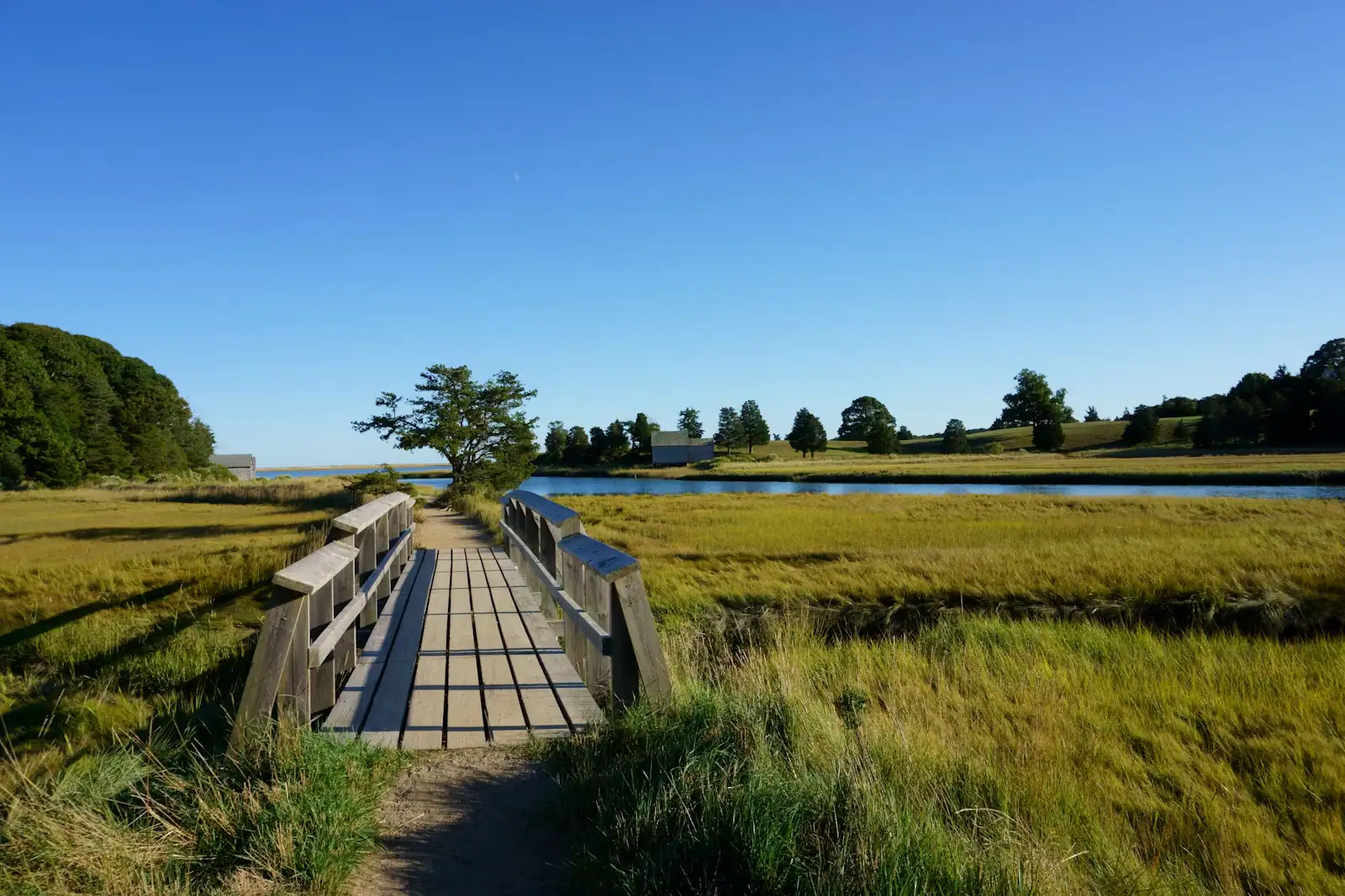
Nauset is the paddle people remember. It lies behind the barrier beach at Eastham, an enormous system of salt marsh, sand flat and winding channel with the open Atlantic on the far side of the dune, and it is reached most easily from Salt Pond beside the National Seashore visitor centre, which connects to the marsh by a creek.

Get the timing right and it is superb: launch on the last of the flood, work the channels while the water is high enough to cross the flats, then leave on the beginning of the ebb with the current helping you home. Get it wrong and you are standing in soft mud a mile from the car with a boat in each hand.

The rule of thumb locals use is to launch about two hours before high water and turn round at or shortly after the top of the tide. The creek out of Salt Pond in particular is shallow and runs hard, and at the bottom of the tide there simply is not enough water in it.

What is out there justifies the arithmetic. Terns working the channels, oystercatchers on the flats, herons in the spartina, ospreys on the marker poles, and in the lower reaches a good chance of a harbour seal's head appearing behind you. Coast Guard Beach is on the barrier and on a calm day you can land on the inside of it. The whole view is essentially unbuilt.

Two cautions. Fog forms fast on this coast in early summer and a marsh you know well is unrecognisable in it, so carry a compass or a charged phone with a downloaded chart. And the barrier beach system moves: channels shift between seasons and after storms, so last year's route is a suggestion rather than a map.

Pleasant Bay: the biggest water on the Cape

Pleasant Bay is the Cape's largest estuary, roughly nine thousand acres of protected water lying behind the outer beach across four towns: Orleans, Chatham, Harwich and Brewster. It is a designated Area of Critical Environmental Concern, which in practice means the whole system is managed as one thing rather than parcelled up.

For a paddler, the attraction is scale and shelter at the same time. The barrier beach on the outside takes the Atlantic swell, so the bay inside is protected, but it is big enough that you can paddle a different route every day for a week. There are islands: Sipson, Pochet, Strong, Little Sipson and Sampson, some of them conservation land you can land on and some private. There are coves that go quiet a hundred yards off the main channel. There are moored boats, which is a reminder that this is shared water.

Access is from a scatter of town landings around the edge, and this is where visitors hit the one real obstacle: several town ramps and their parking are restricted to residents and sticker-holders through July and August. Outfitters solve this by launching you from their own site, which is a substantial part of what you are paying for.

Two things to plan around. The southern end near the Chatham inlet has real current where the tide squeezes through the break in the outer beach, and that is not a beginner's water. And the afternoon sea breeze reliably puts a chop across the open middle of the bay, which is an easy paddle out and a slow paddle back if you have misjudged the direction. Go early.

The wildlife here is good rather than spectacular: ospreys, terns, herons, horseshoe crabs in the shallows in early summer, and seals in the lower bay.

The kettle ponds, which most visitors never find

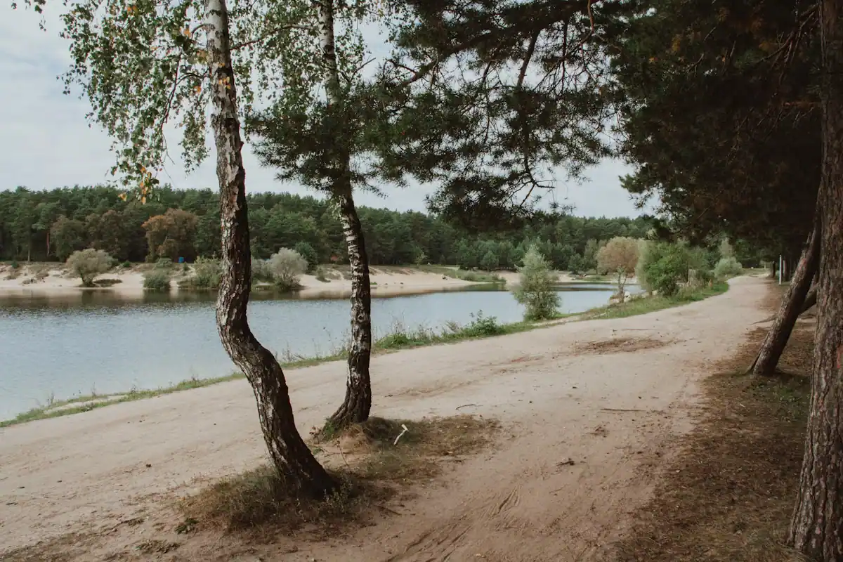
A sandy shoreline fringed with pines beside flat, still freshwaterUnsplash
A sandy shoreline fringed with pines beside flat, still freshwater

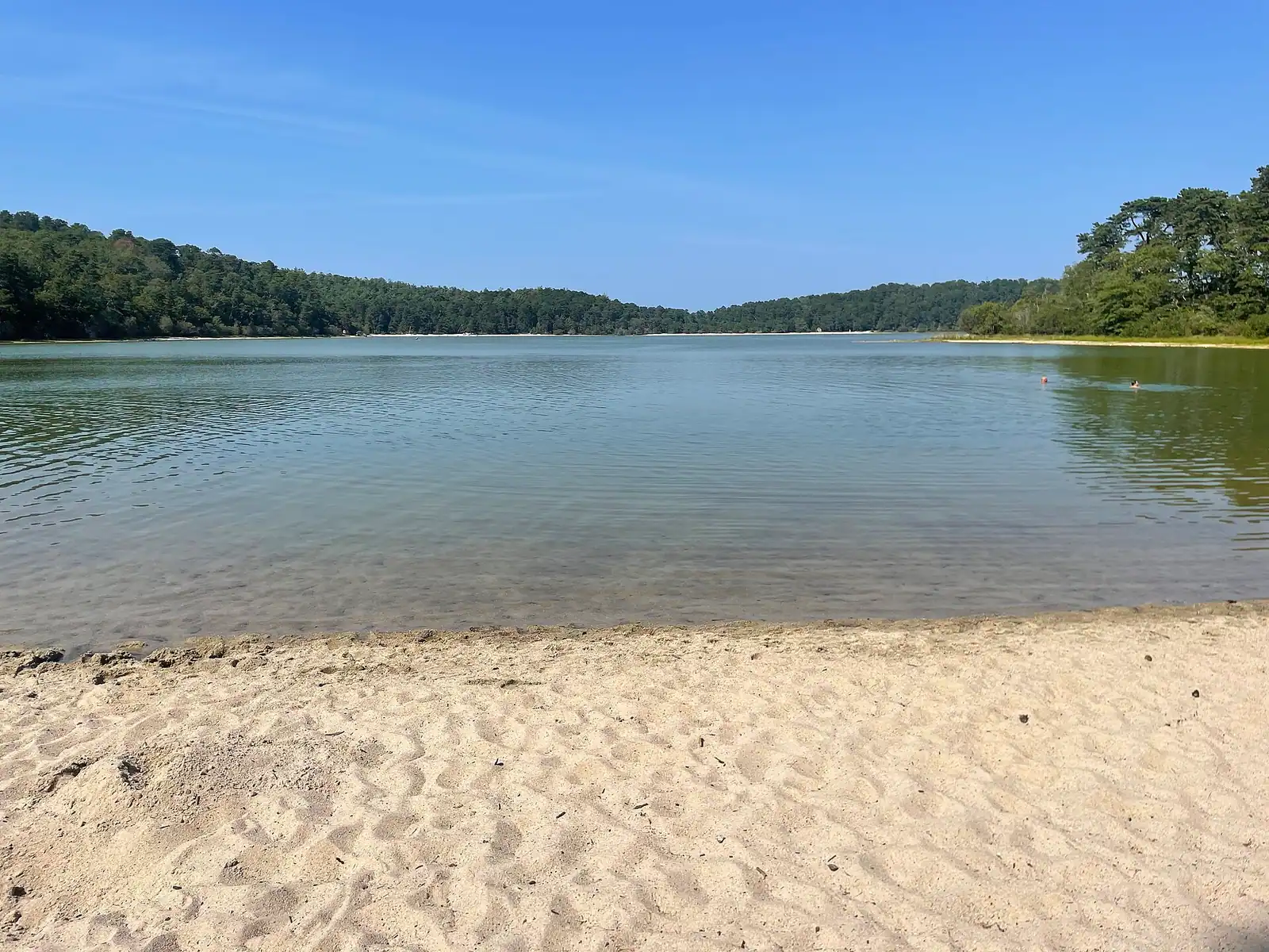
Cape Cod has hundreds of freshwater ponds and they exist for a specific reason. When the ice sheet retreated, blocks of it were left buried in the sand and gravel it had dumped. The sand settled around them, the blocks melted out over the following centuries, and the ground collapsed into the hole. The result is a pond with steep sides, no inlet and no outlet, filled by groundwater: clear, cold at depth, and startlingly warm on the surface by late summer.

For a paddler they are the opposite of everything else on this page. No tide. No current. No shipping. No seals, and therefore nothing following the seals. You can put a boat in at nine in the morning and take it out at four having thought about nothing.

The concentration is greatest in Brewster and Harwich, and Nickerson State Park is the easiest entry point: several ponds inside one state park with parking, a campground, and the Rail Trail running past the gate. Cliff Pond is the big one there. Long Pond, on the Harwich and Brewster line, is generally cited as the largest freshwater pond on the Cape. Gull Pond in Wellfleet is joined to two smaller ponds by short channels, which makes a genuinely lovely little three-pond circuit, and it has a literary reputation because writers who summered on the Outer Cape swam it.

Two practical notes. Many pond landings are town property with resident-only parking in season, so check before you drive, and the state park is the reliable public option. And ponds are sensitive to what comes in on a hull: rinse and dry a boat that has been in another water body, because invasive weed is a live problem in several Cape ponds.

Upper Cape paddling: Waquoit Bay and the south shore

If you are staying near the canal, you do not need to drive an hour down the Cape to get on the water.

Waquoit Bay, across Falmouth and Mashpee, is a National Estuarine Research Reserve: one of a national network of protected estuaries used for long-term science and education. It is shallow, sheltered, warm by Cape standards, and fringed with salt marsh and pine. Washburn Island, inside the reserve, has primitive campsites available by permit and a shoreline you can land on, which makes an overnight paddle-camp trip possible within forty minutes of the bridge. Permit arrangements change, so check the state's current system rather than turning up with a tent.

The rest of the south shore is a chain of small enclosed estuaries and salt ponds: Cotuit Bay, Popponesset Bay, Bass River running up between Yarmouth and Dennis, and Green Pond and Great Pond in Falmouth. These are warm, shallow, forgiving waters and they are where Upper and Mid Cape families actually paddle. Bass River is the longest tidal river on the Cape and can be worked a long way inland on a rising tide.

Barnstable Harbour on the north side is the outlier, and the most impressive of the Upper and Mid Cape options. Behind Sandy Neck lies a very large salt marsh that drains and fills across a tide range close to ten feet. On a high tide you can paddle over marsh that is dry ground four hours later. It is beautiful, and it is the one on this list where the tide table is not optional.

Wind is the consistent variable on this side. The southwesterly sea breeze fills in most summer afternoons and Nantucket Sound gets a short, steep chop out of it very quickly.

Three kinds of water, and which one is yours

How they compare

Choose the water before you choose the outfitter. These behave nothing alike.

WaterWhereTide and currentTemperatureSuits
Salt marsh and tidal creekNauset Marsh (Eastham), Herring River (Wellfleet), Pamet River (Truro), Barnstable's Great MarshStrong. The system drains hard on the ebb and refills fastCool; the water is exchanged with the sea twice a dayConfident paddlers who will read a tide table
Sheltered bay and harbourPleasant Bay, Waquoit Bay, Wellfleet Harbour, Nauset's lower reaches, Cotuit and PopponessetModerate. Chop builds with the afternoon sea breeze rather than with currentCool to mild depending on the coastMost visitors, most days
Kettle pondNickerson State Park, Long Pond, Flax Pond, Gull Pond, dozens moreNone at allMarkedly warmer; genuinely swimmable in AugustFamilies, beginners, anyone who has had enough of cold salt water

A fourth category exists and is for experienced sea kayakers only: the open Atlantic off the National Seashore, and the waters around Monomoy. Surf launches through a dumping shore break, offshore wind, strong tidal streams round the points, fog and a very large seal population make that a serious undertaking rather than a holiday paddle.

The practical rule for a visiting family is that the pond is the default, the sheltered bay is the good day out, and the marsh is the one worth hiring a guide for the first time.

Seals, sharks and the rules that apply to a kayak

Before you book

This is the part of Cape Cod paddling that has no equivalent on a warm-water coast, and it deserves a straight answer rather than a reassuring one.

Grey seals were nearly wiped out in New England under state bounty schemes and recovered after federal protection in 1972. There are now very large numbers hauling out along the Outer Cape and around Monomoy off Chatham, and they are inquisitive: a group will follow a kayak, pop up behind you, and occasionally get close enough to be startling.

White sharks follow the seals. They are a normal, documented part of Outer Cape summers, they hunt seals in shallow water close to the beach, and the season runs roughly late spring into autumn, peaking in late summer. Research here is coordinated by the Atlantic White Shark Conservancy with state fisheries scientists, and the sightings reporting is public.

What that means for a paddler, practically:

  • Do not paddle among a seal haul-out or through a group of swimming seals, particularly on the Atlantic side and around Monomoy. You do not want to be the object in the middle of the thing a shark is interested in.
  • Federal guidance is to stay at least 150 feet from hauled-out seals and not to approach, feed or cause them to move. Disturbing a marine mammal is an offence under federal law regardless of intent.
  • Keep to the sheltered inside waters: Pleasant Bay's upper reaches, the marshes, the harbours, the ponds, rather than the open ocean beaches, unless you are an experienced sea kayaker.
  • Check current advisories before an outer-shore trip. The state, the National Seashore and the conservancy all publish sighting information in season.

None of this is a reason to stay off the water. It is a reason to be on the right water.

Hiring, launching and what to take

What to bring

There is no significant guided-tour market to book through here, which is why this page has no product block. Cape Cod paddling runs on outfitters with a van and a launch, and on shops that hire by the hour or the day.

  • Hire from an outfitter with its own launch site if you are visiting in July or August. The obstacle on the Cape is not the boat, it is the parking at town landings, most of which are restricted to residents and sticker-holders in season.
  • Take a guide for your first marsh trip. Nauset and the Barnstable Great Marsh both reward local knowledge about which channel still has water in it at a given state of tide, and that knowledge is genuinely the product.
  • Wear the flotation device. Massachusetts requires it worn between mid-September and mid-May, and the water is cold enough in June that the law being silent does not make it a good idea.
  • Dress for immersion, not for the air. A sixty-degree sea and an eighty-degree afternoon is the standard Cape combination and it flatters nobody's judgement.
  • Carry water, a whistle, a phone in a dry bag and something to navigate with. Fog is common on this coast in early summer and it arrives faster than it looks like it will.
  • Take a light layer even in August. The wind off the water is consistently colder than the beach.
  • Check the wind forecast, not just the sky. The afternoon southwesterly is the most reliable thing about a Cape summer day and it turns an easy return into a slog.

Rinse and dry your boat between water bodies, particularly between a pond and anywhere else. Invasive aquatic weed has already reached several Cape ponds and hulls are how it travels.

On the ground

Where to go

Every place below has its own page — hours, parking, what it costs and what to expect when you get there.

  • A sandy footpath lined with beach grass dropping down toward the shore on Cape Cod

    Beach

    Coast Guard Beach

    A barrier spit with salt marsh behind it, the best bodysurfing on the Outer Cape, and a summer parking rule that catches people out.

    2–5 hoursNational Seashore fee: $25 per vehicle per day, or $15 per person arriving on foot or by bicycle.

  • Small boats moored on calm water in a sheltered harbour at Chatham, Massachusetts

    Neighbourhood

    Free

    Chatham

    The town at the Cape's elbow, where a barrier beach has broken open three times since 1987 and rebuilt the shoreline each time.

    3–8 hoursFree to visit. Town beach lots require a Chatham parking sticker in season.

  • Salt marsh grass and a winding tidal channel under a wide overcast sky on Cape Cod

    Nature preserve

    Free

    Monomoy National Wildlife Refuge

    Two wilderness barrier islands off Chatham holding thousands of grey seals and the Atlantic coast's largest common tern colony.

    1–4 hoursFree. Refuge lands carry no entrance charge; boat trips with private operators are separately priced.

  • A paved pathway running between green grass under an overcast sky

    Park

    Nickerson State Park

    Eight glacial kettle ponds in nineteen hundred acres of pine, with the Cape's only large public campground and its warmest swimming.

    2–8 hoursState park day-use parking fee in season; camping and yurts are booked and priced separately

  • A sand path cut through beach grass opening onto the open Atlantic on Cape Cod's outer shore

    Neighbourhood

    Free

    Wellfleet

    Around seventy per cent of this Outer Cape town is protected land, which is why the ocean beaches feel like nobody told anyone about them.

    3–8 hoursFree to visit. Town beaches need a Wellfleet sticker in season; Marconi Beach takes the federal fee.

  • People walking out across wet sand flats at low tide on the bay side of Cape Cod

    Neighbourhood

    Free

    Brewster

    The bay town where low tide opens a walking surface that was open sea an hour earlier, and fills again faster than people expect.

    3–8 hoursFree to visit. Town beach lots need a Brewster sticker in season; Nickerson charges day-use parking.

  • Rows of boats moored in a marina basin on flat water at first light

    Neighbourhood

    Free

    Woods Hole

    Eight hundred and thirty-four residents, several of the world's leading marine research institutions, and almost nowhere to leave a car.

    2–5 hoursFree to walk, and the Woods Hole Science Aquarium is free. Ferries and some exhibits are paid.

  • A wooden boardwalk crossing a grassy salt marsh on Cape Cod

    Museum

    Cape Cod Museum of Natural History

    A small local aquarium with a marsh boardwalk out the back that leads to Wing Island and the Brewster flats.

    1.5–3 hoursPaid admission, modest by museum standards, with reduced and family rates usually offered

Straight answers

Questions people actually ask

Where is the best kayaking on Cape Cod?

Nauset Marsh at Eastham is the standout for scenery, a tidal system of creeks and flats behind the barrier beach reached from Salt Pond. Pleasant Bay, roughly nine thousand acres across Orleans, Chatham, Harwich and Brewster, is the biggest sheltered water and the best for a longer day. For warm, still water with no tide at all, the glacial kettle ponds at Nickerson State Park in Brewster are the best of a large field.

Do you need to check the tide before kayaking on Cape Cod?

On any salt water here, yes, and in the bay it is not optional. The tide range in Cape Cod Bay is roughly nine to ten feet, so the marshes behind the barrier beaches empty properly on the ebb, and a creek that floats a boat at high water can be mud four hours later. Launch on a rising tide and turn round around high water. Nantucket Sound has a much smaller range, closer to three or four feet.

Is the water too cold for kayaking on Cape Cod?

Not for paddling, but it is cold enough to change how you prepare. Sea temperatures on the outer shore often sit in the low sixties Fahrenheit even in July, which means a capsize brings a real risk of cold shock rather than just a soaking. Massachusetts requires paddlers to wear a flotation device between mid-September and mid-May. Dress for going in the water rather than for the air temperature.

Can you kayak in the Cape Cod Canal?

No, and you should not try. The canal runs a strong reversing tidal current that changes direction through the day, it carries commercial shipping in a confined channel with limited room to manoeuvre, and it is federally managed water. The bank service roads are open to cyclists and walkers, which is the right way to see it. Paddle the sheltered bays, the marshes or the ponds instead.

Are there seals where you kayak on Cape Cod?

Yes, particularly around Chatham, Monomoy and the lower reaches of Pleasant Bay and Nauset. Grey seals recovered strongly after federal protection in 1972 and there are now very large numbers along this coast. They are curious and will approach a boat. Federal guidance is to stay at least 150 feet from hauled-out seals and never to approach or cause them to move, and disturbing them is an offence regardless of intent.

Is it safe to kayak on Cape Cod with white sharks around?

On the sheltered inside waters, the marshes and the freshwater ponds, this is not a practical concern. On the open Atlantic shore it deserves respect: white sharks hunt seals in shallow water close to the beach through the warmer months. The sensible rule is not to paddle among seals or through a haul-out, particularly on the ocean side and near Monomoy, and to check current advisories before an outer-shore trip.

What are the kettle ponds on Cape Cod?

They are freshwater ponds formed when blocks of glacial ice were buried in sand and gravel and later melted out, collapsing the ground above them, roughly fifteen to twenty thousand years ago. There are hundreds on the Cape. They have no tide, no current and no inlet, they are fed by groundwater, and they run ten to fifteen degrees warmer than the sea in late summer. Nickerson State Park in Brewster is the easiest place to paddle one.

Where can you kayak on Cape Cod with kids?

Freshwater first. The ponds inside Nickerson State Park in Brewster have parking, no tide and no current, and the water is genuinely warm by late August. On salt water, the upper reaches of Pleasant Bay, Waquoit Bay on the Upper Cape and Bass River between Yarmouth and Dennis are shallow, sheltered and forgiving. Avoid the outer Atlantic shore and the tidal inlets entirely with children aboard.