Skip to content
Search
Menu

Bookings here go through Viator, who pay us a commission. You are charged the same either way, and the commission had no say in this list.

Beaches

Cycling Cape Cod

Last updated

Cycling Cape Cod: the 25.5-mile Rail Trail from Yarmouth to Wellfleet, the Shining Sea Bikeway, the canal service roads and the Province Lands dune loops.

A paved pathway running between green grass under an overcast skyUnsplash

The reason a bicycle works so well on Cape Cod has nothing to do with the terrain and everything to do with a railway company going bust.

The Cape Cod Central Railroad began pushing a line down the peninsula from Yarmouth in 1861. It was absorbed into the Old Colony in 1872 and into the New York, New Haven & Hartford in 1893, and the freight and summer passenger traffic ran for the better part of a century before Penn Central collapsed in 1970. Massachusetts bought the corridor in 1976 and opened it as a trail in 1980. What that history left behind is 25.5 paved miles running through seven towns on railroad grades, which is to say almost no gradient at all, because a locomotive cannot climb what a road can.

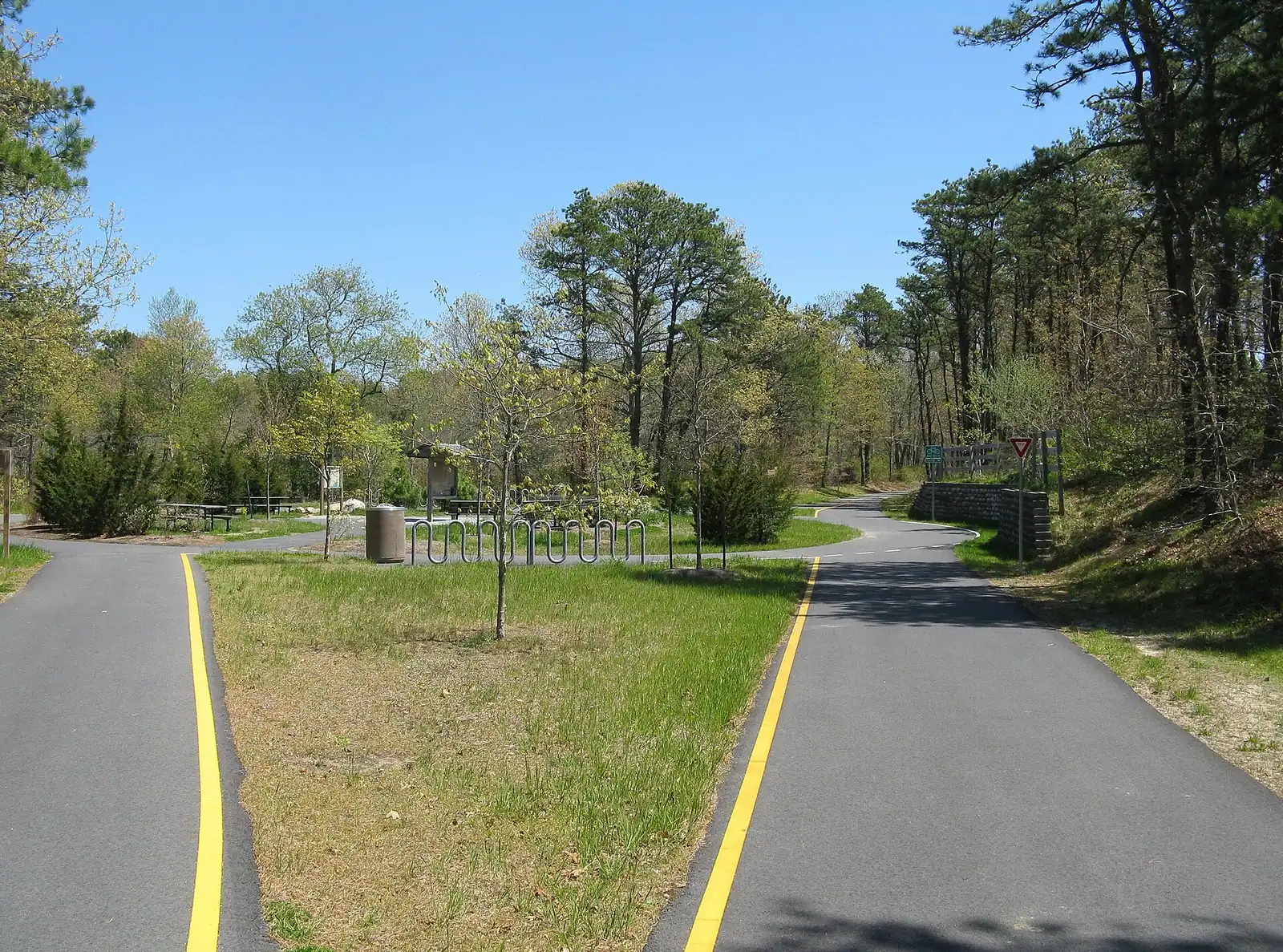
That single fact is why the Cape Cod Rail Trail suits people who do not otherwise cycle. A family with a nine-year-old can ride eight miles from Brewster to Orleans and back without anyone crying. The surface is asphalt, the width takes two abreast comfortably, and the road crossings are marked and, in the busier places, signalled.

But treat the trail as the whole of cycling here and you miss most of it. The Province Lands loops at Provincetown climb and drop through parabolic dunes with blind crests, and they are genuinely demanding. The park roads inside Nickerson State Park roll over kettle-hole terrain that the railway engineers went round. The Shining Sea Bikeway on the Upper Cape runs its own separate ten-odd miles along Buzzards Bay to the Woods Hole ferry, and the Cape Cod Canal has seven car-free miles of paved service road on each bank with not a single crossing on either.

What the Rail Trail gives you in exchange for the flatness is a cross-section of the Cape you cannot get from a car. The corridor threads behind the towns rather than through them: cranberry bogs at Harwich that flood scarlet for the October harvest, a string of glacial kettle ponds close enough to swim in on a hot afternoon, pitch pine and scrub oak, salt marsh at Orleans, and a section through the National Seashore at Eastham where you can turn off and be at Coast Guard Beach in ten minutes.

One honest caution before you plan around it. This is not a wilderness path. In July and August the middle sections carry a great deal of traffic, including rental riders with no experience of passing and a rapidly growing number of e-bikes moving considerably faster than the families around them. Early morning is a different trail from two in the afternoon, and the difference is worth getting up for.

Where to start, and where to park

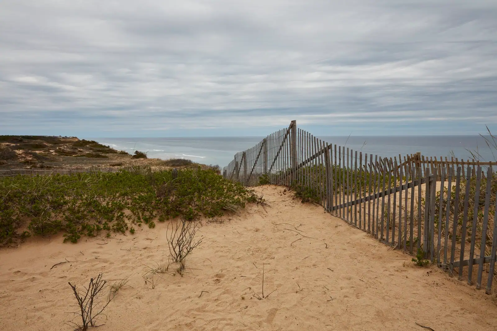
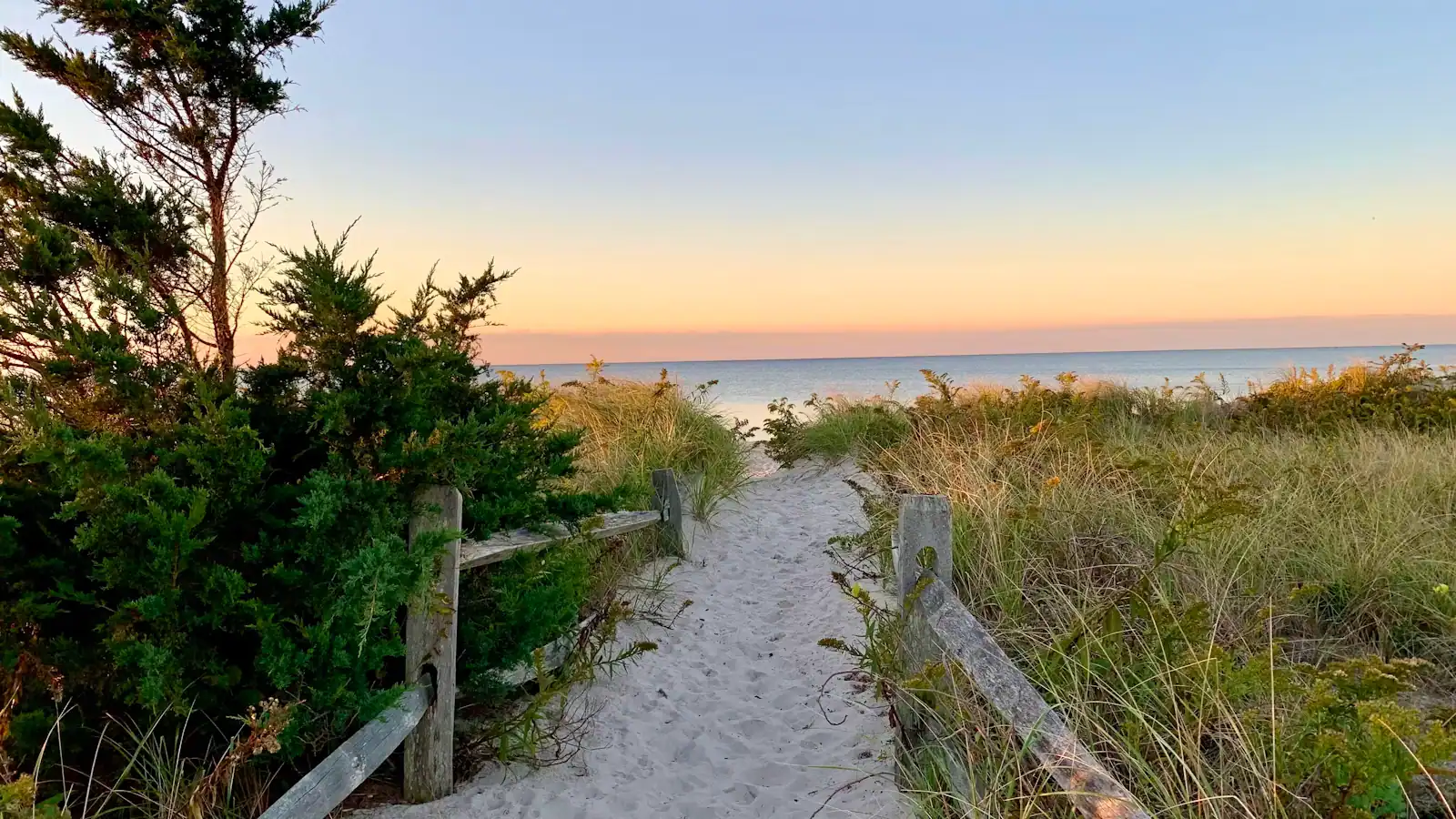
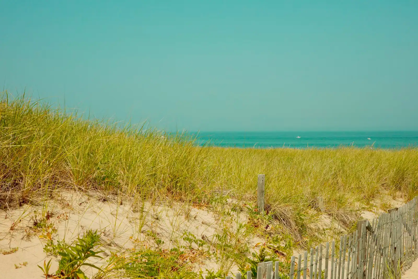
A sandy footpath lined with beach grass dropping down toward the shore on Cape CodUnsplash
A sandy footpath lined with beach grass dropping down toward the shore on Cape Cod

Local tips

Trailhead choice decides the day here more than the direction does.

  • Route 134, South Dennis. The biggest lot and the traditional western trailhead, with a bike shop nearby. Fills early on a hot Saturday.
  • Nickerson State Park, Brewster. The best all-round base. You are in the middle of the trail, the park's own loops add miles, there are ponds to swim in, and the parking is inside a state park rather than on a verge.
  • Orleans. Central, well served by shops and food, and the natural start if you want to ride out to the Seashore rather than into the woods.
  • Salt Pond Visitor Center, Eastham. Park here and you get the trail in one direction and the 1.6-mile Nauset Trail spur to Coast Guard Beach in the other, which is the single best short ride on the Cape.
  • Wellfleet, LeCount Hollow Road. The northern end. Quietest, least parking.

Two practicalities. Trailhead lots fill from mid-morning through the summer, and several are small; arriving before nine is not an affectation. And the National Seashore charges a vehicle fee at its own beach lots, which is separate from anything the towns charge, so parking at Salt Pond and riding to the beach can save you a fee as well as a queue.

If you are staying on the corridor, the better move is to skip parking altogether. Rentals delivered to a house are widely available in season, and a property within a mile of the trail effectively turns the bicycle into the family's second car for the week.

The four other rides worth the drive

The Rail Trail is the famous one. These are the ones that change what people think about cycling here.

The Province Lands Bike Trail, Provincetown. Roughly 5.25 miles of looped paved trail through the dunes behind the town, built in the 1960s and unlike anything else on the peninsula. It climbs, drops, banks and swings round blind crests between walls of beach grass, with spurs down to Race Point and Herring Cove. It is beautiful and it is not a beginner's trail: the gradients are short but real, the sightlines are poor, and sand blows across the surface. Ride it early, ride it in control, and stop at the Province Lands visitor centre deck on the way round.

The Shining Sea Bikeway, Falmouth. About 10.7 miles from North Falmouth down to the Woods Hole ferry terminal, on another disused railroad right of way. It runs beside salt marsh and a long stretch of Buzzards Bay shoreline with beach on one side and pond on the other, and delivers you to the island ferries. The name comes from Katharine Lee Bates, born in Falmouth, who wrote the words to "America the Beautiful". It is the best ride on the Upper Cape and the only one that ends somewhere useful.

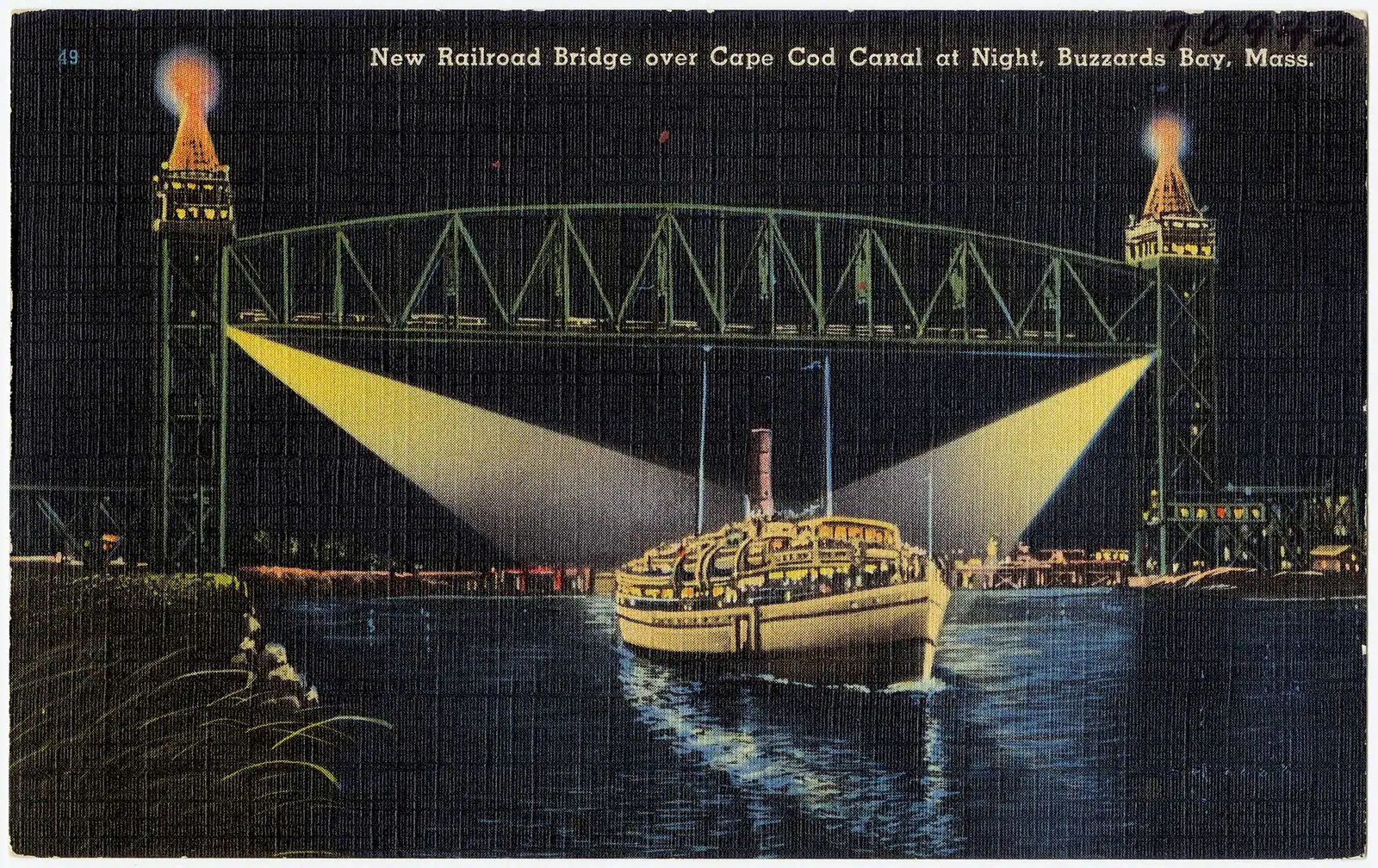
The Cape Cod Canal service roads. Roughly seven miles of paved, car-free road along each bank, maintained by the Army Corps of Engineers, with not one road crossing on either side. Dead flat, fully exposed to wind, and the entertainment is shipping passing within yards of your handlebars. Anglers use the same surface, so watch for rods.

The Old Colony Rail Trail. Roughly eight miles of spur from the main trail at Harwich down to Chatham, quieter than the parent trail and a sensible way to arrive in Chatham without trying to park there in August.

Hiring a bike, and what it realistically costs

What it costs

There is no tour market here to speak of. Cycling on Cape Cod is a shop transaction: you walk in, you take a bike, you bring it back. That is why this page carries no booking block.

Shops cluster at the trailheads in Dennis, Brewster, Orleans, Eastham and Wellfleet, with more in Falmouth for the Shining Sea and in Provincetown for the dune loops. Hire is usually offered by the hour, the day, the week or the fortnight, and the weekly rate is where the value is if you are staying on the corridor. Treat published summer rates as a band rather than a quote and check before you travel, because they move year to year.

What to check when you book, in order of how much it will affect your day:

  • Whether they deliver. Delivery to a rental house removes the trailhead parking problem entirely and is the single best decision available here.
  • Child seats, tag-alongs and trailers. Supply is limited in July and August and these go first. Reserve rather than turning up.
  • Helmet policy. Massachusetts law requires a helmet for riders under sixteen. Shops supply them; confirm sizes for children when you reserve.
  • E-bike class. Rules on where different classes of electric bike may be ridden vary between the state trail, town paths and the National Seashore, and enforcement has tightened. Ask the shop what their machine is and where it is permitted.
  • Return time. Shops close earlier than you expect outside July and August, and a great many close entirely between Columbus Day and Memorial Day.

If you bring your own bike, the regional buses carry them on racks with limited capacity, and the seasonal Outer Cape service is the only realistic transit link at the far end of the trail.

The cranberry bogs, the kettle ponds and the herring run

The corridor was routed for freight, which means it goes behind things, which means you see a version of the Cape that the highway hides.

Cranberry bogs. Between Dennis and Harwich the trail runs past working bogs, flat rectangles of low red-green vine divided by sand dykes and ditches. The Cape's bogs were built on old kettle-hole bottoms where the water and the acid peat were already in place. The show is in October, when a bog is flooded and the fruit floats up in a red raft to be corralled with booms. It is a farm operation rather than a visitor attraction, so watch from the trail.

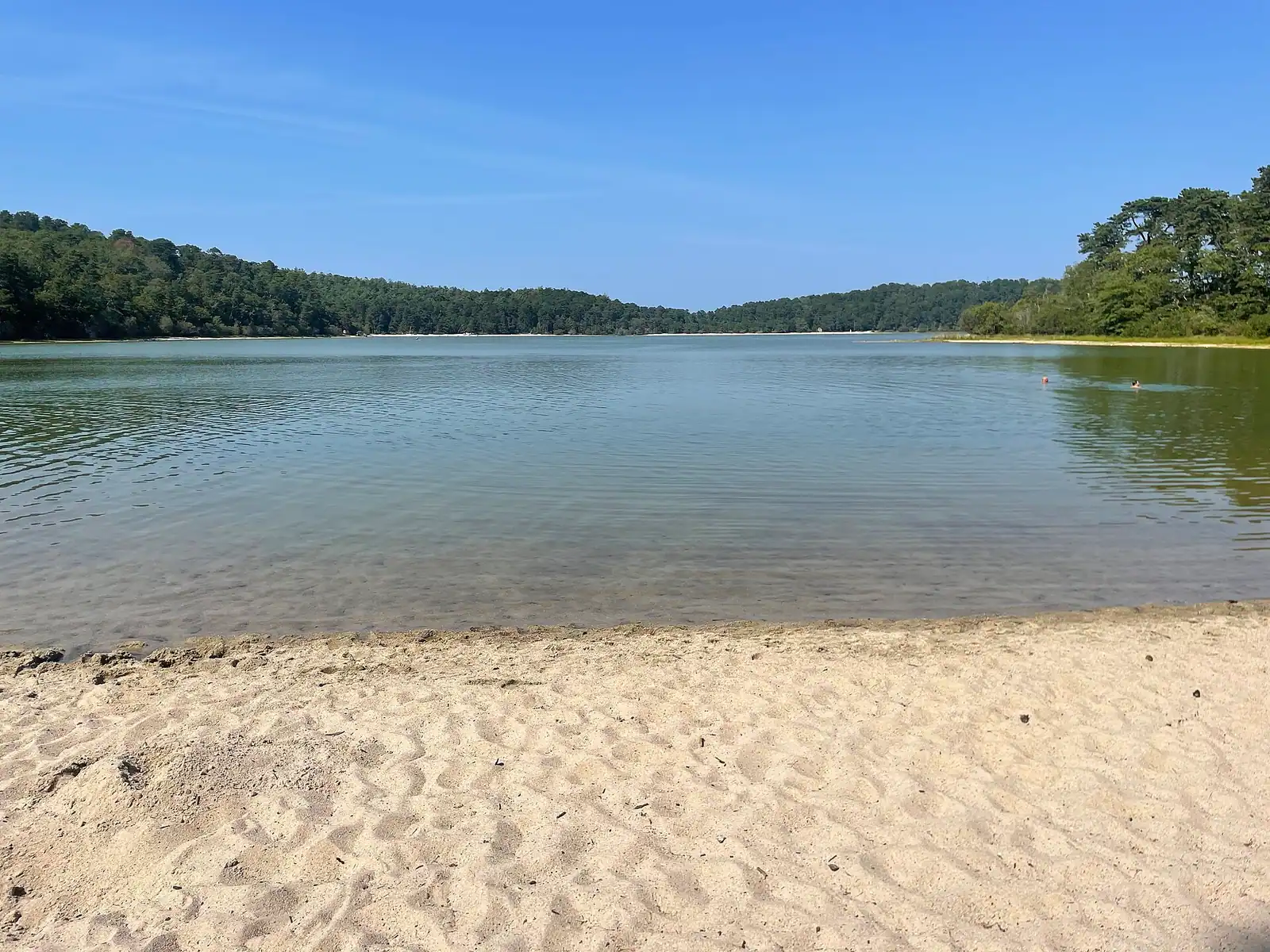
Kettle ponds. These are the holes left by blocks of glacial ice that were buried in outwash sand and then melted, around fifteen to twenty thousand years ago. There are hundreds on the Cape and a good number sit within a few hundred yards of the trail. They are freshwater, clear, noticeably warmer than the Atlantic in summer, and have no sharks in them, which after a week on the outer beaches is a proposition with some appeal. Several have small town beaches with parking; some are resident-only in season.

The herring run. In spring, river herring push up from the sea into the Cape's ponds to spawn, and a few of the runs are crossed by or close to the trail. The Brewster run at Stony Brook and the Harwich runs are the ones people stop for. Taking herring is prohibited in Massachusetts and has been for years while the stocks recover, so this is a watching business.

Add salt marsh at Orleans, pitch pine and scrub oak for miles, red maple swamp in the low sections, and at Eastham a stretch inside the National Seashore where the vegetation turns distinctly coastal.

The Rail Trail, section by section

How they compare

The trail runs broadly northeast from South Yarmouth to Wellfleet. These are the segments people actually ride, with the character of each.

SegmentRoughlyWhat it is likeBest for
South Yarmouth to Dennis (Route 134)3 milesThe western end, quieter, residential and wooded, with the main Dennis trailhead lot at the far endBeating the crowds; parking when everything else is full
Dennis to Harwich6 milesPine woods opening onto cranberry bogs and the Herring River; the most agricultural stretchThe October harvest, when the bogs are flooded for picking
Harwich to Brewster5 milesKettle ponds either side, including Seymour and Long Pond; the Old Colony spur to Chatham branches off hereA swim stop halfway
Brewster and Nickerson State Park4 milesThe green middle. Nickerson's own paved loops branch off and are hillier than anything else on the routeA full day; the park's ponds and campground
Brewster to Orleans4 milesRolling gently down to the Orleans rotary area, past the Cape Cod Museum of Natural History turn-offFamilies riding out and back from either end
Orleans to Eastham3 milesSalt marsh views, then the National Seashore; the Nauset Trail spur runs to Coast Guard BeachCombining a ride with an ocean beach
Eastham to Wellfleet5 milesThinner traffic, more pine, ending near LeCount Hollow Road short of Wellfleet centreRiders who want the quiet end

The trail does not currently continue past Wellfleet. Work northwards has been largely stalled since 2023 while a route to Provincetown is argued over, and the extensions that have moved are at the western end, heading toward Route 132 in Barnstable in phases funded from 2024.

Nobody needs to ride the whole 25.5 miles. The most common good day is eight to twelve miles out and back from one trailhead, with a swim or a lunch at the turn.

Crossings, crowds and the honest hazards

Before you book

The Rail Trail is safe and pleasant. It is also busier than a first-timer expects, and the risks are specific.

Road crossings. The trail crosses public roads at grade in a number of places, and the ones on busy routes are the ones to respect. Some are signalised, some are not. A rider travelling at speed with the sun behind them is easy for a driver not to see. Slow to walking pace at crossings and do not assume a stopping car has seen the second rider behind you.

Passing. The most common incident here is not a car. It is a rider overtaking a family group without calling, on a trail where a five-year-old wobbles unpredictably. Call clearly, pass wide, and if you are the family, ride single file where the trail is busy.

E-bikes. Numbers have risen sharply and speed differentials on a shared path are the real issue. If you are on one, ride at the pace of the traffic rather than the pace of the motor.

Timing. Early morning is a substantially better experience than mid-afternoon in July and August. Shoulder season is better again: September and early October give you warm days, thin traffic and the bogs turning.

Sun, wind and water. There is very little shade on the canal service roads or the dune loops, the wind on the canal is stronger than it looks from the car park, and there is no drinking water for long stretches. Carry more than you think.

Ticks. If you stop and walk into the grass or scrub beside the trail, check yourself afterwards. Tick-borne illness is a real local health issue on this peninsula rather than a theoretical one.


On the ground

Where to go

Every place below has its own page — hours, parking, what it costs and what to expect when you get there.

  • A sandy footpath lined with beach grass dropping down toward the shore on Cape Cod

    Beach

    Coast Guard Beach

    A barrier spit with salt marsh behind it, the best bodysurfing on the Outer Cape, and a summer parking rule that catches people out.

    2–5 hoursNational Seashore fee: $25 per vehicle per day, or $15 per person arriving on foot or by bicycle.

  • A paved pathway running between green grass under an overcast sky

    Trail

    Free

    Cape Cod Rail Trail

    Twenty-five and a half paved miles on an old railbed through seven towns, and the way to reach a beach in August without parking.

    1.5–6 hoursFree to use. Some trailhead car parks charge or require a town sticker.

  • A paved pathway running between green grass under an overcast sky

    Park

    Nickerson State Park

    Eight glacial kettle ponds in nineteen hundred acres of pine, with the Cape's only large public campground and its warmest swimming.

    2–8 hoursState park day-use parking fee in season; camping and yurts are booked and priced separately

  • A sand path cut through beach grass opening onto the open Atlantic on Cape Cod's outer shore

    Neighbourhood

    Free

    Wellfleet

    Around seventy per cent of this Outer Cape town is protected land, which is why the ocean beaches feel like nobody told anyone about them.

    3–8 hoursFree to visit. Town beaches need a Wellfleet sticker in season; Marconi Beach takes the federal fee.

  • People walking out across wet sand flats at low tide on the bay side of Cape Cod

    Neighbourhood

    Free

    Brewster

    The bay town where low tide opens a walking surface that was open sea an hour earlier, and fills again faster than people expect.

    3–8 hoursFree to visit. Town beach lots need a Brewster sticker in season; Nickerson charges day-use parking.

  • A paved pathway running between green grass under an overcast sky

    Water feature

    Free

    Cape Cod Canal

    A 7.4-mile federal waterway with a car-free paved service road down each bank: the flattest, most reliable cycling on Cape Cod.

    1–4 hoursFree. The service roads on both banks are open to walkers and cyclists at no charge.

  • Rows of boats moored in a marina basin on flat water at first light

    Neighbourhood

    Free

    Woods Hole

    Eight hundred and thirty-four residents, several of the world's leading marine research institutions, and almost nowhere to leave a car.

    2–5 hoursFree to walk, and the Woods Hole Science Aquarium is free. Ferries and some exhibits are paid.

  • A paved pathway running between green grass under an overcast sky

    Neighbourhood

    Free

    Falmouth

    The Cape's second-largest town, reached over the Bourne Bridge without ever joining the Route 6 queue.

    3–8 hoursFree to visit. Town beach lots require a Falmouth sticker or daily fee in season.

  • A long empty beach of pale sand backed by low dune vegetation with no buildings in sight

    Beach

    Head of the Meadow Beach

    The least crowded of the six park beaches, with a Truro town lot next door on a different payment system and an 1872 wreck in the sand.

    2–5 hoursNational Seashore lot: $25 per vehicle per day. The adjacent Truro town lot charges separately.

Straight answers

Questions people actually ask

How long is the Cape Cod Rail Trail?

It runs 25.5 paved miles through seven towns: Yarmouth, Dennis, Harwich, Brewster, Orleans, Eastham and Wellfleet. The corridor is a former railbed, originally built by the Cape Cod Central Railroad from 1861, which is why it is almost entirely flat. Massachusetts bought the right of way in 1976 after Penn Central's bankruptcy and opened it as a trail in 1980. Extensions west toward Barnstable have been funded in phases since 2024.

Is the Cape Cod Rail Trail flat?

Almost completely, because it follows railroad grades and a locomotive could not climb a hill that a road can. There are gentle rises and one or two short ramps at rebuilt crossings, but nothing that would trouble an occasional rider or a child. The exceptions are the branch loops inside Nickerson State Park, which roll over kettle-hole terrain, and the Province Lands trail in Provincetown, which is genuinely steep in places.

Where can I rent a bike on Cape Cod?

Shops sit at most of the Rail Trail's main access points, including Dennis on Route 134, Brewster near Nickerson State Park, Orleans, Eastham near the Salt Pond Visitor Center and Wellfleet, plus Falmouth for the Shining Sea Bikeway and Provincetown for the dune loops. Many will deliver to a rental house, which solves the trailhead parking problem. Reserve child seats and trailers ahead in July and August; supply runs out.

Where should I start the Cape Cod Rail Trail?

Nickerson State Park in Brewster is the best all-round starting point, because it puts you in the middle of the trail with the park's own loops and swimmable kettle ponds attached. The Route 134 lot in South Dennis is the traditional western trailhead and the largest. The Salt Pond Visitor Center in Eastham is the best for combining a ride with an ocean beach, via the Nauset spur to Coast Guard Beach.

Can you cycle from the Cape Cod Rail Trail to Provincetown?

Not continuously. The trail currently ends near LeCount Hollow Road in Wellfleet, and the extension north has been largely stalled since 2023 while a route is settled. Riders who want to cycle in Provincetown generally drive or take the seasonal bus up and ride the separate Province Lands trail, about 5.25 miles of looped paved path through the dunes, with spurs to Race Point and Herring Cove.

Are e-bikes allowed on the Cape Cod Rail Trail?

Rules differ between the state trail, individual town paths and the National Seashore, and they have been tightened as numbers have grown, so the class of machine matters. Ask the hire shop exactly what they are giving you and where it is permitted before you ride off. The practical point is speed: the trail carries families and small children, and the safe pace on a shared path is the pace of the traffic around you.

Is there a bike path along the Cape Cod Canal?

Yes, and it is one of the better free rides in the region. The Army Corps of Engineers maintains roughly seven miles of paved, car-free service road along each bank, with no road crossings at all on either side. It is completely flat and completely exposed, so wind is the only difficulty, and the passing shipping is close enough to be the main entertainment. Anglers use the same surface, so watch for rods and lines.

Can you swim from the Cape Cod Rail Trail?

In several places, and the water is freshwater rather than sea. The trail passes close to a string of glacial kettle ponds through Harwich and Brewster, including the ponds inside Nickerson State Park, and they are markedly warmer than the Atlantic beaches in summer. Some have town beaches with lifeguards and parking, and a few of those lots are restricted to residents in season. Check the specific pond before planning around it.