Skip to content
Search
Menu

Bookings here go through Viator, who pay us a commission. You are charged the same either way, and the commission had no say in this list.

Trail

Cape Cod Rail Trail

Last updated

Twenty-five and a half paved miles on an old railbed through seven towns, and the way to reach a beach in August without parking.

The Cape Cod Rail Trail runs about 25.5 miles from Station Avenue in South Yarmouth to LeCount Hollow Road in Wellfleet, following the bed of the Cape Cod Central Railroad, built between 1861 and 1868 and later absorbed into Penn Central. Massachusetts bought the corridor in 1976 after the railroad's bankruptcy and had it open as a trail by 1980, which makes it one of the older long rail trails in the country and part of the Claire Saltonstall Bikeway.

Its value on Cape Cod is not primarily recreational. It is that the trail passes through Yarmouth, Dennis, Harwich, Brewster, Orleans, Eastham and Wellfleet without touching Route 6, and that a bicycle arriving at a beach does not need a parking space. In July and August that is the difference between a day that works and a day spent circling a full lot.

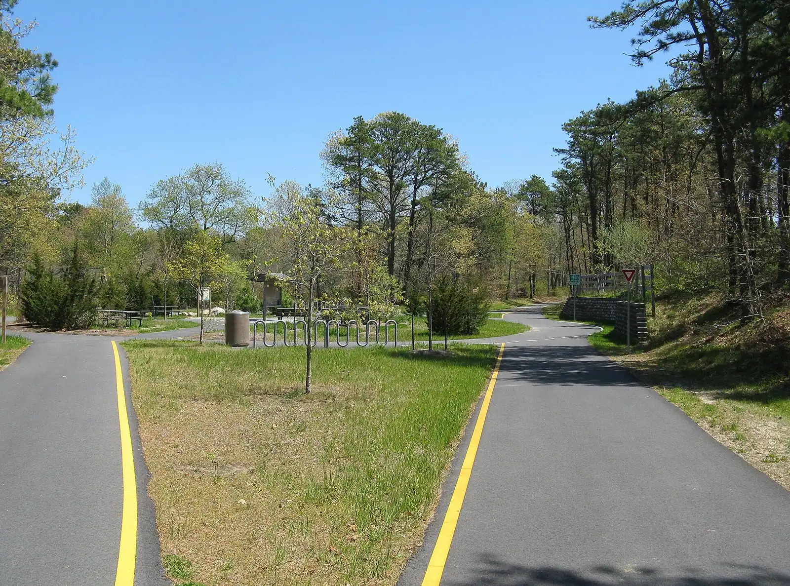
The riding is easy but not flat in the way the canal is flat. A railbed grades gently, so there are long shallow rises rather than climbs, and the Eastham and Wellfleet end has more of them than the Harwich end. Surface is paved throughout and generally in good condition.

Shade is the underrated variable. Much of the Harwich and Brewster section runs through pitch pine and oak and stays cool. The Eastham stretch opens out and is exposed, which on a still July afternoon is a different experience altogether.

The trail's connections matter as much as the trail. The Old Colony Rail Trail branches south towards Chatham. Nickerson State Park offers about eight miles of its own paved loops off the main line in Brewster. In Eastham the trail passes within reach of the Salt Pond Visitor Center and the spur towards Coast Guard Beach, which is the classic ride: rail trail to the National Seashore, then the boardwalk over Nauset Marsh.

Rental shops cluster at the main trailheads and in Brewster and Orleans.

Getting there and parking

There is no single entrance. The trail runs 25.5 miles and has parking at intervals along its length, with the main trailheads at Station Avenue in South Yarmouth, Route 124 in Harwich, Nickerson State Park in Brewster, the Orleans centre area, Salt Pond in Eastham and LeCount Hollow Road in Wellfleet.

From the Sagamore Bridge, Route 6 runs parallel to the trail for most of its length. Take the exit nearest whichever trailhead you want rather than driving to an end. Nickerson State Park in Brewster has the most parking and the fewest problems in high summer.

Most car parks along the trail are free. Nickerson charges a state park day-use fee in season, and some town lots near the trail require a local sticker, which catches people out.

The Cape Cod Regional Transit Authority operates seasonal services along the Lower and Outer Cape, and some vehicles carry bike racks. Check the current arrangements before relying on one.

By bike from further afield, the Claire Saltonstall Bikeway links the trail towards the canal and the mainland, though much of that connection is on road rather than off it.

Which direction to ride, and why it is not obvious

The trail runs roughly south-west to north-east, and Cape Cod's prevailing summer breeze is south-westerly. That has a consequence people work out too late.

Riding from South Yarmouth towards Wellfleet is usually the downwind direction. It feels effortless. Turning round at Wellfleet after twenty-five miles and riding twenty-five back into a fifteen-knot sea breeze at four in the afternoon is not effortless.

If you are doing an out-and-back, start at the Wellfleet end and ride south-west first, so the tired leg is the assisted one. If you are being collected at the far end, or you have arranged a one-way with a rental shop, ride north-east and enjoy it.

Morning is calmer than afternoon almost every day between June and September, because the sea breeze builds through the day. An early start is worth more here than on most trails.

For distance, be realistic. Twenty-five miles each way is a fifty-mile day, which is a genuine ride for most people on a hybrid with a rucksack. Brewster to Wellfleet and back is roughly thirty, Harwich to Brewster and back around fifteen, and the Nickerson loops turn any of them into a longer or shorter day at will.

In October the trail is at its best: cool air, low sun through the pitch pines, and none of the August congestion.
Road crossings and the busy stretches

This is not the canal service road. The rail trail crosses public roads at grade in a number of places, and a few of those crossings carry serious summer traffic.

Route 137 and Route 124 in Harwich are the two to slow down for. Both are signalised or controlled, and both see drivers who are not expecting a cyclist at speed. Several of the Brewster and Orleans crossings are on roads that feed beach traffic and are busiest exactly when the trail is busiest.

The trail itself gets congested in high summer, particularly the Nickerson to Orleans section on a hot afternoon, with rented bikes ridden by people who have not been on one since last year. Expect wobbling, sudden stops and children on the wrong side. Call your pass.

Keep right, pass left, and use a bell. There is no requirement in Massachusetts for an adult to wear a helmet, but there is for younger riders; check the current age threshold and simply put helmets on everyone.

Bike and pedestrian traffic share the whole length. The Orleans and Eastham sections carry a lot of walkers and dog walkers in the shoulder seasons.

Rail trail rules exclude motorised vehicles other than mobility devices and electric bicycles within the classes the state permits. Check the current rules if you are bringing an e-bike, because they have changed.

Trailheads, rentals and how to build a day

  • South Yarmouth, Station Avenue. The south-western terminus, with parking. The quietest end and the least scenic.
  • Harwich, Route 124 and the Old Colony junction. Good parking, and the branch south towards Chatham leaves here.
  • Brewster, Nickerson State Park. The best single base. Free parking inside the park, eight miles of paved loops of its own, ponds to swim in, and the main trail passing the gate.
  • Orleans, Rock Harbour Road area. Central, useful for a short ride in either direction, and close to shops and food.
  • Eastham, Salt Pond. The National Seashore visitor centre, with the spur towards Coast Guard Beach and the Nauset Marsh boardwalk. The most rewarding ride on the whole trail if you only do one section.
  • Wellfleet, LeCount Hollow Road. The north-eastern terminus, close to Newcomb Hollow and White Crest beaches.
  • Rentals operate at or near most of these, with hybrid and children's bikes, trailers and helmets. Prices and opening are seasonal; book ahead in July and August and check whether one-way drop-off is offered.
  • Water and food are not evenly spread. Fill up in Brewster or Orleans rather than assuming Eastham will provide.

Near Rail Trail

Straight-line distances, so allow more on the road — the island is long and has one main parkway.

  • A paved pathway running between green grass under an overcast sky

    Park

    Nickerson State Park

    Eight glacial kettle ponds in nineteen hundred acres of pine, with the Cape's only large public campground and its warmest swimming.

    2–8 hoursState park day-use parking fee in season; camping and yurts are booked and priced separately0.6 mi away

  • People walking out across wet sand flats at low tide on the bay side of Cape Cod

    Neighbourhood

    Free

    Brewster

    The bay town where low tide opens a walking surface that was open sea an hour earlier, and fills again faster than people expect.

    3–8 hoursFree to visit. Town beach lots need a Brewster sticker in season; Nickerson charges day-use parking.3.1 mi away

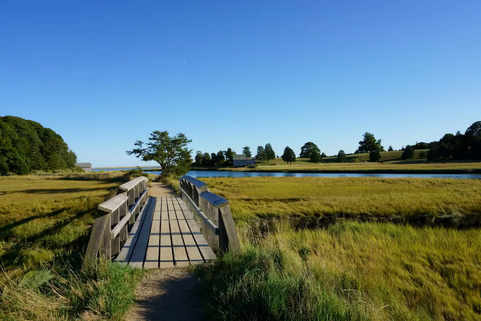
  • A wooden boardwalk crossing a grassy salt marsh on Cape Cod

    Museum

    Cape Cod Museum of Natural History

    A small local aquarium with a marsh boardwalk out the back that leads to Wing Island and the Brewster flats.

    1.5–3 hoursPaid admission, modest by museum standards, with reduced and family rates usually offered3.7 mi away

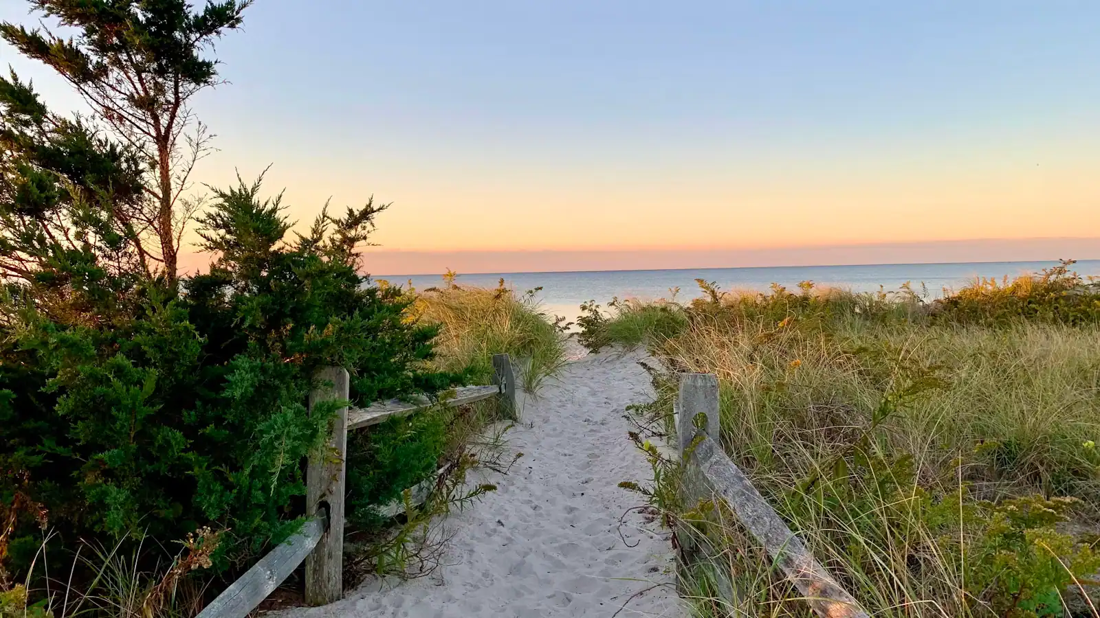
  • A sand path cut through beach grass opening onto the open Atlantic on Cape Cod's outer shore

    Neighbourhood

    Free

    Wellfleet

    Around seventy per cent of this Outer Cape town is protected land, which is why the ocean beaches feel like nobody told anyone about them.

    3–8 hoursFree to visit. Town beaches need a Wellfleet sticker in season; Marconi Beach takes the federal fee.12.5 mi away

Rail Trail: common questions

How long is the Cape Cod Rail Trail?

About 25.5 miles, from Station Avenue in South Yarmouth to LeCount Hollow Road in Wellfleet, through seven towns: Yarmouth, Dennis, Harwich, Brewster, Orleans, Eastham and Wellfleet. It follows the Cape Cod Central Railroad bed, built between 1861 and 1868, which Massachusetts bought in 1976 and opened as a trail by 1980. A full out-and-back is fifty miles, which is a genuine day rather than an afternoon.

Which direction should you ride the Cape Cod Rail Trail?

If you are riding out and back, start at the Wellfleet end and ride south-west first. The prevailing summer breeze on Cape Cod is south-westerly, so the Yarmouth-to-Wellfleet direction is usually the easy one, and you want the assisted leg for the tired half of the day. If a rental shop is collecting you or offering a one-way drop-off, ride north-east and take the tailwind. Mornings are calmer than afternoons.

Where can you rent bikes on the Cape Cod Rail Trail?

Rental shops cluster at or near the main trailheads, particularly in Brewster, Orleans and around Nickerson State Park, with hybrids, children's bikes, trailers and helmets. Prices and opening seasons vary by shop and most close outside the main season, so book ahead in July and August and ask specifically whether one-way drop-off is available, since that changes which direction you should ride.

Is the Cape Cod Rail Trail suitable for children?

Yes, with one caution. The surface is paved and graded throughout, so the riding is easy, and the Nickerson State Park loops are a good self-contained option with swimming at the end. The caution is that the trail crosses public roads at grade in several places, and Route 137 and Route 124 in Harwich carry real summer traffic. Massachusetts requires helmets for younger riders; check the current age threshold.

Does the Cape Cod Rail Trail go to a beach?

Not directly, but its most rewarding section comes close. From Salt Pond in Eastham a spur runs towards Coast Guard Beach in the Cape Cod National Seashore, taking in the boardwalk across Nauset Marsh on the way. That ride is the reason to bring a bike to the Outer Cape at all: in July and August, arriving at a Seashore beach on two wheels removes the parking problem that defines everybody else's day.