Skip to content
Search
Menu

Bookings here go through Viator, who pay us a commission. You are charged the same either way, and the commission had no say in this list.

Neighbourhood

Falmouth

Last updated

The Cape's second-largest town, reached over the Bourne Bridge without ever joining the Route 6 queue.

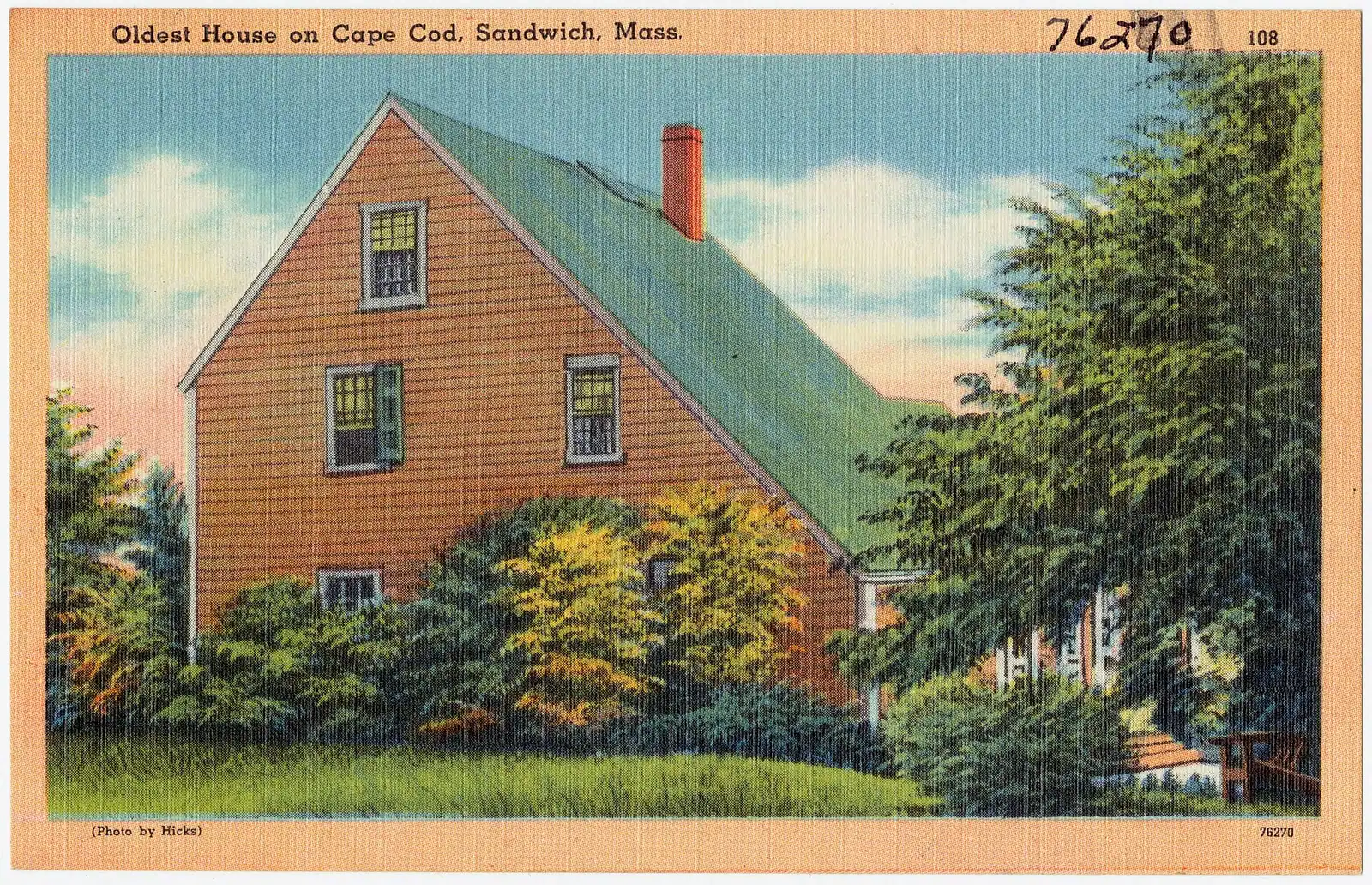
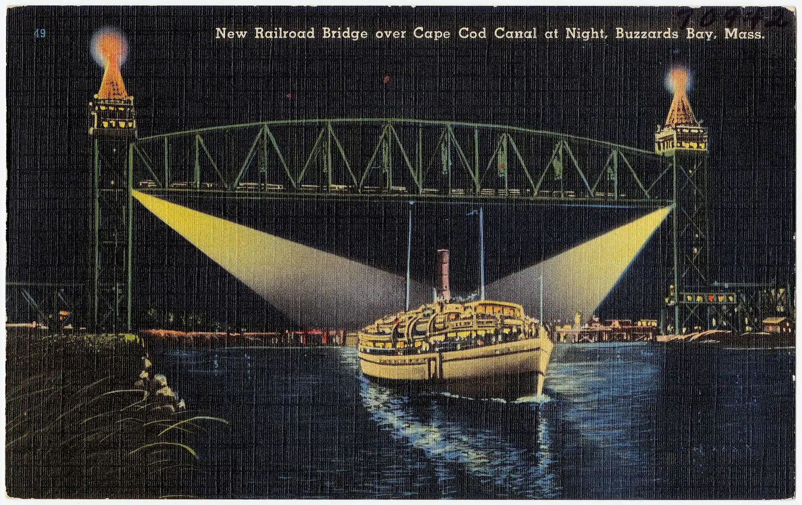
Photo: Tichnor Bros. Inc., Boston, Mass.Public domain

Falmouth occupies the Cape's south-western corner and has a logistical advantage that no other town on the peninsula can claim: you get here over the Bourne Bridge and down Route 28, and you never join Route 6. On a July Saturday, when the Sagamore queue is backed up and the Mid Cape Highway is a car park, that is worth more than any amount of scenery.

It is also the second-largest municipality on the Cape after Barnstable, with 32,517 residents and eight villages inside its boundary: Falmouth itself, Woods Hole, East Falmouth, West Falmouth, North Falmouth, Waquoit, Hatchville and Falmouth Heights. Those are genuinely different places, and saying you are staying in Falmouth conveys about as much as saying you are staying in Barnstable.

The centre is arranged around a village green laid out in the eighteenth century, with a white church, a row of historic houses and a Main Street that has more year-round trade than most Cape high streets because the town has the population to sustain it. Katharine Lee Bates, who wrote the words to "America the Beautiful", was born here in 1859, and the phrase "from sea to shining sea" is why the town's bike path is called what it is.

That path is the best thing in Falmouth. The Shining Sea Bikeway runs 10.7 paved miles from the Steamship Authority terminal in Woods Hole north to North Falmouth on the Old Colony Railroad's 1872 Woods Hole branch. It is the oldest rail trail in Massachusetts and the first in the United States to be assembled by eminent domain, and it passes cranberry bog, salt marsh, woodland and beach in a way that no ten-mile path has any right to.

The water here is Buzzards Bay on one side and Vineyard Sound on the other. Old Silver Beach faces north-west, which means warm shallow water and the best sunset on the Upper Cape.

Getting there and parking

Falmouth is reached over the Bourne Bridge rather than the Sagamore, then south on Route 28. That is the whole logistical case for the town: you never join Route 6, which is the road that determines how bad a Cape Cod summer journey is.

From Boston allow around an hour and a half in clear traffic. From Providence and the west, I-195 to Route 25 and the Bourne Bridge avoids Boston entirely and is often the faster approach.

Within the town, Route 28 runs south through the centre towards Falmouth Heights and Route 28A takes the quieter inland line through West and North Falmouth.

The Shining Sea Bikeway is the best way to move between the villages in summer and it links the centre with Woods Hole, which has almost no parking of its own.

Falmouth Harbor has a seasonal passenger ferry to Martha's Vineyard; the car ferry runs from Woods Hole. Bus services connect Falmouth to Boston, Logan and the Hyannis Transportation Center; check current timetables.

The Shining Sea Bikeway, end to end

10.7 miles, paved, from Woods Hole to North Falmouth, on the bed of a railway line laid in 1872. It is the oldest rail trail in the state, and it exists because Falmouth voted to take the corridor by eminent domain in 1969 and then won the case a resident brought against the taking, which went to the Massachusetts Supreme Judicial Court in 1973. That decision prompted legislation protecting abandoned rail corridors across the Commonwealth, and Massachusetts has kept more miles of former railway in public ownership than any other state as a result.

What it is like to ride is more varied than any comparable path on the Cape. From Woods Hole it runs beside the water at Trunk River and Surf Drive with Vineyard Sound open on your left. Through the centre of Falmouth it is urban and busy. North of town it goes quiet, running past cranberry bogs, through woodland and along the edge of salt marsh, with the Cape Cod Canal's western approaches somewhere ahead.

The southern end terminates at the Steamship Authority terminal in Woods Hole, which makes the obvious day out unusually neat: ride down, take the ferry to Martha's Vineyard as a foot passenger, and ride back.

Parking exists at several points along the trail, including a lot at the North Falmouth end and others in the middle, which matters because parking in Woods Hole itself is close to non-existent.

The trail connects to the Moraine Trail in the centre of Falmouth, a rougher off-road route for anyone who wants dirt.

Two coasts, and which beach faces which way

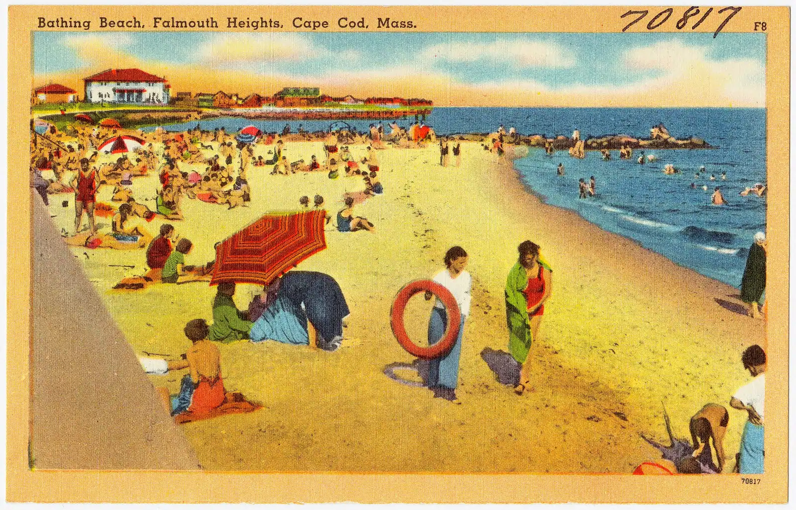
Falmouth has shoreline on Buzzards Bay to the west and Vineyard Sound to the south, and the difference is not subtle.

Old Silver Beach in North Falmouth faces north-west into Buzzards Bay. Shallow, warm, a sandbar at low tide that toddlers wade on, and a sunset that goes down over the water rather than behind you. It is the most popular beach in the town and its lot fills on a hot day.

Falmouth Heights Beach faces south into Vineyard Sound with Martha's Vineyard visible across the water and the ferries passing. Calm, family-oriented, and busy.

Surf Drive Beach is close to the centre, easy to reach on the bikeway, and the most practical if you are without a car.

Menauhant and Bristol Beach on the south shore are quieter alternatives.

Chapoquoit in West Falmouth is the local's choice on Buzzards Bay, with a reputation for wind that makes it a kite and windsurf spot.

Town beach parking requires a Falmouth sticker in season, sold to non-residents by the town in periods that change from year to year. Some lots take a daily fee. Check the current arrangement.

None of this is Atlantic water. There is no surf here, the water is comparatively warm by August, and the shark advisories that govern the Outer Cape do not apply on this coast in the same way. For families with small children, this is the easiest swimming on Cape Cod.
The green, the ponds and the weekend the town stops

  • Falmouth Village Green dates from the eighteenth century and is ringed by historic houses, a white church and the Museums on the Green run by the local historical society. Free to walk.
  • Main Street has a higher proportion of year-round independent trade than most Cape high streets, because the town's population supports it.
  • Spohr Gardens is a small privately endowed garden on Oyster Pond, free to visit, with daffodils in spring and a collection of anchors and millstones. Almost no visitors find it.
  • Falmouth's ponds are numerous and several are swimmable, which is the local alternative when the beach lots fill.
  • The Falmouth Road Race has run since 1973 over seven miles from Woods Hole to Falmouth Heights and draws upwards of ten thousand runners on a weekend in August. Roads close, parking vanishes and accommodation is booked out. If you are not running, that is a weekend to be somewhere else on the Cape. Dates are announced annually.
  • Falmouth Harbor has a seasonal passenger ferry to Martha's Vineyard, which is the quicker option from this end of town if you are not taking a car. The car ferry leaves from Woods Hole.
  • Nobska Light sits on the headland between Falmouth and Woods Hole, with the best view across Vineyard Sound on the Upper Cape.

Near Falmouth

Straight-line distances, so allow more on the road — the island is long and has one main parkway.

  • Rows of boats moored in a marina basin on flat water at first light

    Neighbourhood

    Free

    Woods Hole

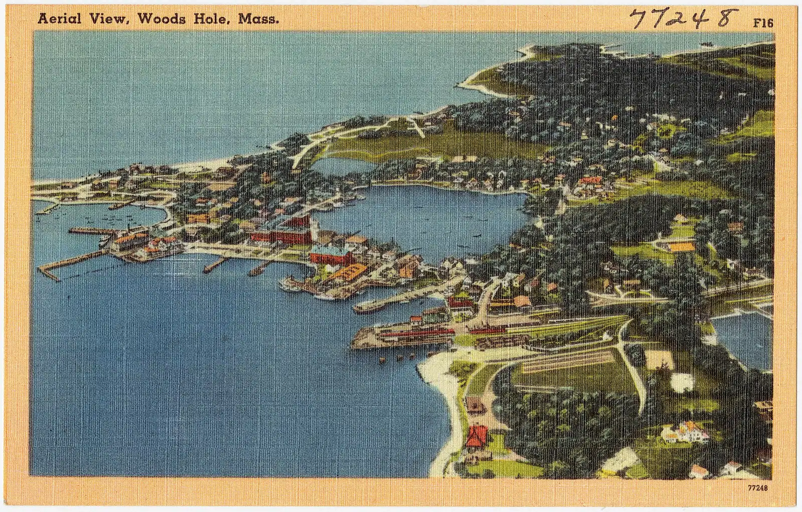
    Eight hundred and thirty-four residents, several of the world's leading marine research institutions, and almost nowhere to leave a car.

    2–5 hoursFree to walk, and the Woods Hole Science Aquarium is free. Ferries and some exhibits are paid.3.6 mi away

  • Coloured glass bottles in red, yellow and green arranged on a black metal rack on Cape Cod

    Neighbourhood

    Free

    Sandwich

    Settled in 1637, the Cape's oldest town, and the first thing you reach after the Sagamore Bridge rather than the last.

    3–8 hoursFree to walk. The mill, the historic houses and the museums each charge separately.15.5 mi away

  • A paved pathway running between green grass under an overcast sky

    Water feature

    Free

    Cape Cod Canal

    A 7.4-mile federal waterway with a car-free paved service road down each bank: the flattest, most reliable cycling on Cape Cod.

    1–4 hoursFree. The service roads on both banks are open to walkers and cyclists at no charge.14.2 mi away

  • A paved pathway running between green grass under an overcast sky

    Museum

    Heritage Museums and Gardens

    A hundred acres in Sandwich holding the Dexter rhododendron collection, a vintage car museum and a 1908 carousel you can ride.

    3–5 hoursPaid admission covering the gardens, the museums and a carousel ride; the adventure park is extra14.8 mi away

Falmouth: common questions

How long is the Shining Sea Bikeway?

10.7 paved miles from the Steamship Authority terminal in Woods Hole to North Falmouth, on the bed of the Old Colony Railroad's Woods Hole branch of 1872. It is the oldest rail trail in Massachusetts and the first in the United States to be assembled by eminent domain, after Falmouth voted to take the corridor in 1969 and won the resulting case in 1973. It is named for a line in "America the Beautiful", written by Falmouth-born Katharine Lee Bates.

Which is the best beach in Falmouth?

Old Silver Beach in North Falmouth for most people: it faces north-west into Buzzards Bay, so the water is shallow and warm, a sandbar appears at low tide and the sun sets over the water rather than behind you. Falmouth Heights faces south into Vineyard Sound with the island visible across the water. Surf Drive is the easiest to reach without a car. All town lots need a Falmouth sticker or daily fee in season.

Can you get to Falmouth without using Route 6?

Yes, and it is the town's main practical advantage. Falmouth is reached over the Bourne Bridge and then south on Route 28, so you never join Route 6, which is the road that determines how bad a Cape Cod summer journey is. Coming from Providence or the west, I-195 to Route 25 and the Bourne Bridge avoids Boston entirely. On a July Saturday that routing is worth more than any amount of scenery.

When is the Falmouth Road Race?

On a weekend in August, with the exact date announced annually. The race has run since 1973 over seven miles from Woods Hole to Falmouth Heights and draws upwards of ten thousand runners. Roads close along the course, parking disappears and accommodation across the town is booked out well ahead. If you are not running it, plan to be elsewhere on the Cape that weekend or to stay put wherever you are.

Is Falmouth a good base for Cape Cod?

For the Upper Cape and the islands, yes. It is the second-largest town on the peninsula with 32,517 residents, so it has year-round trade, a real Main Street and the best bike path on the Cape. Woods Hole and the Martha's Vineyard car ferry are minutes away. The limitation is distance to the Outer Cape: Provincetown is around two hours from here, and the National Seashore beaches are a serious day out rather than an afternoon.